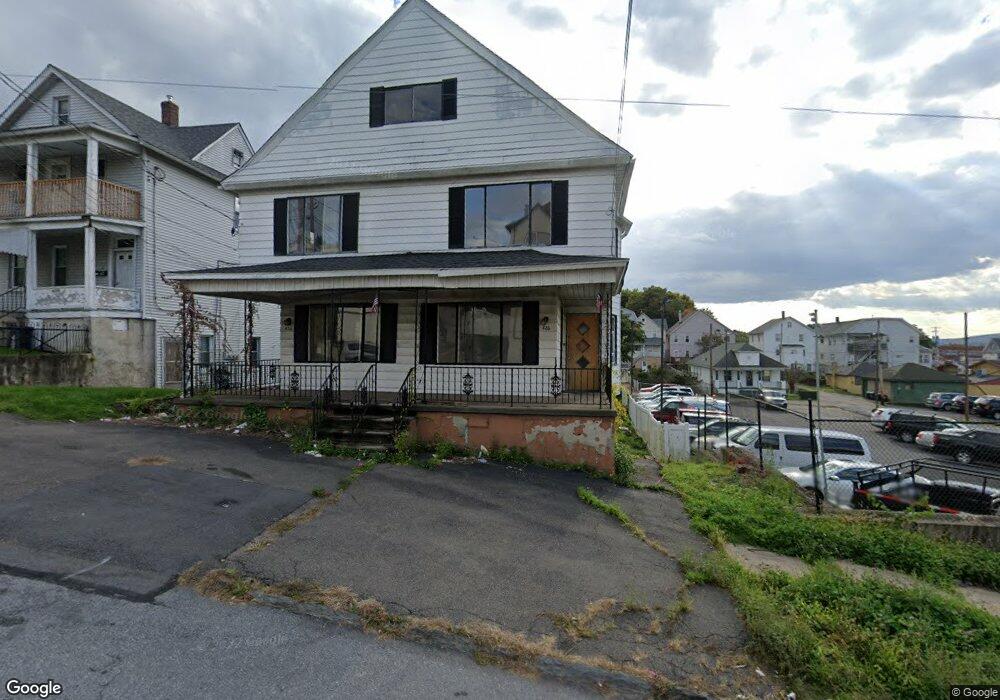
426 Fig St Scranton, PA 18505
South Side NeighborhoodEstimated Value: $125,000 - $177,000
2
Beds
1
Bath
1,200
Sq Ft
$123/Sq Ft
Est. Value
About This Home
This home is located at 426 Fig St, Scranton, PA 18505 and is currently estimated at $147,667, approximately $123 per square foot. 426 Fig St is a home located in Lackawanna County with nearby schools including McNichols Plaza Elementary School, South Scranton Intermediate, and West Scranton High School.
Ownership History
Date
Name
Owned For
Owner Type
Purchase Details
Closed on
Jun 30, 2023
Sold by
426 Fig Scranton Llc
Bought by
426-428 Fig St Corp
Current Estimated Value
Home Financials for this Owner
Home Financials are based on the most recent Mortgage that was taken out on this home.
Original Mortgage
$187,900
Interest Rate
7.19%
Mortgage Type
Credit Line Revolving
Purchase Details
Closed on
Aug 20, 2020
Sold by
Midfirst Bank
Bought by
426 Fig Scranton Llc
Purchase Details
Closed on
Jan 19, 2020
Sold by
Frable Randall E
Bought by
Midfirst Bank
Purchase Details
Closed on
Jul 25, 2001
Bought by
Frable Randall E
Create a Home Valuation Report for This Property
The Home Valuation Report is an in-depth analysis detailing your home's value as well as a comparison with similar homes in the area
Home Values in the Area
Average Home Value in this Area
Purchase History
| Date | Buyer | Sale Price | Title Company |
|---|---|---|---|
| 426-428 Fig St Corp | $90,000 | None Listed On Document | |
| 426 Fig Scranton Llc | $42,000 | Madison Title Agency Llc | |
| Midfirst Bank | $1,191 | None Available | |
| Frable Randall E | $63,800 | -- |
Source: Public Records
Mortgage History
| Date | Status | Borrower | Loan Amount |
|---|---|---|---|
| Previous Owner | 426-428 Fig St Corp | $187,900 |
Source: Public Records
Tax History
| Year | Tax Paid | Tax Assessment Tax Assessment Total Assessment is a certain percentage of the fair market value that is determined by local assessors to be the total taxable value of land and additions on the property. | Land | Improvement |
|---|---|---|---|---|
| 2025 | $3,007 | $9,000 | $2,000 | $7,000 |
| 2024 | $2,756 | $9,000 | $2,000 | $7,000 |
| 2023 | $2,756 | $9,000 | $2,000 | $7,000 |
| 2022 | $2,695 | $9,000 | $2,000 | $7,000 |
| 2021 | $2,695 | $9,000 | $2,000 | $7,000 |
| 2020 | $2,647 | $9,000 | $2,000 | $7,000 |
| 2019 | $2,492 | $9,000 | $2,000 | $7,000 |
| 2018 | $2,492 | $9,000 | $2,000 | $7,000 |
| 2017 | $2,450 | $9,000 | $2,000 | $7,000 |
| 2016 | $819 | $9,000 | $2,000 | $7,000 |
| 2015 | $1,858 | $9,000 | $2,000 | $7,000 |
| 2014 | -- | $9,000 | $2,000 | $7,000 |
Source: Public Records
Map
Nearby Homes
- 1508 Cedar Ave
- 511 Fig St
- 1614 Prospect Ave
- 1429 Prospect Ave
- 626 Fig St
- 626 Cherry St
- 1131 Pittston Ave
- 1830 Pittston Ave Unit REAR
- 1827 Prospect Ave
- 613 E Locust St
- 2129 Pittston Ave
- 1017 Hamm Ct
- 1826 S Webster Ave
- 635 E Elm St Unit Rear
- 1024 S Webster Ave
- 524 Gibbons St
- 1019 S Webster Ave
- 717 E Elm St Unit REAR
- 828 Pittston Ave
- 326 Neptune Place