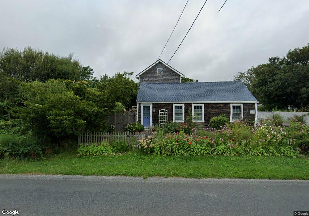
426 Hixbridge Rd Westport, MA 02790
Estimated Value: $770,000 - $2,307,000
1
Bed
2
Baths
1,500
Sq Ft
$795/Sq Ft
Est. Value
About This Home
This home is located at 426 Hixbridge Rd, Westport, MA 02790 and is currently estimated at $1,192,144, approximately $794 per square foot. 426 Hixbridge Rd is a home located in Bristol County with nearby schools including Alice A. Macomber Primary School, Westport Elementary School, and Westport Middle-High School.
Ownership History
Date
Name
Owned For
Owner Type
Purchase Details
Closed on
Jul 19, 1999
Sold by
Mason Ellen
Bought by
Ohara Antony E and Ohara Amy M
Current Estimated Value
Create a Home Valuation Report for This Property
The Home Valuation Report is an in-depth analysis detailing your home's value as well as a comparison with similar homes in the area
Home Values in the Area
Average Home Value in this Area
Purchase History
| Date | Buyer | Sale Price | Title Company |
|---|---|---|---|
| Ohara Antony E | $147,000 | -- |
Source: Public Records
Mortgage History
| Date | Status | Borrower | Loan Amount |
|---|---|---|---|
| Open | Ohara Antony E | $300,000 | |
| Closed | Ohara Antony E | $124,900 | |
| Closed | Ohara Antony E | $150,500 | |
| Closed | Ohara Antony E | $12,000 |
Source: Public Records
Tax History Compared to Growth
Tax History
| Year | Tax Paid | Tax Assessment Tax Assessment Total Assessment is a certain percentage of the fair market value that is determined by local assessors to be the total taxable value of land and additions on the property. | Land | Improvement |
|---|---|---|---|---|
| 2025 | $4,592 | $616,400 | $181,300 | $435,100 |
| 2024 | $4,584 | $593,000 | $168,000 | $425,000 |
| 2023 | $4,423 | $542,000 | $141,500 | $400,500 |
| 2022 | $3,942 | $464,800 | $141,500 | $323,300 |
| 2021 | $3,612 | $419,000 | $128,700 | $290,300 |
| 2020 | $3,488 | $413,800 | $123,500 | $290,300 |
| 2019 | $3,306 | $399,700 | $118,200 | $281,500 |
| 2018 | $3,004 | $367,700 | $120,300 | $247,400 |
| 2017 | $2,948 | $369,900 | $122,600 | $247,300 |
| 2016 | $2,793 | $353,100 | $127,200 | $225,900 |
| 2015 | $2,684 | $338,400 | $129,600 | $208,800 |
Source: Public Records
Map
Nearby Homes
- 225 Hixbridge Rd
- 920 Drift Rd
- 99 Sylvia Ln
- 73 White Oak Run
- 837 Main Rd
- 2 Slades Farm Ln
- 8 Village Way
- 7 Village Way
- 15 Village Way
- 101 Adamsville Rd
- 1346 Main Rd Unit B
- 118 Charlotte White Rd Extension
- 0 Hidden Glen Ln
- 8 Strawberry Ln
- 1580 Main Rd
- 47 Fallon Dr
- Lot 0 Marcotte
- 1702J Drift Rd
- 1702 Drift Rd
- 118 Charlotte White Rd
- 434 Hixbridge Rd
- 434 Hix Bridge
- 438 Hixbridge Rd
- 442 Hixbridge Rd
- 408 Hixbridge Rd
- 408 Hixbridge Rd Unit WINTER RENT
- 407 Hixbridge Rd
- 450 Hixbridge Rd
- 417A Hixbridge Rd
- 458 Hixbridge Rd
- 0-7 Horseneck Rd
- 395 Hixbridge Rd
- Lot 3 Horseneck Rd
- 387 Hixbridge Rd
- Lot 00 Pine Hill Rd
- 00 Pine Hill Rd
- 47 Horseneck Rd
- Lot 0 Hix Bridge Rd
- 379 Hixbridge Rd
- 83 Horseneck Rd