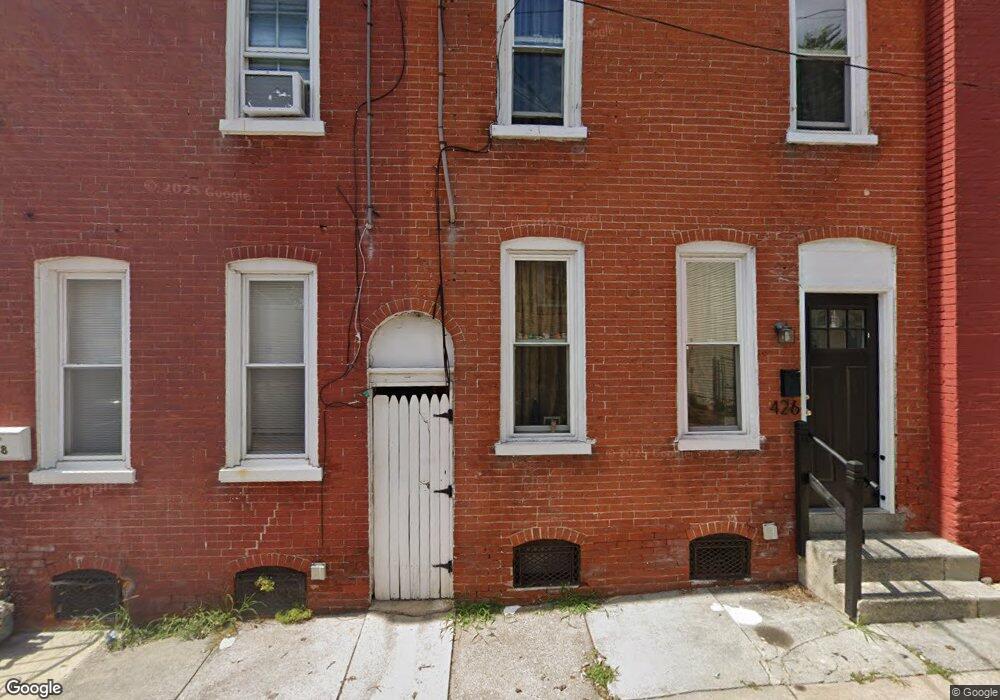
426 Howard Ave Lancaster, PA 17602
Churchtowne NeighborhoodEstimated Value: $175,978 - $199,000
3
Beds
1
Bath
1,188
Sq Ft
$154/Sq Ft
Est. Value
About This Home
This home is located at 426 Howard Ave, Lancaster, PA 17602 and is currently estimated at $183,495, approximately $154 per square foot. 426 Howard Ave is a home located in Lancaster County with nearby schools including Carter & MacRae Elementary School, Reynolds Middle School, and McCaskey High School.
Ownership History
Date
Name
Owned For
Owner Type
Purchase Details
Closed on
Mar 13, 2018
Sold by
Nefe J Gary
Bought by
Gearhart Ryan
Current Estimated Value
Purchase Details
Closed on
Jul 7, 1999
Sold by
Carroll John T and Krasny Marvin
Bought by
Neff J Gary
Purchase Details
Closed on
May 15, 1998
Sold by
Verling Edward and Nelson Madeline F
Bought by
Weickel Mickey A
Home Financials for this Owner
Home Financials are based on the most recent Mortgage that was taken out on this home.
Original Mortgage
$55,300
Interest Rate
6.92%
Create a Home Valuation Report for This Property
The Home Valuation Report is an in-depth analysis detailing your home's value as well as a comparison with similar homes in the area
Home Values in the Area
Average Home Value in this Area
Purchase History
| Date | Buyer | Sale Price | Title Company |
|---|---|---|---|
| Gearhart Ryan | -- | None Available | |
| Neff J Gary | -- | -- | |
| Weickel Mickey A | $80,000 | -- |
Source: Public Records
Mortgage History
| Date | Status | Borrower | Loan Amount |
|---|---|---|---|
| Previous Owner | Weickel Mickey A | $55,300 |
Source: Public Records
Tax History Compared to Growth
Tax History
| Year | Tax Paid | Tax Assessment Tax Assessment Total Assessment is a certain percentage of the fair market value that is determined by local assessors to be the total taxable value of land and additions on the property. | Land | Improvement |
|---|---|---|---|---|
| 2025 | $1,931 | $48,800 | $12,500 | $36,300 |
| 2024 | $1,931 | $48,800 | $12,500 | $36,300 |
| 2023 | $1,899 | $48,800 | $12,500 | $36,300 |
| 2022 | $1,819 | $48,800 | $12,500 | $36,300 |
| 2021 | $1,780 | $48,800 | $12,500 | $36,300 |
| 2020 | $1,780 | $48,800 | $12,500 | $36,300 |
| 2019 | $1,754 | $48,800 | $12,500 | $36,300 |
| 2018 | $1,041 | $48,800 | $12,500 | $36,300 |
| 2017 | $1,621 | $35,300 | $13,300 | $22,000 |
| 2016 | $1,607 | $35,300 | $13,300 | $22,000 |
| 2015 | $627 | $35,300 | $13,300 | $22,000 |
| 2014 | $1,402 | $35,300 | $13,300 | $22,000 |
Source: Public Records
Map
Nearby Homes
- 513 Howard Ave
- 507 Locust St
- 462 S Christian St
- 14 E Farnum St
- 520 S Duke St
- 316 Beaver St
- 536 Woodward St
- 341 S Prince St
- 565 S Christian St
- 567 S Christian St
- 555 Woodward St
- 348 S Prince St
- 459 S Queen St
- 114 S Prince St
- 530 S Lime St
- 14 S Queen St
- 506 Beaver St
- 442 Fremont St
- 561 S Lime St
- 217 W Vine St
- 428 Howard Ave
- 424 Howard Ave
- 422 Howard Ave
- 420 Howard Ave
- 430 Howard Ave
- 420 1/2 Howard Ave
- 432 Howard Ave
- 418 1/2 Howard Ave
- 434 Howard Ave
- 421 Church St
- 419 Church St
- 416 Howard Ave
- 425 Church St
- 427 Church St
- 429 Church St
- 435 Church St
- 417 Church St
- 414 Howard Ave
- 325 S Christian St
- 415 Church St