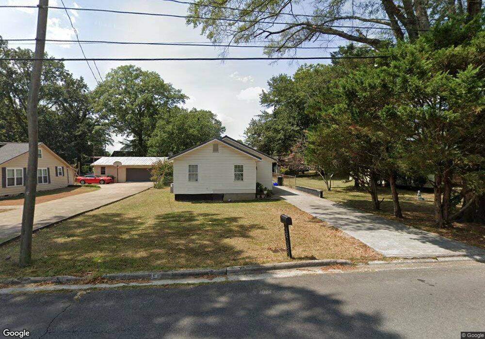
426 Lester Ave Dalton, GA 30721
Estimated Value: $130,000 - $233,000
Studio
1
Bath
1,002
Sq Ft
$171/Sq Ft
Est. Value
About This Home
This home is located at 426 Lester Ave, Dalton, GA 30721 and is currently estimated at $171,653, approximately $171 per square foot. 426 Lester Ave is a home located in Whitfield County with nearby schools including Blue Ridge Elementary School, Dalton High School, and Christian Heritage School.
Ownership History
Date
Name
Owned For
Owner Type
Purchase Details
Closed on
Jul 27, 2022
Sold by
Sanchez Roberto D
Bought by
Garnica Victoria
Current Estimated Value
Purchase Details
Closed on
Mar 18, 2014
Sold by
Wells Fargo Bank Na Trustee
Bought by
Sanchez Roberto D
Purchase Details
Closed on
Dec 3, 2013
Sold by
Nelson Jerry M
Bought by
Wells Fargo Bank Na Trustee
Purchase Details
Closed on
Sep 5, 2001
Sold by
Bartenfield Jerome
Bought by
Wilson Jerry M
Create a Home Valuation Report for This Property
The Home Valuation Report is an in-depth analysis detailing your home's value as well as a comparison with similar homes in the area
Purchase History
| Date | Buyer | Sale Price | Title Company |
|---|---|---|---|
| Garnica Victoria | -- | -- | |
| Garnica Victoria | -- | -- | |
| Sanchez Roberto D | $29,500 | -- | |
| Wells Fargo Bank Na Trustee | -- | -- | |
| Wilson Jerry M | $40,000 | -- |
Source: Public Records
Tax History
| Year | Tax Paid | Tax Assessment Tax Assessment Total Assessment is a certain percentage of the fair market value that is determined by local assessors to be the total taxable value of land and additions on the property. | Land | Improvement |
|---|---|---|---|---|
| 2025 | $1,527 | $47,455 | $8,400 | $39,055 |
| 2024 | $1,527 | $47,455 | $8,400 | $39,055 |
| 2023 | $1,231 | $41,140 | $10,000 | $31,140 |
| 2022 | $560 | $16,272 | $4,620 | $11,652 |
| 2021 | $561 | $16,272 | $4,620 | $11,652 |
| 2020 | $583 | $16,272 | $4,620 | $11,652 |
| 2019 | $601 | $16,272 | $4,620 | $11,652 |
| 2018 | $610 | $16,272 | $4,620 | $11,652 |
| 2017 | $587 | $16,272 | $4,620 | $11,652 |
| 2016 | $482 | $13,261 | $2,646 | $10,615 |
| 2014 | $438 | $13,261 | $2,646 | $10,615 |
| 2013 | -- | $19,123 | $3,780 | $15,343 |
Source: Public Records
Map
Nearby Homes
- 1902 Bartenfield Dr
- 514 Sheridan Ave
- 306 Robinwood Dr
- 143 Staten St
- 1104 May St
- 1302 Jackson Rd
- 359 Pacer Ln Unit 4
- 1118 Dozier St
- 171 Keith St
- 213 Nashville St
- 626 Fifth Ave
- 303 Janice St
- 1217 Hair St Unit 1
- 902 Mattie Dr
- 108 Van Buren Dr
- 121 Eugenia Dr
- 119 Eugenia Dr
- 1320 Coker Dr
- 118 Hill Rd
- 1317 Coker Dr
- 428 Lester Ave
- 424 Lester Ave
- 423 Barbara Ave
- 422 Lester Ave
- 421 Barbara Ave
- 429 Lester Ave
- 425 Lester Ave
- 421 Lester Ave
- 429 Barbara Ave
- 423 Lester Ave
- 430 Lester Ave
- 419 Barbara Ave
- 427 Barbara Ave
- 433 Lester Ave
- 420 Lester Ave
- 29L Barbara Ave
- 502 Lester Ave
- 408 Lester Ave
- 501 Lester Ave
- 419 Lester Ave
Your Personal Tour Guide
Ask me questions while you tour the home.