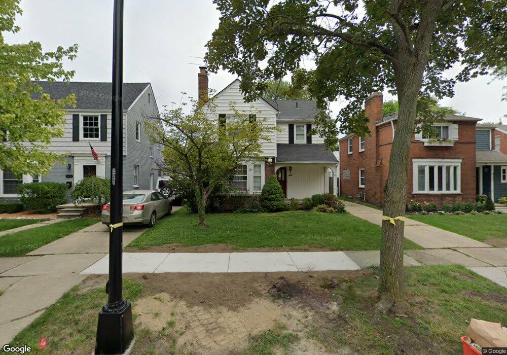
426 Lothrop Rd Grosse Pointe Farms, MI 48236
Estimated Value: $361,436 - $438,000
--
Bed
1
Bath
1,740
Sq Ft
$230/Sq Ft
Est. Value
About This Home
This home is located at 426 Lothrop Rd, Grosse Pointe Farms, MI 48236 and is currently estimated at $399,359, approximately $229 per square foot. 426 Lothrop Rd is a home located in Wayne County with nearby schools including Kerby Elementary School, Brownell Middle School, and Grosse Pointe South High School.
Ownership History
Date
Name
Owned For
Owner Type
Purchase Details
Closed on
Aug 26, 2017
Sold by
Levant Smith Jessica E and Levant Blake Geoffrey
Bought by
Black Jessica
Current Estimated Value
Home Financials for this Owner
Home Financials are based on the most recent Mortgage that was taken out on this home.
Original Mortgage
$198,921
Outstanding Balance
$109,111
Interest Rate
4.4%
Mortgage Type
FHA
Estimated Equity
$290,248
Purchase Details
Closed on
Jul 12, 2007
Sold by
Howard Peter J
Bought by
Smith Jessica E
Create a Home Valuation Report for This Property
The Home Valuation Report is an in-depth analysis detailing your home's value as well as a comparison with similar homes in the area
Home Values in the Area
Average Home Value in this Area
Purchase History
| Date | Buyer | Sale Price | Title Company |
|---|---|---|---|
| Black Jessica | -- | Title 365 | |
| Smith Jessica E | $180,000 | Multiple |
Source: Public Records
Mortgage History
| Date | Status | Borrower | Loan Amount |
|---|---|---|---|
| Open | Black Jessica | $198,921 |
Source: Public Records
Tax History Compared to Growth
Tax History
| Year | Tax Paid | Tax Assessment Tax Assessment Total Assessment is a certain percentage of the fair market value that is determined by local assessors to be the total taxable value of land and additions on the property. | Land | Improvement |
|---|---|---|---|---|
| 2025 | $4,713 | $159,300 | $0 | $0 |
| 2024 | $4,713 | $151,000 | $0 | $0 |
| 2023 | $4,385 | $140,000 | $0 | $0 |
| 2022 | $6,170 | $128,900 | $0 | $0 |
| 2021 | $5,599 | $118,000 | $0 | $0 |
| 2019 | $5,086 | $109,600 | $0 | $0 |
| 2018 | $3,341 | $103,900 | $0 | $0 |
| 2017 | $3,420 | $101,100 | $0 | $0 |
| 2016 | $3,940 | $99,200 | $0 | $0 |
| 2015 | $7,102 | $78,400 | $0 | $0 |
| 2013 | $6,880 | $68,800 | $0 | $0 |
| 2012 | $1,829 | $68,800 | $21,000 | $47,800 |
Source: Public Records
Map
Nearby Homes
- 415 Lothrop Rd
- 441 Manor St
- 380 Merriweather Rd
- 975 Fisher Rd
- 343 Mount Vernon Ave
- 317 Mount Vernon Ave
- 471 Touraine Rd
- 314 Mount Vernon Ave
- 302 Mount Vernon Ave
- 351 Moselle Place
- 352 Mckinley Ave
- 265 Williams Ave
- 432 Calvin Ave
- 18119 Cornwall St
- 341 Mcmillan Rd
- 827 Fisher Rd
- 4598 Lodewyck St
- 876 Washington Rd
- 5047 Anatole St
- 259 Mount Vernon Ave
- 422 Lothrop Rd
- 428 Lothrop Rd
- 430 Lothrop Rd
- 421 Madison St
- 418 Lothrop Rd
- 432 Lothrop Rd
- 417 Madison St
- 429 Madison St
- 427 Lothrop Rd
- 414 Lothrop Rd
- 413 Madison St
- 436 Lothrop Rd Unit Bldg-Unit
- 436 Lothrop Rd
- 431 Madison St
- 425 Lothrop Rd
- 421 Lothrop Rd
- 419 Lothrop Rd
- 411 Madison St
- 433 Madison St
- 412 Lothrop Rd