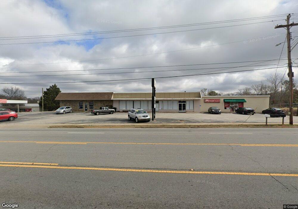
426 N Expressway Griffin, GA 30223
Spalding County NeighborhoodEstimated Value: $723,565
--
Bed
--
Bath
7,208
Sq Ft
$100/Sq Ft
Est. Value
About This Home
This home is located at 426 N Expressway, Griffin, GA 30223 and is currently estimated at $723,565, approximately $100 per square foot. 426 N Expressway is a home located in Spalding County with nearby schools including Orrs Elementary School, Carver Road Middle School, and Griffin High School.
Ownership History
Date
Name
Owned For
Owner Type
Purchase Details
Closed on
Apr 5, 2005
Sold by
West Griffin Building Supply I
Bought by
Bailey Anthony L
Current Estimated Value
Home Financials for this Owner
Home Financials are based on the most recent Mortgage that was taken out on this home.
Original Mortgage
$330,000
Interest Rate
5.62%
Mortgage Type
Commercial
Purchase Details
Closed on
Feb 1, 1973
Sold by
Wilson E D
Bought by
West Griffin Bldg Supply
Create a Home Valuation Report for This Property
The Home Valuation Report is an in-depth analysis detailing your home's value as well as a comparison with similar homes in the area
Home Values in the Area
Average Home Value in this Area
Purchase History
| Date | Buyer | Sale Price | Title Company |
|---|---|---|---|
| Bailey Anthony L | $330,000 | -- | |
| West Griffin Bldg Supply | -- | -- |
Source: Public Records
Mortgage History
| Date | Status | Borrower | Loan Amount |
|---|---|---|---|
| Closed | Bailey Anthony L | $330,000 |
Source: Public Records
Tax History Compared to Growth
Tax History
| Year | Tax Paid | Tax Assessment Tax Assessment Total Assessment is a certain percentage of the fair market value that is determined by local assessors to be the total taxable value of land and additions on the property. | Land | Improvement |
|---|---|---|---|---|
| 2024 | $8,102 | $209,975 | $71,600 | $138,375 |
| 2023 | $7,899 | $197,665 | $71,600 | $126,065 |
| 2022 | $5,735 | $143,519 | $71,600 | $71,919 |
| 2021 | $5,756 | $144,025 | $71,600 | $72,425 |
| 2020 | $5,756 | $144,025 | $71,600 | $72,425 |
| 2019 | $5,861 | $144,025 | $71,600 | $72,425 |
| 2018 | $6,084 | $144,025 | $71,600 | $72,425 |
| 2017 | $5,953 | $144,025 | $71,600 | $72,425 |
| 2016 | $6,049 | $144,025 | $71,600 | $72,425 |
| 2015 | $6,149 | $144,025 | $71,600 | $72,425 |
| 2014 | $6,334 | $144,025 | $71,600 | $72,425 |
Source: Public Records
Map
Nearby Homes
- 602 Melrose Ave
- 124 Ohoopee Dr
- 203 Hillside Cir
- 1223 W Broad St
- 1206 Hillwood Ave
- 1127 Thompson St
- 306 Louise Ln Unit A
- 141 North Expy
- 1102 Thompson St
- 1024 Lake Ave
- 1126 Wright St
- 1017 Lake Ave
- 354 N 17th St
- 417 N 16th St
- 1106 Wright St
- 1025 W Broad St
- 1017 W Broad St
- 318 N 15th St
- 82 Crystal Brook
- 930 W Broad St
- 426 N Expressway Unit E
- 425 Melrose Ave
- 0 Melrose Ave Unit 3289447
- 0 Melrose Ave Unit 8089125
- 0 Melrose Ave Unit 7037370
- 0 Melrose Ave Unit 7037352
- 0 Melrose Ave Unit 7428035
- 0 Melrose Ave Unit 7249712
- 0 Melrose Ave Unit 7046643
- 0 Melrose Ave Unit 7612833
- 0 Melrose Ave Unit 7590093
- 0 Melrose Ave Unit 7373129
- 515 Melrose Ave
- 371 North Expy
- 426 Melrose Ave
- 406 Melrose Ave
- 371 N Expressway
- 381 Melrose Ave
- 381 Melrose Ave Unit 113
- 1430 Lyndon Ave