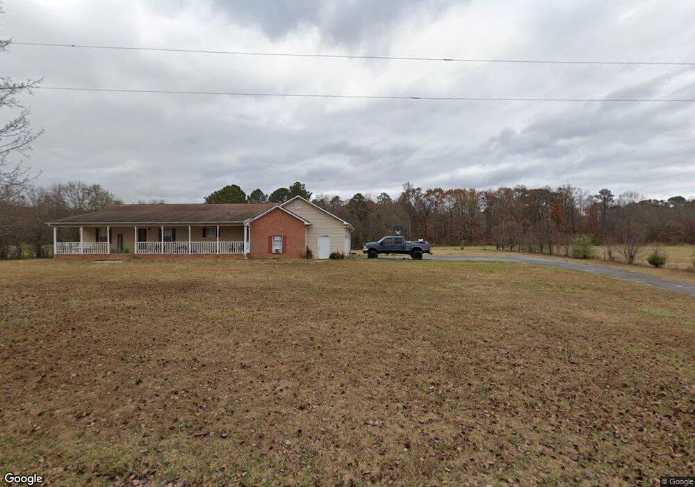
426 Nicholas Paul Dr Resaca, GA 30735
Estimated Value: $224,000 - $289,000
--
Bed
2
Baths
1,948
Sq Ft
$129/Sq Ft
Est. Value
About This Home
This home is located at 426 Nicholas Paul Dr, Resaca, GA 30735 and is currently estimated at $250,377, approximately $128 per square foot. 426 Nicholas Paul Dr is a home located in Whitfield County with nearby schools including Valley Point Elementary School, Valley Point Middle School, and Southeast Whitfield County High School.
Ownership History
Date
Name
Owned For
Owner Type
Purchase Details
Closed on
Jun 6, 2018
Sold by
B
Bought by
J
Current Estimated Value
Purchase Details
Closed on
Apr 18, 2016
Sold by
Parker Clifford
Bought by
B & E Plaza Properties Llc
Purchase Details
Closed on
Mar 14, 2005
Sold by
Smilley Winston S
Bought by
Parker Clifford and Parker Jo Ann
Purchase Details
Closed on
Sep 15, 2003
Sold by
Parker Clifford and Parker Joann
Bought by
Swilley Tara and Swilley Scott
Purchase Details
Closed on
May 11, 2000
Sold by
Walker Tara Nicole
Bought by
Parker Clifford and Parker Joann
Purchase Details
Closed on
Aug 1, 1998
Bought by
Walker Paul S and Walker Tara N
Create a Home Valuation Report for This Property
The Home Valuation Report is an in-depth analysis detailing your home's value as well as a comparison with similar homes in the area
Home Values in the Area
Average Home Value in this Area
Purchase History
| Date | Buyer | Sale Price | Title Company |
|---|---|---|---|
| J | -- | -- | |
| B & E Plaza Properties Llc | -- | -- | |
| Parker Clifford | $35,000 | -- | |
| Parker Clifford | $35,000 | -- | |
| Swilley Tara | -- | -- | |
| Parker Clifford | -- | -- | |
| Walker Paul S | -- | -- |
Source: Public Records
Tax History Compared to Growth
Tax History
| Year | Tax Paid | Tax Assessment Tax Assessment Total Assessment is a certain percentage of the fair market value that is determined by local assessors to be the total taxable value of land and additions on the property. | Land | Improvement |
|---|---|---|---|---|
| 2024 | $2,246 | $96,369 | $6,142 | $90,227 |
| 2023 | $2,246 | $74,928 | $3,472 | $71,456 |
| 2022 | $1,717 | $58,214 | $2,834 | $55,380 |
| 2021 | $1,718 | $58,214 | $2,834 | $55,380 |
| 2020 | $1,776 | $58,214 | $2,834 | $55,380 |
| 2019 | $1,805 | $58,214 | $2,834 | $55,380 |
| 2018 | $1,827 | $57,980 | $2,600 | $55,380 |
| 2017 | $1,828 | $57,980 | $2,600 | $55,380 |
| 2016 | $1,588 | $52,378 | $2,000 | $50,378 |
| 2014 | $1,470 | $54,600 | $4,223 | $50,378 |
| 2013 | -- | $54,600 | $4,222 | $50,377 |
Source: Public Records
Map
Nearby Homes
- 73 Acres S Dixie Hwy
- 402 W Nance Springs Rd
- 323 Tubman Way
- 4381 S Dixie Hwy
- 4888 Cline Rd
- 104 W Nance Springs Rd
- 137 Praters Dr
- 4280 Old Dixie Hwy SE
- 3737 S Dixie Rd
- 0 Carbondale Rd SW Unit 129966
- 0 Carbondale Rd SW Unit 7574085
- 0 Carbondale Rd SW Unit 130445
- 0 Carbondale Rd SW Unit 1522370
- 0 Carbondale Rd SW Unit 10515867
- 0 Carbondale Rd SW Unit 129726
- 213 Gwendolyn Lee Ln
- 876 Cline Rd
- 5064 S Dixie Hwy
- 122 Robin Hood Dr
- 116 Robin Hood Dr
- 564 Nicholas Paul Dr
- 430 W Nance Springs Rd
- 4612 S Dixie Hwy
- 176 Nicholas Paul Dr
- 4025 Ashley Brook Dr
- 4085 Ashley Brook Dr
- 4650 S Dixie Hwy
- 366 W Nance Springs Rd
- 4606 S Dixie Hwy
- 4033 Ashley Brook Dr
- 400 W Nance Springs Rd
- 360 W Nance Springs Rd
- 00 S Dixie Hwy
- 367 W Nance Springs Rd
- 4769 S Dixie Rd
- 4769 S Dixie Rd Unit 1-01
- S S Dixie Hwy
- 135 Lloyd Way
- 350 W Nance Springs Rd
- 4666 S Dixie Hwy