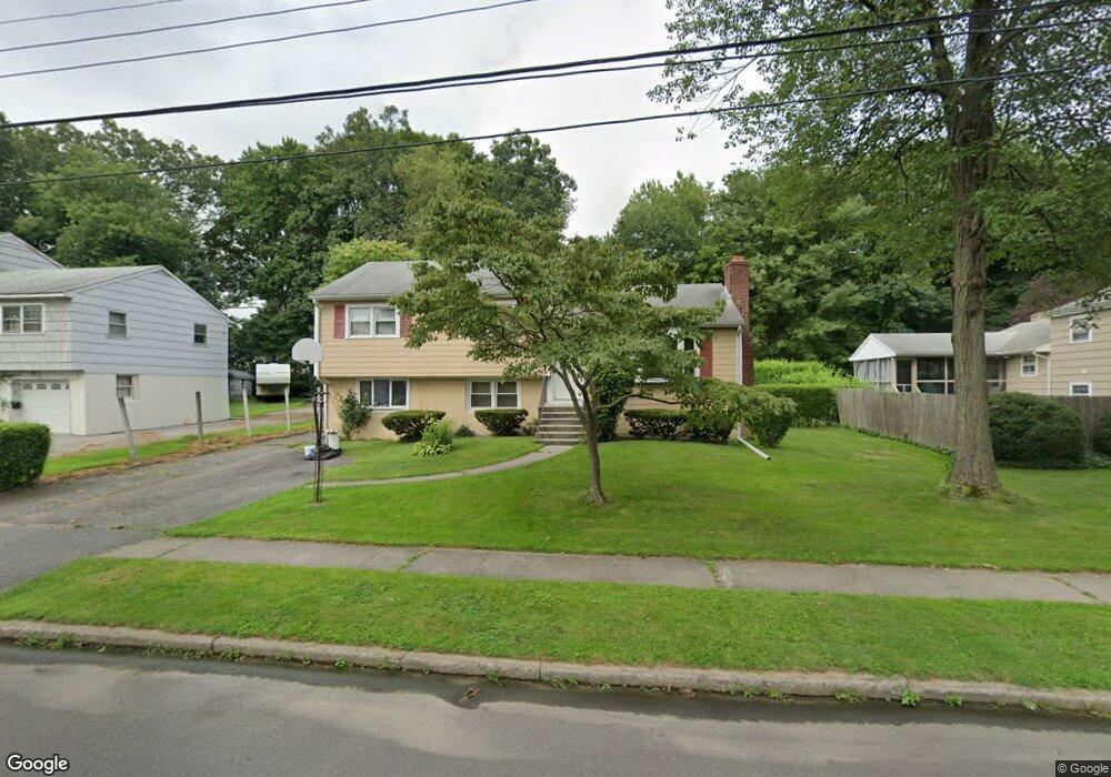
426 Pemburn Dr Fairfield, CT 06824
University NeighborhoodEstimated Value: $708,000 - $905,000
3
Beds
2
Baths
1,300
Sq Ft
$610/Sq Ft
Est. Value
About This Home
This home is located at 426 Pemburn Dr, Fairfield, CT 06824 and is currently estimated at $793,295, approximately $610 per square foot. 426 Pemburn Dr is a home located in Fairfield County with nearby schools including Holland Hill Elementary, Fairfield Woods Middle School, and Fairfield Ludlowe High School.
Ownership History
Date
Name
Owned For
Owner Type
Purchase Details
Closed on
Jul 5, 2023
Sold by
Hickey Thomas D
Bought by
Hickey Lori E
Current Estimated Value
Purchase Details
Closed on
Aug 1, 1994
Sold by
Maxfield Dennis C and Maxfield Jenifer A
Bought by
Hickey Thomas D and Hickey Lori E
Home Financials for this Owner
Home Financials are based on the most recent Mortgage that was taken out on this home.
Original Mortgage
$150,000
Interest Rate
8.25%
Mortgage Type
Purchase Money Mortgage
Purchase Details
Closed on
Apr 14, 1988
Sold by
Wornitsky Donald T
Bought by
Maxfield Dennis C
Create a Home Valuation Report for This Property
The Home Valuation Report is an in-depth analysis detailing your home's value as well as a comparison with similar homes in the area
Home Values in the Area
Average Home Value in this Area
Purchase History
| Date | Buyer | Sale Price | Title Company |
|---|---|---|---|
| Hickey Lori E | -- | None Available | |
| Hickey Lori E | -- | None Available | |
| Hickey Thomas D | $227,000 | -- | |
| Hickey Thomas D | $227,000 | -- | |
| Maxfield Dennis C | $227,000 | -- |
Source: Public Records
Mortgage History
| Date | Status | Borrower | Loan Amount |
|---|---|---|---|
| Previous Owner | Maxfield Dennis C | $150,000 | |
| Previous Owner | Maxfield Dennis C | $165,000 | |
| Previous Owner | Maxfield Dennis C | $150,000 |
Source: Public Records
Tax History Compared to Growth
Tax History
| Year | Tax Paid | Tax Assessment Tax Assessment Total Assessment is a certain percentage of the fair market value that is determined by local assessors to be the total taxable value of land and additions on the property. | Land | Improvement |
|---|---|---|---|---|
| 2025 | $8,881 | $312,830 | $237,300 | $75,530 |
| 2024 | $8,728 | $312,830 | $237,300 | $75,530 |
| 2023 | $8,606 | $312,830 | $237,300 | $75,530 |
| 2022 | $8,521 | $312,830 | $237,300 | $75,530 |
| 2021 | $8,440 | $312,830 | $237,300 | $75,530 |
| 2020 | $7,156 | $267,120 | $194,880 | $72,240 |
| 2019 | $7,156 | $267,120 | $194,880 | $72,240 |
| 2018 | $7,041 | $267,120 | $194,880 | $72,240 |
| 2017 | $6,897 | $267,120 | $194,880 | $72,240 |
| 2016 | $6,798 | $267,120 | $194,880 | $72,240 |
| 2015 | $6,702 | $270,340 | $205,870 | $64,470 |
| 2014 | $6,596 | $270,340 | $205,870 | $64,470 |
Source: Public Records
Map
Nearby Homes
- 45 Robin Cir
- 359 Reid St
- 271 Jeniford Rd
- 68 Figlar Ave
- 79 Mayfair Rd
- 109 Jeniford Rd
- 1009 High St
- 478 Crestwood Rd
- 25 Country Rd
- 42 Green Knolls Ln
- 706 Judd St
- 1207 Stillson Rd
- 162 Country Rd Unit 162
- 1137 Stillson Rd
- 1165 Stillson Rd
- 221 Hunyadi Ave
- 143 Sawyer Rd
- 125 Mayweed Rd
- 261 High St
- 276 Carroll Rd