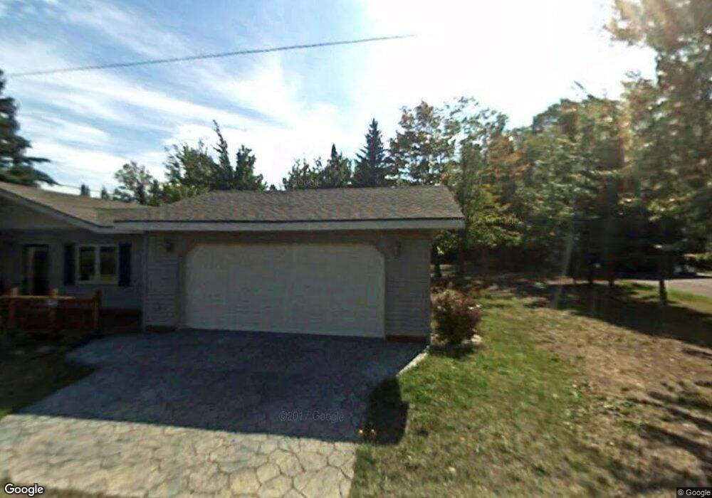
426 Pine St Mohawk, MI 49950
Estimated Value: $333,991 - $389,000
Studio
1
Bath
1,482
Sq Ft
$245/Sq Ft
Est. Value
About This Home
This home is located at 426 Pine St, Mohawk, MI 49950 and is currently estimated at $363,498, approximately $245 per square foot. 426 Pine St is a home located in Keweenaw County with nearby schools including C.L.K. Elementary School, Washington Middle School, and Horizons Alternative High School.
Ownership History
Date
Name
Owned For
Owner Type
Purchase Details
Closed on
Jun 27, 2007
Sold by
Black Robert P and Black Ruth C
Bought by
Tinetti Joseph A and Tinetti Maureen U
Current Estimated Value
Home Financials for this Owner
Home Financials are based on the most recent Mortgage that was taken out on this home.
Original Mortgage
$135,000
Outstanding Balance
$84,026
Interest Rate
6.42%
Mortgage Type
Stand Alone Second
Estimated Equity
$279,472
Create a Home Valuation Report for This Property
The Home Valuation Report is an in-depth analysis detailing your home's value as well as a comparison with similar homes in the area
Purchase History
| Date | Buyer | Sale Price | Title Company |
|---|---|---|---|
| Tinetti Joseph A | $180,000 | -- |
Source: Public Records
Mortgage History
| Date | Status | Borrower | Loan Amount |
|---|---|---|---|
| Open | Tinetti Joseph A | $135,000 |
Source: Public Records
Tax History
| Year | Tax Paid | Tax Assessment Tax Assessment Total Assessment is a certain percentage of the fair market value that is determined by local assessors to be the total taxable value of land and additions on the property. | Land | Improvement |
|---|---|---|---|---|
| 2025 | $4,899 | $148,393 | $60,000 | $88,393 |
| 2024 | -- | $114,861 | $30,000 | $84,861 |
| 2023 | -- | $111,007 | $30,000 | $81,007 |
| 2022 | -- | $108,412 | $30,000 | $78,412 |
| 2021 | -- | $101,528 | $29,500 | $72,028 |
Source: Public Records
Map
Nearby Homes
- 7921 State Highway M26
- 11305 Michigan 26
- 40 Acres Off Snowmobile Trail 133
- TBD 5 Mile Point Rd Unit Lot 15 of Kidder & R
- TBD M26
- 12932 Michigan 26
- 6139 Sand Point Rd
- TBD 14 Harbor Coast Ln
- 2741 Sunset Bay Beach Rd
- TBD160 Michigan 26
- 14330 Harbor Coast Ln
- 242 1st St
- 77 Brockway Ave
- 40 Acres Off Snowmobile Trail 133
- TBD US Highway 41
- 52 Senter St
- TBD Lots 3 & 4 Duncan St
- 392 7th St
- 152 Birch St
- 1021 Sedar Hill(parcel D) Rd Unit (Parcel D)
Your Personal Tour Guide
Ask me questions while you tour the home.