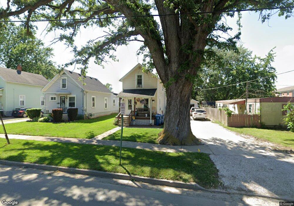
426 S Buchanan St Fremont, OH 43420
Estimated Value: $100,000 - $124,000
2
Beds
1
Bath
868
Sq Ft
$124/Sq Ft
Est. Value
About This Home
This home is located at 426 S Buchanan St, Fremont, OH 43420 and is currently estimated at $107,366, approximately $123 per square foot. 426 S Buchanan St is a home located in Sandusky County with nearby schools including Fremont Ross High School, Sacred Heart School, and St. Joseph School.
Ownership History
Date
Name
Owned For
Owner Type
Purchase Details
Closed on
Sep 6, 2022
Sold by
Sears Jason M
Bought by
Sears Denise A
Current Estimated Value
Home Financials for this Owner
Home Financials are based on the most recent Mortgage that was taken out on this home.
Original Mortgage
$19,000
Outstanding Balance
$18,148
Interest Rate
5.22%
Mortgage Type
Credit Line Revolving
Estimated Equity
$89,218
Purchase Details
Closed on
Jul 30, 1999
Sold by
Est Virginia C Mercer
Bought by
Sears Jason M and Sears Denise A
Home Financials for this Owner
Home Financials are based on the most recent Mortgage that was taken out on this home.
Original Mortgage
$42,700
Interest Rate
7.69%
Mortgage Type
New Conventional
Purchase Details
Closed on
May 1, 1985
Bought by
Sears Jason M and Sears Denise S
Create a Home Valuation Report for This Property
The Home Valuation Report is an in-depth analysis detailing your home's value as well as a comparison with similar homes in the area
Home Values in the Area
Average Home Value in this Area
Purchase History
| Date | Buyer | Sale Price | Title Company |
|---|---|---|---|
| Sears Denise A | -- | First American Title | |
| Sears Jason M | $40,000 | -- | |
| Sears Jason M | -- | -- |
Source: Public Records
Mortgage History
| Date | Status | Borrower | Loan Amount |
|---|---|---|---|
| Open | Sears Denise A | $19,000 | |
| Previous Owner | Sears Jason M | $42,700 |
Source: Public Records
Tax History Compared to Growth
Tax History
| Year | Tax Paid | Tax Assessment Tax Assessment Total Assessment is a certain percentage of the fair market value that is determined by local assessors to be the total taxable value of land and additions on the property. | Land | Improvement |
|---|---|---|---|---|
| 2024 | $906 | $24,610 | $6,930 | $17,680 |
| 2023 | $906 | $19,670 | $5,530 | $14,140 |
| 2022 | $761 | $19,670 | $5,530 | $14,140 |
| 2021 | $786 | $19,670 | $5,530 | $14,140 |
| 2020 | $738 | $18,200 | $5,530 | $12,670 |
| 2019 | $737 | $18,200 | $5,530 | $12,670 |
| 2018 | $738 | $18,200 | $5,530 | $12,670 |
| 2017 | $688 | $16,910 | $5,530 | $11,380 |
| 2016 | $603 | $16,910 | $5,530 | $11,380 |
| 2015 | $593 | $16,910 | $5,530 | $11,380 |
| 2014 | $687 | $18,660 | $5,570 | $13,090 |
| 2013 | $672 | $18,660 | $5,570 | $13,090 |
Source: Public Records
Map
Nearby Homes
- 0 S Buchanan St
- 600 S Buchanan St
- 906 Amsden Blvd
- 925 Woodland St
- 314 S Collinwood Blvd
- 924 Birdseye Blvd
- 714 E State St
- 800 Lawndale Dr
- 230 N Pennsylvania Ave
- 1526 Sunrise Blvd
- 320 Tiffin St
- 515 S Arch St
- 322 4th St
- 208 E State St
- 224 Sandusky Ave Unit 226
- 625 Bush Place
- 1250 Morrison Rd
- 340 340 Sandusky Ave
- 619 Hayes Ave
- 433 Sandusky Ave
- 428 S Buchanan St
- 817 Marvin Blvd
- 430 S Buchanan St
- 432 S Buchanan St
- 434 S Buchanan St
- 901 Amsden Blvd
- 509 S Buchanan St
- 436 S Buchanan St
- 513 S Buchanan St
- 408 S Buchanan St
- 517 S Buchanan St
- 438 S Buchanan St
- 909 Amsden Blvd
- 521 S Buchanan St
- 900 Amsden Blvd
- 427 Maike Place
- 717 Marvin Blvd
- 915 Amsden Blvd
- 414 Maike Place
- 418 Maike Place