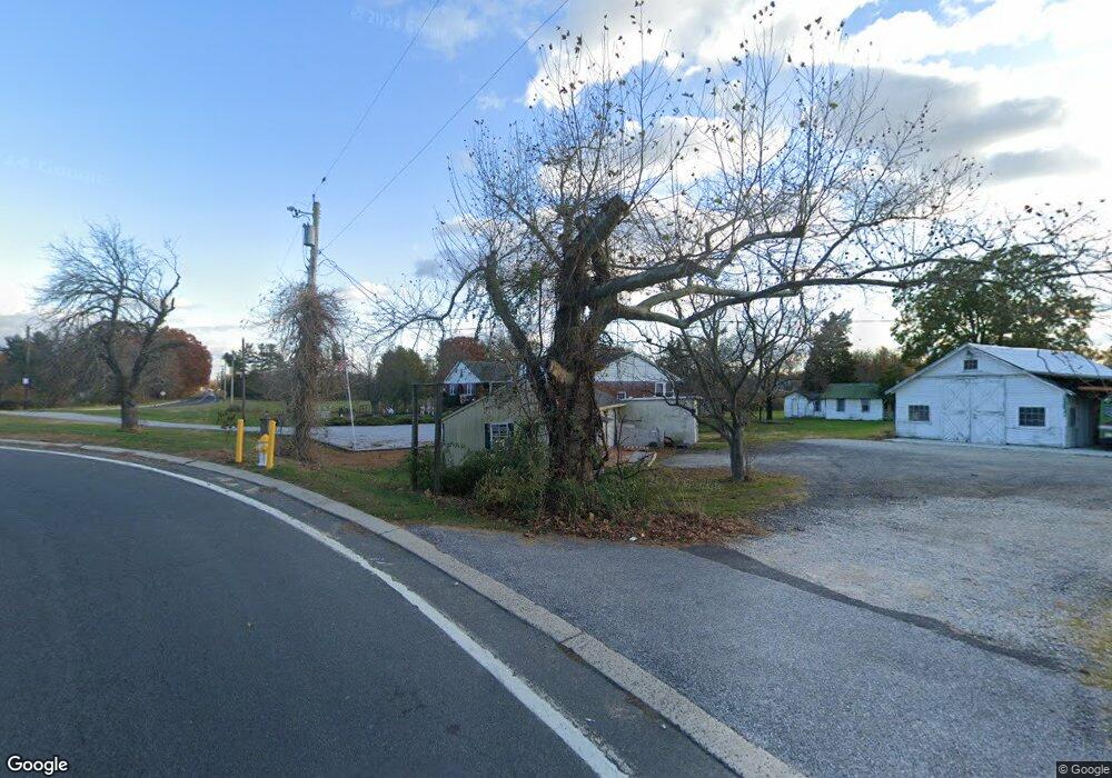
426 S Democrat Rd Gibbstown, NJ 08027
Greenwich Township NeighborhoodEstimated Value: $352,886 - $429,000
--
Bed
--
Bath
2,100
Sq Ft
$190/Sq Ft
Est. Value
About This Home
This home is located at 426 S Democrat Rd, Gibbstown, NJ 08027 and is currently estimated at $397,972, approximately $189 per square foot. 426 S Democrat Rd is a home located in Gloucester County with nearby schools including Nehaunsey Middle School and Guardian Angels Regional School.
Ownership History
Date
Name
Owned For
Owner Type
Purchase Details
Closed on
Mar 30, 2010
Sold by
Banscher Robert J and Banscher Richard J
Bought by
Banscher John Richard and Banscher John R
Current Estimated Value
Create a Home Valuation Report for This Property
The Home Valuation Report is an in-depth analysis detailing your home's value as well as a comparison with similar homes in the area
Home Values in the Area
Average Home Value in this Area
Purchase History
| Date | Buyer | Sale Price | Title Company |
|---|---|---|---|
| Banscher John Richard | $45,000 | None Available |
Source: Public Records
Tax History Compared to Growth
Tax History
| Year | Tax Paid | Tax Assessment Tax Assessment Total Assessment is a certain percentage of the fair market value that is determined by local assessors to be the total taxable value of land and additions on the property. | Land | Improvement |
|---|---|---|---|---|
| 2025 | $7,685 | $223,200 | $39,900 | $183,300 |
| 2024 | $7,281 | $223,200 | $39,900 | $183,300 |
| 2023 | $7,281 | $223,200 | $39,900 | $183,300 |
| 2022 | $7,285 | $223,200 | $39,900 | $183,300 |
| 2021 | $7,209 | $223,200 | $39,900 | $183,300 |
| 2020 | $7,310 | $223,200 | $39,900 | $183,300 |
| 2019 | $7,314 | $223,200 | $39,900 | $183,300 |
| 2018 | $7,107 | $223,200 | $39,900 | $183,300 |
| 2017 | $6,935 | $223,200 | $39,900 | $183,300 |
| 2016 | $6,859 | $223,200 | $39,900 | $183,300 |
| 2015 | $6,638 | $223,200 | $39,900 | $183,300 |
| 2014 | $6,352 | $223,200 | $39,900 | $183,300 |
Source: Public Records
Map
Nearby Homes
- 0 S Democrat Rd Unit NJGL2065008
- 0 Swedesboro Ave Unit NJGL2061592
- 456 Freund Ave
- W Broad St
- 0 Rd Unit NJGL2061600
- 157 S Poplar St
- 100 Giammarino Ave
- 410 Country Way
- 330 Croce Ave
- 433 Jefferson St
- 132 Tomlin Station Rd
- 431 Washington St
- 752 Duncan Ave
- 219 Vanneman Blvd
- 792 Paulsboro Rd
- 788 Paulsboro Rd
- 123 W Tomlin Station Rd
- 255 Elizabeth Ave
- 43 45 Repaupo Station Rd
- 1224 Heddon Ave
- 426 S Democrat Rd
- 420 S Democrat Rd
- 434 S Democrat Rd
- 442 S Democrat Rd
- 441 Democrat Rd
- 0 S Democrat Rd
- 0 S Democrat Rd Unit NJGL2051120
- 0 S Democrat Rd Unit NJGL2012396
- 0 S Democrat Rd Unit NJGL249254
- 0 S Democrat Rd Unit 1000460520
- 461 S Democrat Rd
- 600 Swedesboro Rd
- 540 Swedesboro Rd
- 532 Swedesboro Rd
- 528 Swedesboro Rd
- 557 Swedesboro Rd
- 524 Swedesboro Rd
- 207 S Democrat Rd
- 535 Swedesboro Rd
- 539 Swedesboro Rd