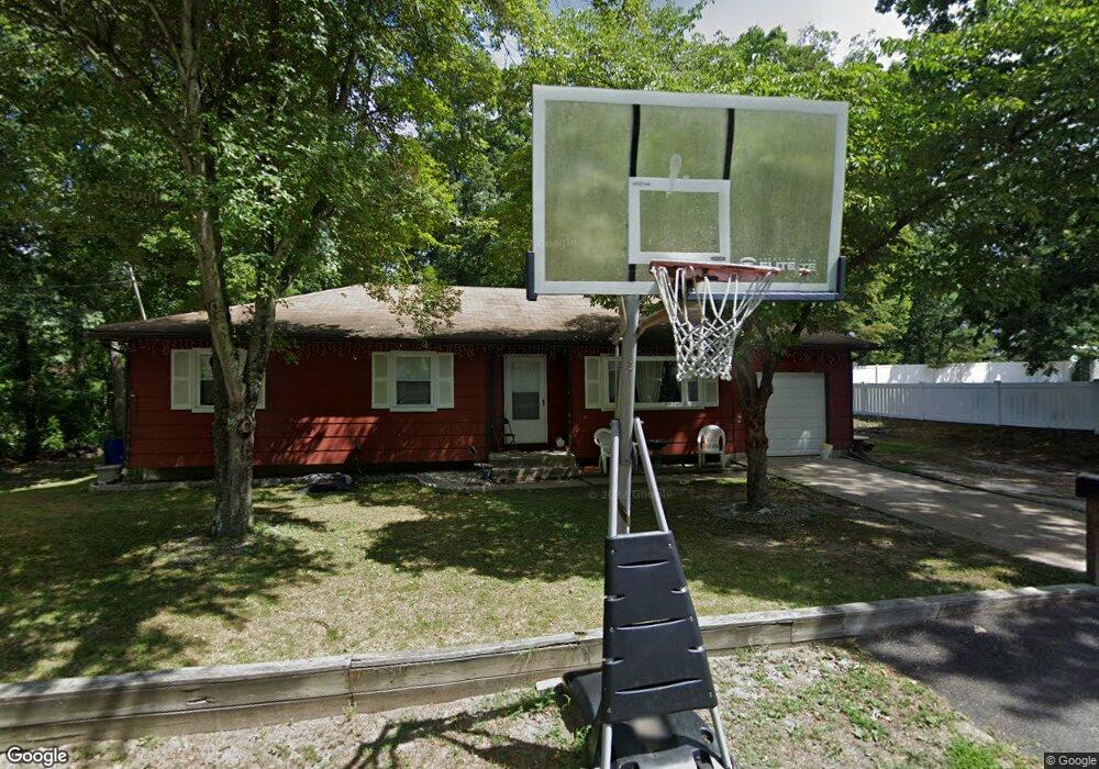
426 Sassafras St Browns Mills, NJ 08015
Estimated Value: $297,542 - $334,000
3
Beds
1
Bath
1,104
Sq Ft
$290/Sq Ft
Est. Value
About This Home
This home is located at 426 Sassafras St, Browns Mills, NJ 08015 and is currently estimated at $319,636, approximately $289 per square foot. 426 Sassafras St is a home located in Burlington County.
Ownership History
Date
Name
Owned For
Owner Type
Purchase Details
Closed on
Sep 27, 2010
Sold by
Hsbc Bank Usa N A
Bought by
Cpo Group Llc
Current Estimated Value
Purchase Details
Closed on
Apr 5, 2010
Sold by
Pardo Cassandra T
Bought by
Hsbc Bank Usa N A
Purchase Details
Closed on
Mar 14, 2006
Sold by
Lynch Susan L
Bought by
Lynch Susan L
Home Financials for this Owner
Home Financials are based on the most recent Mortgage that was taken out on this home.
Original Mortgage
$190,500
Interest Rate
6.32%
Mortgage Type
Fannie Mae Freddie Mac
Create a Home Valuation Report for This Property
The Home Valuation Report is an in-depth analysis detailing your home's value as well as a comparison with similar homes in the area
Home Values in the Area
Average Home Value in this Area
Purchase History
| Date | Buyer | Sale Price | Title Company |
|---|---|---|---|
| Cpo Group Llc | $70,500 | None Available | |
| Hsbc Bank Usa N A | -- | First American Title Ins Co | |
| Lynch Susan L | -- | None Available |
Source: Public Records
Mortgage History
| Date | Status | Borrower | Loan Amount |
|---|---|---|---|
| Previous Owner | Lynch Susan L | $190,500 |
Source: Public Records
Tax History Compared to Growth
Tax History
| Year | Tax Paid | Tax Assessment Tax Assessment Total Assessment is a certain percentage of the fair market value that is determined by local assessors to be the total taxable value of land and additions on the property. | Land | Improvement |
|---|---|---|---|---|
| 2025 | $4,738 | $154,600 | $38,000 | $116,600 |
| 2024 | $4,446 | $154,600 | $38,000 | $116,600 |
| 2023 | $4,446 | $154,600 | $38,000 | $116,600 |
| 2022 | $4,115 | $154,600 | $38,000 | $116,600 |
| 2021 | $3,947 | $154,600 | $38,000 | $116,600 |
| 2020 | $3,799 | $154,600 | $38,000 | $116,600 |
| 2019 | $3,638 | $154,600 | $38,000 | $116,600 |
| 2018 | $3,514 | $154,600 | $38,000 | $116,600 |
| 2017 | $3,441 | $154,600 | $38,000 | $116,600 |
| 2016 | $3,387 | $90,600 | $19,600 | $71,000 |
| 2015 | $3,359 | $90,600 | $19,600 | $71,000 |
| 2014 | $3,212 | $90,600 | $19,600 | $71,000 |
Source: Public Records
Map
Nearby Homes
- 428 Bayberry St
- 11 Pardee Blvd
- 200 Rugby St
- 120 Auburn Ave
- 120 Salvia St
- 128 Auburn Ave
- 11 Clover St
- 1030 Hanover Blvd
- 242 Phillips Ave
- 218 Auburn Ave
- 163 Garden Ave
- 152 Blanche St
- 120 Snow Ave
- 302 Lakeview Blvd
- 336 Pardee Blvd
- 402 W Lakeshore Dr
- 30 Apple Ave
- 311 Sumach St
- 330 Woodbine St
- 301 W Lakeshore Dr
- 421 Dogwood St
- 427 Sassafras St
- 412 Sassafras St
- 2103 E Lakeshore Dr
- 444 Sassafras St
- 407 Sassafras St
- 435 Sassafras St
- 2101 E Lakeshore Dr
- 5959 Dogwood St
- 445 Dogwood St
- 2002 E Lakeshore Dr
- 2201 E Lakeshore Dr
- 2001 E Lakeshore Dr
- 421 Anemone St
- 2100 E Lakeshore Dr
- 2203 E Lakeshore Dr
- 344 Sassafras St
- 2200 E Lakeshore Dr
- 351 Dogwood St
- 2000 E Lakeshore Dr