426 Seabolt Rd Blairsville, GA 30512
Estimated Value: $435,000 - $770,675
3
Beds
2
Baths
1,212
Sq Ft
$509/Sq Ft
Est. Value
About This Home
This home is located at 426 Seabolt Rd, Blairsville, GA 30512 and is currently estimated at $617,225, approximately $509 per square foot. 426 Seabolt Rd is a home located in Union County with nearby schools including Union County Primary School, Union County Elementary School, and Union County Middle School.
Ownership History
Date
Name
Owned For
Owner Type
Purchase Details
Closed on
Sep 3, 2024
Sold by
Franzino Muriel
Bought by
Savery Muriel Higbie Trust
Current Estimated Value
Purchase Details
Closed on
Feb 9, 2015
Sold by
Savery Muriel
Bought by
Savery Muriel and Savery William
Purchase Details
Closed on
Jan 26, 2013
Sold by
Franzino Arthur F
Bought by
Franzino Arthur F and Degaglia Margaret
Purchase Details
Closed on
Jul 28, 1968
Bought by
Franzino Arthur F
Create a Home Valuation Report for This Property
The Home Valuation Report is an in-depth analysis detailing your home's value as well as a comparison with similar homes in the area
Home Values in the Area
Average Home Value in this Area
Purchase History
| Date | Buyer | Sale Price | Title Company |
|---|---|---|---|
| Savery Muriel Higbie Trust | -- | -- | |
| Savery Muriel | -- | -- | |
| Franzino Arthur F | -- | -- | |
| Franzino Arthur F | $12,500 | -- |
Source: Public Records
Tax History Compared to Growth
Tax History
| Year | Tax Paid | Tax Assessment Tax Assessment Total Assessment is a certain percentage of the fair market value that is determined by local assessors to be the total taxable value of land and additions on the property. | Land | Improvement |
|---|---|---|---|---|
| 2024 | $3,113 | $263,640 | $145,400 | $118,240 |
| 2023 | $3,499 | $262,800 | $145,400 | $117,400 |
| 2022 | $2,657 | $199,600 | $109,320 | $90,280 |
| 2021 | $2,250 | $142,800 | $69,400 | $73,400 |
| 2020 | $3,057 | $161,602 | $110,760 | $50,842 |
| 2019 | $2,890 | $161,602 | $110,760 | $50,842 |
| 2018 | $2,701 | $153,747 | $110,760 | $42,987 |
| 2017 | $2,701 | $153,747 | $110,760 | $42,987 |
| 2016 | $2,702 | $153,747 | $110,760 | $42,987 |
| 2015 | $2,725 | $153,747 | $110,760 | $42,987 |
| 2013 | -- | $153,746 | $110,759 | $42,987 |
Source: Public Records
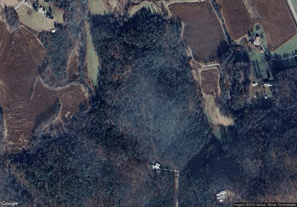
Map
Nearby Homes
- 127 Berry Reister Rd
- Tract II Schuler Rd
- Tract 1 Fain Branch Rd
- Tract 3 Fain Branch Rd
- Tract 2 Fain Branch Rd
- Tract 4 Fain Branch Rd
- 11 Gladson Ln
- 209 Grace Mountain Rd
- 55 Misty Mountain Ln
- 206 Gladson Ln
- 13 Chestoe Valley Cir
- 13 Choestoe Valley Cir
- 185 Choestoe Valley Cir
- 729 Collins Rd
- 65 Choestoe Valley Cir
- 201 Choestoe Valley Cir
- 144 Big Sky Rd
- 88 Choestoe Valley Cir
- 102 Choestoe Valley Cir
- 326 Choestoe Valley Cir Unit L 37
- 49 Escape Place
- 49 Escape Place Unit TRACT 3
- 294 Seabolt Rd
- 563 Seabolt Rd
- 188 Seabolt Rd
- 0 Maple Ln Unit 8424447
- 0 Maple Ln
- 12.7 Seabolt Rd Unit 1-7
- 12.7 Seabolt Rd
- Tr1&2 Seabolt Rd
- 133 Creek Side Ln
- 7.5AC Creek Side Ln
- 89 Creek Side Ln
- 48 Collins Nursery Ln
- 195 Collins Nursery Ln
- 642 Seabolt Rd
- 642 Seabolt Rd
- 48 Creek View Ln Unit H3
- 225 Maver Nix Dr
- 225 Maver Nix Rd