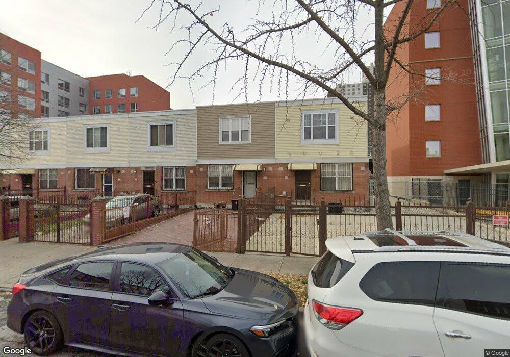
426 Snediker Ave Brooklyn, NY 11207
Brownsville NeighborhoodEstimated Value: $580,964 - $701,000
--
Bed
--
Bath
1,332
Sq Ft
$490/Sq Ft
Est. Value
About This Home
This home is located at 426 Snediker Ave, Brooklyn, NY 11207 and is currently estimated at $652,491, approximately $489 per square foot. 426 Snediker Ave is a home located in Kings County with nearby schools including Brooklyn Gardens Elementary School, J.H.S 292 Margaret S. Douglas, and Achievement First - East New York School.
Ownership History
Date
Name
Owned For
Owner Type
Purchase Details
Closed on
Sep 10, 2013
Sold by
Lowe Alfred
Bought by
Alfred R Lowe As Trustee and Alfred R Lowe Living Trust
Current Estimated Value
Purchase Details
Closed on
Nov 23, 2009
Sold by
Green Sanora M
Bought by
Lowe Alfred
Home Financials for this Owner
Home Financials are based on the most recent Mortgage that was taken out on this home.
Original Mortgage
$258,500
Interest Rate
4.92%
Mortgage Type
VA
Create a Home Valuation Report for This Property
The Home Valuation Report is an in-depth analysis detailing your home's value as well as a comparison with similar homes in the area
Home Values in the Area
Average Home Value in this Area
Purchase History
| Date | Buyer | Sale Price | Title Company |
|---|---|---|---|
| Alfred R Lowe As Trustee | -- | -- | |
| Lowe Alfred | $322,500 | -- |
Source: Public Records
Mortgage History
| Date | Status | Borrower | Loan Amount |
|---|---|---|---|
| Previous Owner | Lowe Alfred | $258,500 |
Source: Public Records
Tax History Compared to Growth
Tax History
| Year | Tax Paid | Tax Assessment Tax Assessment Total Assessment is a certain percentage of the fair market value that is determined by local assessors to be the total taxable value of land and additions on the property. | Land | Improvement |
|---|---|---|---|---|
| 2025 | $2,003 | $34,560 | $13,740 | $20,820 |
| 2024 | $2,003 | $39,780 | $13,740 | $26,040 |
| 2023 | $1,931 | $39,120 | $13,740 | $25,380 |
| 2022 | $1,785 | $32,040 | $13,740 | $18,300 |
| 2021 | $1,708 | $31,440 | $13,740 | $17,700 |
| 2020 | $828 | $24,960 | $13,740 | $11,220 |
| 2019 | $1,523 | $24,960 | $13,740 | $11,220 |
| 2018 | $1,392 | $20,139 | $12,397 | $7,742 |
| 2017 | $2,418 | $19,461 | $6,935 | $12,526 |
| 2016 | $1,928 | $18,360 | $5,834 | $12,526 |
| 2015 | $1,046 | $18,109 | $5,583 | $12,526 |
| 2014 | $1,046 | $17,280 | $4,754 | $12,526 |
Source: Public Records
Map
Nearby Homes
- 406 Hinsdale St
- 440 Blake Ave
- 297 Hinsdale St
- 533 Snediker Ave
- 541 Hinsdale St
- 576 Williams Ave
- 578 Williams Ave
- 637 Blake Ave
- 582 Williams Ave
- 442 Newport St
- 546 Powell St
- 584 Hinsdale St
- 606 Alabama Ave
- 353 Pennsylvania Ave
- 610 Alabama Ave
- 444 New Jersey Ave
- 563 Powell St
- 589 Hinsdale St
- 699 Sackman St
- 486 Vermont St
- 428 Snediker Ave
- 430 Snediker Ave
- 434 Snediker Ave
- 436 Snediker Ave
- 438 Snediker Ave
- 457 van Sinderen Ave
- 477 Livonia Ave
- 469 Livonia Ave
- 479 Livonia Ave
- 465 Livonia Ave
- 467 Livonia Ave
- 463 Livonia Ave
- 461 Livonia Ave
- 425 Snediker Ave
- 423 Snediker Ave
- 427 Snediker Ave
- 421 Snediker Ave
- 429 Snediker Ave
- 419 Snediker Ave
- 431 Snediker Ave