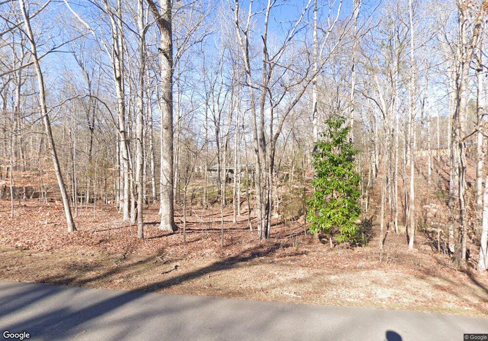
426 Valley Rd Sanford, NC 27330
Estimated Value: $484,000 - $568,000
3
Beds
4
Baths
2,846
Sq Ft
$183/Sq Ft
Est. Value
About This Home
This home is located at 426 Valley Rd, Sanford, NC 27330 and is currently estimated at $521,058, approximately $183 per square foot. 426 Valley Rd is a home located in Lee County with nearby schools including Benjamin T. Bullock Elementary School, West Lee Middle School, and Lee County High School.
Ownership History
Date
Name
Owned For
Owner Type
Purchase Details
Closed on
Apr 14, 2005
Sold by
Mackey Maria A
Bought by
Freeman William M and Freeman Deborah Anne
Current Estimated Value
Home Financials for this Owner
Home Financials are based on the most recent Mortgage that was taken out on this home.
Original Mortgage
$155,375
Outstanding Balance
$81,219
Interest Rate
5.98%
Mortgage Type
New Conventional
Estimated Equity
$439,839
Purchase Details
Closed on
Apr 14, 2000
Sold by
Mackey Maria A and Mackey Tr
Bought by
Mackey Maria A
Create a Home Valuation Report for This Property
The Home Valuation Report is an in-depth analysis detailing your home's value as well as a comparison with similar homes in the area
Home Values in the Area
Average Home Value in this Area
Purchase History
| Date | Buyer | Sale Price | Title Company |
|---|---|---|---|
| Freeman William M | $242,500 | None Available | |
| Mackey Maria A | -- | -- |
Source: Public Records
Mortgage History
| Date | Status | Borrower | Loan Amount |
|---|---|---|---|
| Open | Freeman William M | $155,375 |
Source: Public Records
Tax History Compared to Growth
Tax History
| Year | Tax Paid | Tax Assessment Tax Assessment Total Assessment is a certain percentage of the fair market value that is determined by local assessors to be the total taxable value of land and additions on the property. | Land | Improvement |
|---|---|---|---|---|
| 2025 | $5,308 | $418,400 | $64,100 | $354,300 |
| 2024 | $5,308 | $418,400 | $64,100 | $354,300 |
| 2023 | $5,298 | $418,400 | $64,100 | $354,300 |
| 2022 | $3,842 | $260,900 | $75,600 | $185,300 |
| 2021 | $3,910 | $260,900 | $75,600 | $185,300 |
| 2020 | $3,897 | $260,900 | $75,600 | $185,300 |
| 2019 | $3,857 | $260,900 | $75,600 | $185,300 |
| 2018 | $4,119 | $275,200 | $100,800 | $174,400 |
| 2017 | $4,064 | $275,200 | $100,800 | $174,400 |
| 2016 | $4,039 | $275,200 | $100,800 | $174,400 |
| 2014 | $3,833 | $275,200 | $100,800 | $174,400 |
Source: Public Records
Map
Nearby Homes
- 1121 Revenell Dr
- 0 Dumbarton Dr
- 2716 Heather Dr
- 1001 Bent Pine Cir
- 912 Botany Woods Dr
- 2007 Windmill Dr
- 1705 Lord Ashley Dr
- 1711 Boone Trail Rd
- 110 Streamside Dr
- 162 Hickory Grove Dr
- 0 Boone Cir Unit 10102332
- 503 Boulderbrook Pkwy
- 202 Streamside Dr
- 127 Hanover Dr
- 602 Canterbury Rd
- 2405 Wintergreen Rd
- Hamilton Plan at Hickory Grove
- Wayland Plan at Hickory Grove
- Andrews Plan at Hickory Grove
- Sheridan Plan at Hickory Grove
- 420 Valley Rd
- 0 Valley Dr
- 1144 Revenel Dr
- 2420 Lakeland Dr
- 2419 Lakeland Dr
- 504 Valley Rd
- 423 Valley Rd
- 505 Valley Dr
- 505 Valley Rd
- 1145 Revenel Dr
- 1141 Revenel Dr
- 1133 Revenel Dr
- 1129 Revenell Dr
- 1129 Revenelle Dr
- 1129 Revenel Dr
- 2413 Lakeland Dr
- 509 Valley Rd
- 412 Valley Rd
- 411 Valley Rd
- 1228 Radcliff Dr
