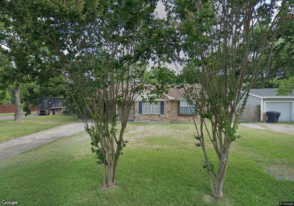
426 W Troy Rd Houston, TX 77091
Northside-Northline NeighborhoodEstimated Value: $181,961 - $243,000
3
Beds
1
Bath
1,144
Sq Ft
$180/Sq Ft
Est. Value
About This Home
This home is located at 426 W Troy Rd, Houston, TX 77091 and is currently estimated at $205,990, approximately $180 per square foot. 426 W Troy Rd is a home located in Harris County with nearby schools including Wesley Elementary School, Williams Middle, and Booker T Washington Sr High.
Ownership History
Date
Name
Owned For
Owner Type
Purchase Details
Closed on
Sep 30, 1994
Sold by
Va
Bought by
Hess Sherry M
Current Estimated Value
Home Financials for this Owner
Home Financials are based on the most recent Mortgage that was taken out on this home.
Original Mortgage
$42,551
Interest Rate
8.5%
Mortgage Type
Seller Take Back
Purchase Details
Closed on
Sep 7, 1993
Sold by
Shaw Jo E
Bought by
Nationsbanc Mtg Company
Create a Home Valuation Report for This Property
The Home Valuation Report is an in-depth analysis detailing your home's value as well as a comparison with similar homes in the area
Home Values in the Area
Average Home Value in this Area
Purchase History
| Date | Buyer | Sale Price | Title Company |
|---|---|---|---|
| Hess Sherry M | -- | -- | |
| Nationsbanc Mtg Company | -- | -- |
Source: Public Records
Mortgage History
| Date | Status | Borrower | Loan Amount |
|---|---|---|---|
| Closed | Hess Sherry M | $42,551 |
Source: Public Records
Tax History Compared to Growth
Tax History
| Year | Tax Paid | Tax Assessment Tax Assessment Total Assessment is a certain percentage of the fair market value that is determined by local assessors to be the total taxable value of land and additions on the property. | Land | Improvement |
|---|---|---|---|---|
| 2025 | $1,659 | $189,376 | $79,720 | $109,656 |
| 2024 | $1,659 | $189,376 | $79,720 | $109,656 |
| 2023 | $1,659 | $178,090 | $79,720 | $98,370 |
| 2022 | $2,743 | $131,668 | $55,804 | $75,864 |
| 2021 | $2,640 | $128,669 | $55,804 | $72,865 |
| 2020 | $2,493 | $120,975 | $55,804 | $65,171 |
| 2019 | $2,368 | $108,289 | $39,860 | $68,429 |
| 2018 | $1,429 | $88,379 | $23,916 | $64,463 |
| 2017 | $1,956 | $77,354 | $23,916 | $53,438 |
| 2016 | $1,956 | $77,354 | $23,916 | $53,438 |
| 2015 | $1,420 | $77,354 | $23,916 | $53,438 |
| 2014 | $1,420 | $77,354 | $23,916 | $53,438 |
Source: Public Records
Map
Nearby Homes
- 434 Yale Oaks Ln
- 422 Yale Oaks Ln
- 6057 Yale St
- 410 Yale Oaks Ln
- 427 Yale Oaks Ln
- 334 Yale Oaks Ln
- 422 Surratt Dr
- 327 Yale Oaks Ln
- 406 Red Ripple Rd
- 6100 Stuebner Airline Rd
- 522 Surratt Dr
- 0 Pickering St
- 201 W Rosamond St Unit 41
- 201 W Rosamond St Unit 53
- 201 W Rosamond St Unit 61
- 609 W Parker Rd
- 615 Northew St Unit J
- 615 Northew St Unit K
- 304 W Hamilton Lot B St
- 304 W St