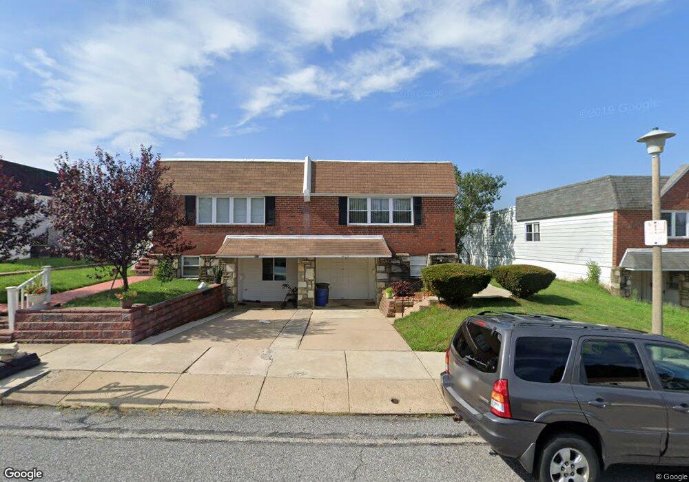
426 Waring St Philadelphia, PA 19116
Somerton NeighborhoodEstimated Value: $372,000 - $391,000
--
Bed
--
Bath
1,200
Sq Ft
$316/Sq Ft
Est. Value
About This Home
This home is located at 426 Waring St, Philadelphia, PA 19116 and is currently estimated at $379,229, approximately $316 per square foot. 426 Waring St is a home located in Philadelphia County with nearby schools including Watson Comly School, CCA Baldi Middle School, and George Washington High School.
Ownership History
Date
Name
Owned For
Owner Type
Purchase Details
Closed on
Jul 9, 2002
Sold by
Sansone Sansone Stefano Stefano and Sansone Pimee Stefano
Bought by
Ali Abdul K and Khader Majdoulin
Current Estimated Value
Home Financials for this Owner
Home Financials are based on the most recent Mortgage that was taken out on this home.
Original Mortgage
$120,600
Interest Rate
6.3%
Mortgage Type
Purchase Money Mortgage
Purchase Details
Closed on
Aug 13, 2001
Sold by
Sansone Stefano
Bought by
Sansone Stefano and Sansone Aimee Lynn
Purchase Details
Closed on
Oct 14, 2000
Sold by
Brand Murray and Rose Alison
Bought by
Sansone Stefano
Home Financials for this Owner
Home Financials are based on the most recent Mortgage that was taken out on this home.
Original Mortgage
$103,050
Interest Rate
7.78%
Purchase Details
Closed on
Jul 2, 1997
Sold by
Brand Rosalie
Bought by
Brand Murray and Rose Alison
Create a Home Valuation Report for This Property
The Home Valuation Report is an in-depth analysis detailing your home's value as well as a comparison with similar homes in the area
Home Values in the Area
Average Home Value in this Area
Purchase History
| Date | Buyer | Sale Price | Title Company |
|---|---|---|---|
| Ali Abdul K | $134,000 | -- | |
| Sansone Stefano | -- | -- | |
| Sansone Stefano | $108,500 | -- | |
| Brand Murray | -- | -- |
Source: Public Records
Mortgage History
| Date | Status | Borrower | Loan Amount |
|---|---|---|---|
| Previous Owner | Ali Abdul K | $120,600 | |
| Previous Owner | Sansone Stefano | $103,050 |
Source: Public Records
Tax History Compared to Growth
Tax History
| Year | Tax Paid | Tax Assessment Tax Assessment Total Assessment is a certain percentage of the fair market value that is determined by local assessors to be the total taxable value of land and additions on the property. | Land | Improvement |
|---|---|---|---|---|
| 2025 | $3,730 | $339,500 | $67,900 | $271,600 |
| 2024 | $3,730 | $339,500 | $67,900 | $271,600 |
| 2023 | $3,730 | $266,500 | $53,300 | $213,200 |
| 2022 | $2,361 | $221,500 | $53,300 | $168,200 |
| 2021 | $2,991 | $0 | $0 | $0 |
| 2020 | $2,991 | $0 | $0 | $0 |
| 2019 | $2,816 | $0 | $0 | $0 |
| 2018 | $2,325 | $0 | $0 | $0 |
| 2017 | $2,745 | $0 | $0 | $0 |
| 2016 | $2,325 | $0 | $0 | $0 |
| 2015 | $2,226 | $0 | $0 | $0 |
| 2014 | -- | $196,100 | $83,220 | $112,880 |
| 2012 | -- | $26,144 | $2,813 | $23,331 |
Source: Public Records
Map
Nearby Homes
- 11715 Jeanes St
- 11722 Audubon Ave
- 11243 Jeanes Place
- 11992 Lockart Rd
- 509 Larkspur St
- 166 Rennard St
- 370 Selma St
- 11022 Ferndale St
- 11169 Hendrix St
- 300 Byberry Rd Unit 303
- 290 Byberry Rd Unit 2
- 290 Byberry Rd Unit 18
- 11012 Audubon Ave
- 133 Gardner St
- 11990 Rennard St
- 301 Byberry Rd Unit F7
- 301 Byberry Rd Unit H10
- 301 00 Byberry Rd Unit C7
- 807 Larkspur St
- 375 Avon St