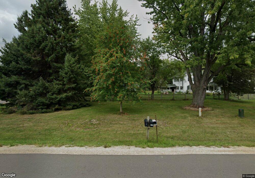
4260 Rutland Dunn Townline Rd Oregon, WI 53575
Estimated Value: $578,000 - $815,000
--
Bed
--
Bath
--
Sq Ft
4.15
Acres
About This Home
This home is located at 4260 Rutland Dunn Townline Rd, Oregon, WI 53575 and is currently estimated at $696,478. 4260 Rutland Dunn Townline Rd is a home located in Dane County with nearby schools including Oregon Middle School, Rome Corners Intermediate School, and Oregon High School.
Ownership History
Date
Name
Owned For
Owner Type
Purchase Details
Closed on
Jul 30, 2012
Sold by
Horan Robert and Harms Katrina
Bought by
Jones Benjamin H
Current Estimated Value
Home Financials for this Owner
Home Financials are based on the most recent Mortgage that was taken out on this home.
Original Mortgage
$130,000
Outstanding Balance
$89,973
Interest Rate
3.65%
Mortgage Type
New Conventional
Estimated Equity
$606,505
Create a Home Valuation Report for This Property
The Home Valuation Report is an in-depth analysis detailing your home's value as well as a comparison with similar homes in the area
Home Values in the Area
Average Home Value in this Area
Purchase History
| Date | Buyer | Sale Price | Title Company |
|---|---|---|---|
| Jones Benjamin H | $260,000 | None Available |
Source: Public Records
Mortgage History
| Date | Status | Borrower | Loan Amount |
|---|---|---|---|
| Open | Jones Benjamin H | $130,000 |
Source: Public Records
Tax History Compared to Growth
Tax History
| Year | Tax Paid | Tax Assessment Tax Assessment Total Assessment is a certain percentage of the fair market value that is determined by local assessors to be the total taxable value of land and additions on the property. | Land | Improvement |
|---|---|---|---|---|
| 2024 | $6,651 | $393,000 | $172,200 | $220,800 |
| 2023 | $6,481 | $393,000 | $172,200 | $220,800 |
| 2021 | $5,379 | $393,000 | $172,200 | $220,800 |
| 2020 | $5,112 | $257,100 | $116,800 | $140,300 |
| 2019 | $4,993 | $257,100 | $116,800 | $140,300 |
| 2018 | $4,697 | $257,100 | $116,800 | $140,300 |
| 2017 | $4,744 | $257,100 | $116,800 | $140,300 |
| 2016 | $4,822 | $257,100 | $116,800 | $140,300 |
| 2015 | $4,708 | $257,100 | $116,800 | $140,300 |
| 2014 | $4,524 | $257,100 | $116,800 | $140,300 |
| 2013 | $4,901 | $257,100 | $116,800 | $140,300 |
Source: Public Records
Map
Nearby Homes
- 718 Dunn Ave
- 850 N Perry Pkwy
- 110 Saratoga Cir
- 562 Lexington Dr Unit 20
- 1085 Tundra Ave
- 1077 Tundra Ave
- 1082 Tundra Ave
- 1090 Tundra Ave
- 1087 Tundra Ave
- 1094 Tundra Ave
- 574 Campo Ln
- 402 Concord Dr
- 500 Stoddard Dr
- 468 Stoddard Dr
- 574 Stoddard Dr
- The Costello Plan at Greenview Preserve
- The Emerson (Twin Home) Plan at Greenview Preserve
- The Gramercy Plan at Greenview Preserve
- The Everest Plan at Greenview Preserve
- The Tribeca Plan at Greenview Preserve
- 4260 Rutland-Dunn Town Line Rd
- 4271 Rutland-Dunn Town Line Rd
- 4271 Rutland Dunn Townline Rd
- 0 Rutland-Dunn Town Line Rd Unit 1570690
- 4238 Rutland Dunn Townline Rd
- 4285 Rutland-Dunn Town Line Rd
- 4285 Rutland Dunn Townline Rd
- 1545 Sunrise Rd
- 4302 Rutland Dunn Townline Rd
- 4302 Rutland Dunn Town Line Rd
- 4309 Rutland Dunn Townline Rd
- 4265 Rutland Dunn Townline Rd
- 4314 Rutland Dunn Townline Rd
- 1651 Hook Island Rd
- 4269 Rutland Dunn Townline Rd
- 1651 Hook Island Rd
- 1657 Hook Island Rd
- 1657 Hook Island Rd
- 1665-1667 Hook Island Rd
- 1665 Hook Island Rd