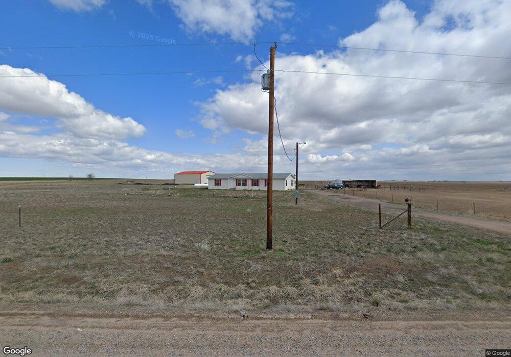
42605 E 112th Ave Bennett, CO 80102
Estimated Value: $610,000 - $696,000
3
Beds
2
Baths
1,701
Sq Ft
$392/Sq Ft
Est. Value
About This Home
This home is located at 42605 E 112th Ave, Bennett, CO 80102 and is currently estimated at $666,333, approximately $391 per square foot. 42605 E 112th Ave is a home located in Adams County with nearby schools including Bennett Elementary School, Bennett Middle School, and Bennett High School.
Ownership History
Date
Name
Owned For
Owner Type
Purchase Details
Closed on
Oct 4, 2006
Sold by
Fromm Robyn A
Bought by
Rose Johnathan and Myers Dawn
Current Estimated Value
Home Financials for this Owner
Home Financials are based on the most recent Mortgage that was taken out on this home.
Original Mortgage
$239,245
Outstanding Balance
$139,631
Interest Rate
6.44%
Mortgage Type
FHA
Estimated Equity
$526,702
Purchase Details
Closed on
Aug 17, 2004
Sold by
Basarich Beverly J and Basarich Thomas
Bought by
Fromm Robyn A
Home Financials for this Owner
Home Financials are based on the most recent Mortgage that was taken out on this home.
Original Mortgage
$204,000
Interest Rate
5.86%
Mortgage Type
Purchase Money Mortgage
Create a Home Valuation Report for This Property
The Home Valuation Report is an in-depth analysis detailing your home's value as well as a comparison with similar homes in the area
Purchase History
| Date | Buyer | Sale Price | Title Company |
|---|---|---|---|
| Rose Johnathan | $243,000 | Land Title | |
| Fromm Robyn A | -- | -- |
Source: Public Records
Mortgage History
| Date | Status | Borrower | Loan Amount |
|---|---|---|---|
| Open | Rose Johnathan | $239,245 | |
| Previous Owner | Fromm Robyn A | $204,000 | |
| Closed | Fromm Robyn A | $24,000 |
Source: Public Records
Tax History
| Year | Tax Paid | Tax Assessment Tax Assessment Total Assessment is a certain percentage of the fair market value that is determined by local assessors to be the total taxable value of land and additions on the property. | Land | Improvement |
|---|---|---|---|---|
| 2025 | $2,885 | $42,580 | $10,270 | $32,310 |
| 2024 | $2,885 | $39,130 | $9,440 | $29,690 |
| 2023 | $2,906 | $42,630 | $5,290 | $37,340 |
| 2022 | $2,104 | $28,000 | $5,430 | $22,570 |
| 2021 | $2,146 | $28,000 | $5,430 | $22,570 |
| 2020 | $2,151 | $29,370 | $5,590 | $23,780 |
| 2019 | $2,217 | $29,370 | $5,590 | $23,780 |
| 2018 | $1,605 | $19,080 | $5,630 | $13,450 |
| 2017 | $1,619 | $19,080 | $5,630 | $13,450 |
| 2016 | $1,319 | $16,170 | $6,080 | $10,090 |
| 2015 | $1,311 | $16,170 | $6,080 | $10,090 |
| 2014 | -- | $15,330 | $6,080 | $9,250 |
Source: Public Records
Map
Nearby Homes
- 10660 Schumaker Rd
- Tbd Schumaker Rd
- 50700 E 104th Ave
- 50900 E 104th Ave
- 50800 E 104th Ave
- 51000 E 104th Ave
- 1 Vacant Land Penrith
- 1 Lots 1-6 Vacant Land Penrith
- 0 Tbd E 112th Ave Unit REC1788626
- 47081 E 106th Ave
- 43201 E 88th Ave
- Tbd E 136th Ave
- 44000 E 88th Ave
- 0 E 136th Ave & N Schumaker Rd
- TBD E 136th Ave
- 40201 E 136th Ave
- 0 Vacant Land Parcel 2 Unit REC5959024
- 40500 E 144th Ave
- 0 Lot 6 144th Ave Unit IRE1051738
- 11300 Penrith Rd
- 42100 E 112th Ave
- 41800 E 112th Ave
- 42701 E 112th Ave
- 11100 Schumaker Rd
- 11100 Schumaker Rd
- 11101 Schumaker Rd
- 43003 E 112th Ave
- 43100 E 112th Ave
- 43201 E 112th Ave
- 10905 N Schumaker Rd
- 43400 E 112th Ave
- 11401 Greenview St
- 43700 E 112th Ave
- 11505 Greenview St
- 10707 Schumaker Rd
- 10771 Tumbull Weed Ct
- 10771 Tumbull Weed Ct
- 10700 Tumbull Weed Ct
- 11655 Greenview St
- 10661 Tumbull Weed Ct
Your Personal Tour Guide
Ask me questions while you tour the home.