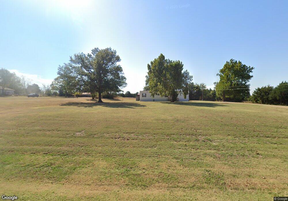
42607 Benson Park Rd Shawnee, OK 74801
Estimated Value: $125,465 - $222,000
--
Bed
--
Bath
--
Sq Ft
2.46
Acres
About This Home
This home is located at 42607 Benson Park Rd, Shawnee, OK 74801 and is currently estimated at $173,733. 42607 Benson Park Rd is a home located in Pottawatomie County with nearby schools including South Rock Creek Public School.
Ownership History
Date
Name
Owned For
Owner Type
Purchase Details
Closed on
Jan 13, 2025
Sold by
Citizen Potawatomi Nation
Bought by
United States Of America and Citizen Potawatomi Nation Oklahoma
Current Estimated Value
Purchase Details
Closed on
Feb 14, 2013
Sold by
Citizens Potawatomi Nation Housing Autho
Bought by
Citizens Potawatomi Nation
Purchase Details
Closed on
May 22, 2012
Sold by
Citizen Potawatomi Nation Housing Author
Bought by
Citizen Potawatomi Nation
Purchase Details
Closed on
Jan 31, 2012
Sold by
Whiteman David R and Whiteman Mary K
Bought by
Citizen Potawatomi Nation Housing Author
Purchase Details
Closed on
Mar 1, 2004
Sold by
Gilbert Ronald B
Bought by
Scott David
Create a Home Valuation Report for This Property
The Home Valuation Report is an in-depth analysis detailing your home's value as well as a comparison with similar homes in the area
Home Values in the Area
Average Home Value in this Area
Purchase History
| Date | Buyer | Sale Price | Title Company |
|---|---|---|---|
| United States Of America | -- | None Listed On Document | |
| Citizens Potawatomi Nation | -- | None Available | |
| Citizen Potawatomi Nation | -- | None Available | |
| Citizen Potawatomi Nation Housing Author | $57,000 | None Available | |
| Scott David | $27,500 | -- |
Source: Public Records
Tax History Compared to Growth
Tax History
| Year | Tax Paid | Tax Assessment Tax Assessment Total Assessment is a certain percentage of the fair market value that is determined by local assessors to be the total taxable value of land and additions on the property. | Land | Improvement |
|---|---|---|---|---|
| 2025 | $599 | $2,426 | $923 | $1,503 |
| 2024 | $702 | $7,596 | $6,240 | $1,356 |
| 2023 | $702 | $7,596 | $6,240 | $1,356 |
| 2022 | $695 | $7,596 | $6,240 | $1,356 |
| 2021 | $596 | $7,596 | $6,240 | $1,356 |
| 2020 | $703 | $7,200 | $6,240 | $960 |
| 2019 | $704 | $7,200 | $6,240 | $960 |
| 2018 | $720 | $7,200 | $6,240 | $960 |
| 2017 | $716 | $7,200 | $6,240 | $960 |
| 2016 | $669 | $7,164 | $6,240 | $924 |
| 2015 | $687 | $7,164 | $6,240 | $924 |
| 2014 | $687 | $7,164 | $6,240 | $924 |
Source: Public Records
Map
Nearby Homes
- 00 Benson Park Rd
- 42601 Stout Dr
- 19708 Persimmon Ln
- 19705 Harrison Rd
- 42608 Bob Crouch Rd
- 00 Charleston Pointe
- 18509 Brangus Rd
- 19901 Prairieview Rd
- 19903 Prairieview Rd
- 000 Gordon Cooper Dr
- 19402 Rangeline Rd
- 1100 Foggy Bottom Rd
- 44303 Hardesty Rd
- 19910 Gordon Cooper Dr
- 43252 Highway 9
- 00 Hardesty Rd 15 Acres
- 44508 Kingsbury Ln
- 44630 Kingsbury
- 803 N Sharon St
- 1011 N Rangeline St
- 42701 Benson Park Rd
- 19133 Thunder Rd
- 19209 Thunder Rd
- 29648 Thunder Rd
- 42427 Benson Park Rd
- 42902 Benson Park Rd
- 42402 Benson Park Rd
- 42400 Benson Park Rd
- 19401 Thunder Rd
- 43006 Benson Park Rd
- 19030 Hunters Hill Rd
- 19084 Hunters Hill Rd
- 19010 Hunters Hill Rd
- 43842 Hunters Hill Dr
- 19060 Hunters Hill Rd
- 43823 Hunters Hill Dr
- 43891 Hunters Hill Dr
- 43855 Hunters Hill Dr
- 43823 Hunters Hill Dr
- 43855 Hunters Hill Dr