4261 Lone Star Rd Freeburg, IL 62243
Estimated Value: $132,000 - $260,000
3
Beds
1
Bath
1,670
Sq Ft
$116/Sq Ft
Est. Value
About This Home
This home is located at 4261 Lone Star Rd, Freeburg, IL 62243 and is currently estimated at $193,345, approximately $115 per square foot. 4261 Lone Star Rd is a home located in St. Clair County with nearby schools including Freeburg Elementary School and Freeburg Community High School.
Ownership History
Date
Name
Owned For
Owner Type
Purchase Details
Closed on
Feb 22, 2024
Sold by
Wise Donna and Harms Donna
Bought by
Harms John and Harms Donna
Current Estimated Value
Purchase Details
Closed on
Dec 15, 2011
Sold by
Damewood Kenneth W and Damewood Helen L
Bought by
Wise Donna
Home Financials for this Owner
Home Financials are based on the most recent Mortgage that was taken out on this home.
Original Mortgage
$89,179
Interest Rate
4.02%
Mortgage Type
FHA
Purchase Details
Closed on
Sep 26, 2001
Sold by
Damewood Barbara S
Bought by
Damewood Kenneth W and Muller Helen L
Create a Home Valuation Report for This Property
The Home Valuation Report is an in-depth analysis detailing your home's value as well as a comparison with similar homes in the area
Home Values in the Area
Average Home Value in this Area
Purchase History
| Date | Buyer | Sale Price | Title Company |
|---|---|---|---|
| Harms John | -- | None Available | |
| Wise Donna | $91,500 | Advanced Title Solutions Inc | |
| Damewood Kenneth W | -- | -- |
Source: Public Records
Mortgage History
| Date | Status | Borrower | Loan Amount |
|---|---|---|---|
| Previous Owner | Wise Donna | $89,179 |
Source: Public Records
Tax History Compared to Growth
Tax History
| Year | Tax Paid | Tax Assessment Tax Assessment Total Assessment is a certain percentage of the fair market value that is determined by local assessors to be the total taxable value of land and additions on the property. | Land | Improvement |
|---|---|---|---|---|
| 2024 | $2,378 | $36,609 | $4,851 | $31,758 |
| 2023 | $2,085 | $32,425 | $3,627 | $28,798 |
| 2022 | $1,913 | $29,603 | $3,311 | $26,292 |
| 2021 | $1,828 | $28,084 | $3,141 | $24,943 |
| 2020 | $1,810 | $29,138 | $3,259 | $25,879 |
| 2019 | $1,914 | $29,075 | $3,109 | $25,966 |
| 2018 | $1,965 | $29,913 | $3,199 | $26,714 |
| 2017 | $1,896 | $29,191 | $3,122 | $26,069 |
| 2016 | $1,875 | $29,253 | $3,129 | $26,124 |
| 2014 | $1,918 | $31,990 | $3,298 | $28,692 |
| 2013 | $1,618 | $33,292 | $3,432 | $29,860 |
Source: Public Records
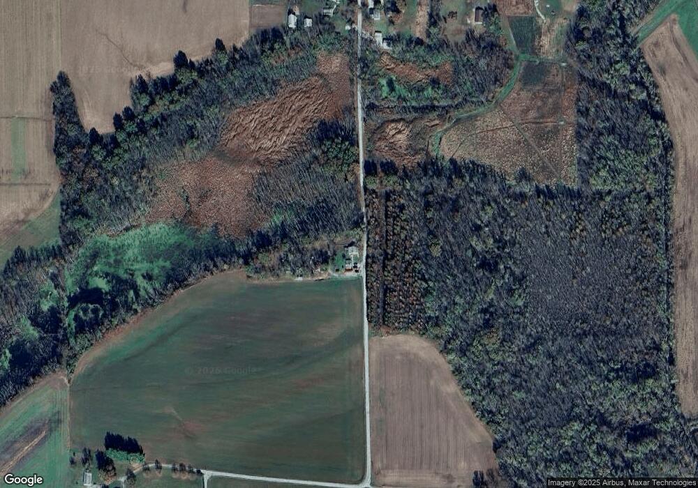
Map
Nearby Homes
- 0 Five Forks Rd
- 2309 S 6th St
- 2109 S 3rd St
- 2221 Pulliam Ave
- 2201 Illinois Ave
- 2304 N 1st St
- tbb Illinois 15
- 5276 State Route 4
- 213 N Van Buren St
- 105 N Market St
- 109 Willow Dr
- 111 Willow Dr
- 0 Hickory Dr
- 103 Draco Dr
- 402 S East St
- 501 S Clinton St
- 2812 Scenic Lake Dr
- 3 Park St
- 2805 Scenic Lake Dr
- 1116 Priscilla Ct
- 4364 Lone Star Rd
- 4200 Lone Star Rd
- 4359 Lone Star Rd
- 4165 Lone Star Rd
- 0 5 Forks Rd
- 4372 Lone Star Rd
- 4411 Lone Star Rd
- 9312 5 Forks Rd
- 4584 Lone Star Rd
- 9110 5 Forks Rd
- 4550 Lone Star Rd
- 9101 5 Forks Rd
- 9500 5 Forks Rd
- 8900 5 Forks Rd
- 5 Forks Rd
- 4561 Lone Star Rd
- 9512 5 Forks Rd
- 4919 State Route 15
- 5005 State Route 15
- 4907 State Route 15