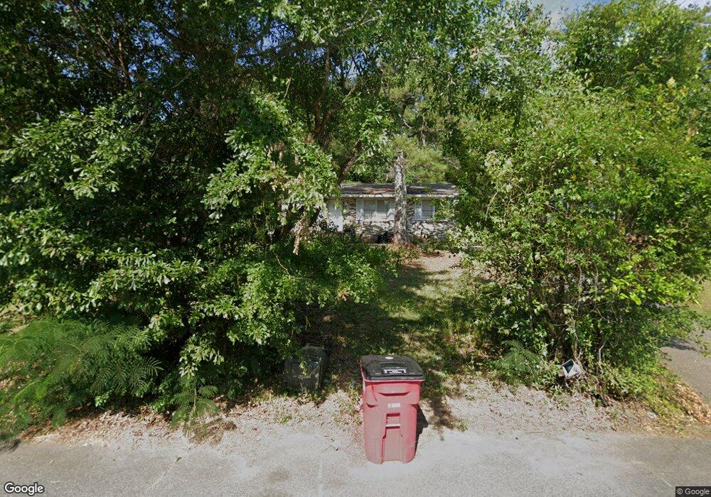
4261 Robinson Cir Macon, GA 31204
Estimated Value: $45,000 - $94,000
3
Beds
2
Baths
950
Sq Ft
$66/Sq Ft
Est. Value
About This Home
This home is located at 4261 Robinson Cir, Macon, GA 31204 and is currently estimated at $62,738, approximately $66 per square foot. 4261 Robinson Cir is a home located in Bibb County with nearby schools including Union Elementary School, Weaver Middle School, and Westside High School.
Ownership History
Date
Name
Owned For
Owner Type
Purchase Details
Closed on
Sep 2, 2008
Sold by
Hutcheson Donald Lyman and Hutcheson Gary Sheldon
Bought by
Ford Bernice
Current Estimated Value
Home Financials for this Owner
Home Financials are based on the most recent Mortgage that was taken out on this home.
Original Mortgage
$21,517
Interest Rate
6.49%
Mortgage Type
Purchase Money Mortgage
Purchase Details
Closed on
Aug 23, 2005
Bought by
Hutcheson Gary and Hutcheson Donald L
Create a Home Valuation Report for This Property
The Home Valuation Report is an in-depth analysis detailing your home's value as well as a comparison with similar homes in the area
Purchase History
| Date | Buyer | Sale Price | Title Company |
|---|---|---|---|
| Ford Bernice | $23,000 | None Available | |
| Hutcheson Gary | -- | -- |
Source: Public Records
Mortgage History
| Date | Status | Borrower | Loan Amount |
|---|---|---|---|
| Closed | Ford Bernice | $21,517 |
Source: Public Records
Tax History
| Year | Tax Paid | Tax Assessment Tax Assessment Total Assessment is a certain percentage of the fair market value that is determined by local assessors to be the total taxable value of land and additions on the property. | Land | Improvement |
|---|---|---|---|---|
| 2025 | $408 | $16,608 | $1,800 | $14,808 |
| 2024 | $422 | $16,608 | $1,800 | $14,808 |
| 2023 | $422 | $16,608 | $1,800 | $14,808 |
| 2022 | $647 | $18,698 | $4,917 | $13,781 |
| 2021 | $711 | $18,698 | $4,917 | $13,781 |
| 2020 | $726 | $18,698 | $4,917 | $13,781 |
| 2019 | $732 | $18,698 | $4,917 | $13,781 |
| 2018 | $1,301 | $18,698 | $4,917 | $13,781 |
| 2017 | $701 | $18,698 | $4,917 | $13,781 |
| 2016 | $647 | $18,698 | $4,917 | $13,781 |
| 2015 | $916 | $18,698 | $4,917 | $13,781 |
| 2014 | $1,053 | $18,698 | $4,917 | $13,781 |
Source: Public Records
Map
Nearby Homes
- 3454 Lawton Rd
- 3462 Lawton Rd
- 3470 Lawton Rd
- 3483 Lawton Rd
- 3890 Robinson Rd
- 4266 Mumford Rd
- 3581 Hollingsworth Rd
- 4360 Mumford Rd
- 3529 Thorpe St
- 3491 Bond St W
- 3765 Del Park
- 3778 Log Cabin Dr
- 3816 Log Cabin Dr
- 4450 Bluebird Terrace
- 1077 Pike St
- 3483 Napier Ave
- 3846 Log Cabin Dr
- 1171 Washington St
- 3457 Shenandoah Dr
- 115 Emily St
- 4255 Robinson Cir
- 4267 Robinson Cir
- 4249 Robinson Cir
- 3489 Hollingsworth Rd
- 3485 Hollingsworth Rd
- 3491 Hollingsworth Rd
- 4271 Robinson Cir
- 4236 Robinson Cir
- 4240 Robinson Cir
- 3527 Hollingsworth Rd
- 4232 Robinson Cir
- 4243 Robinson Cir
- 4275 Robinson Cir
- 4248 Robinson Cir
- 4379 Lexington Ave
- 3497 Hollingsworth Rd
- 4281 Robinson Ct
- 4252 Robinson Ct
- 3484 Hollingsworth Rd
- 4239 Robinson Cir
Your Personal Tour Guide
Ask me questions while you tour the home.