4262 Forest Ct Mussey, MI 48014
Mussey Township NeighborhoodEstimated Value: $399,000 - $416,000
--
Bed
2
Baths
2,472
Sq Ft
$165/Sq Ft
Est. Value
About This Home
This home is located at 4262 Forest Ct, Mussey, MI 48014 and is currently estimated at $407,500, approximately $164 per square foot. 4262 Forest Ct is a home located in St. Clair County with nearby schools including Capac Elementary School and Capac Jr./Sr. High School.
Ownership History
Date
Name
Owned For
Owner Type
Purchase Details
Closed on
Nov 2, 2007
Sold by
Fannie Mae
Bought by
Merlone Richard T
Current Estimated Value
Home Financials for this Owner
Home Financials are based on the most recent Mortgage that was taken out on this home.
Original Mortgage
$191,000
Outstanding Balance
$121,221
Interest Rate
6.44%
Mortgage Type
New Conventional
Estimated Equity
$286,279
Purchase Details
Closed on
Jul 12, 2007
Sold by
Mortgage Electronic Registration Systems
Bought by
Federal National Mortgage Association
Purchase Details
Closed on
Jul 5, 2007
Sold by
Thompson Brian D and Thompson Jennifer L
Bought by
Mortgage Electronic Registration Systems
Create a Home Valuation Report for This Property
The Home Valuation Report is an in-depth analysis detailing your home's value as well as a comparison with similar homes in the area
Home Values in the Area
Average Home Value in this Area
Purchase History
| Date | Buyer | Sale Price | Title Company |
|---|---|---|---|
| Merlone Richard T | $191,000 | None Available | |
| Federal National Mortgage Association | -- | None Available | |
| Mortgage Electronic Registration Systems | $251,580 | None Available |
Source: Public Records
Mortgage History
| Date | Status | Borrower | Loan Amount |
|---|---|---|---|
| Open | Merlone Richard T | $191,000 |
Source: Public Records
Tax History Compared to Growth
Tax History
| Year | Tax Paid | Tax Assessment Tax Assessment Total Assessment is a certain percentage of the fair market value that is determined by local assessors to be the total taxable value of land and additions on the property. | Land | Improvement |
|---|---|---|---|---|
| 2025 | $3,018 | $213,600 | $0 | $0 |
| 2024 | $1,237 | $202,200 | $0 | $0 |
| 2023 | $1,178 | $189,000 | $0 | $0 |
| 2022 | $1,122 | $160,300 | $0 | $0 |
| 2021 | $2,478 | $143,100 | $0 | $0 |
| 2020 | $2,478 | $142,400 | $142,400 | $0 |
| 2019 | $2,432 | $116,300 | $0 | $0 |
| 2018 | $2,405 | $109,700 | $0 | $0 |
| 2017 | $0 | $101,700 | $0 | $0 |
| 2016 | $0 | $101,700 | $0 | $0 |
| 2015 | -- | $94,300 | $94,300 | $0 |
| 2014 | -- | $86,100 | $86,100 | $0 |
| 2013 | -- | $84,200 | $0 | $0 |
Source: Public Records
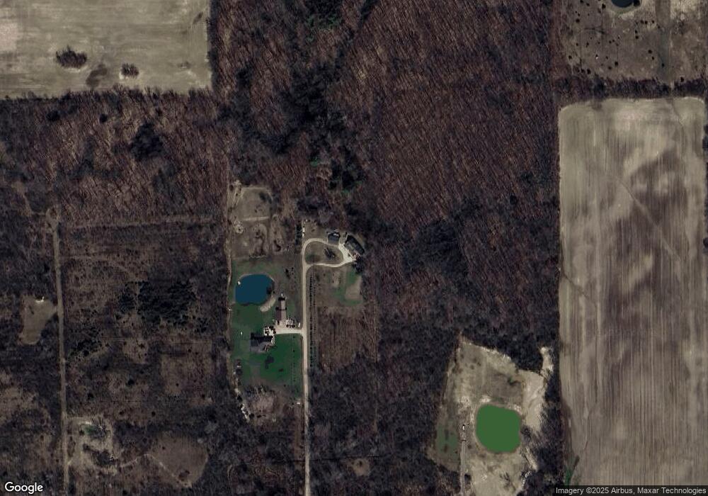
Map
Nearby Homes
- 4025 Barth Dr
- 0 Capac Rd Unit 216015459
- 0000 Hackman Rd
- 0 W Park (Lot 8) St Unit 50175949
- 39 W Deer Park S
- 530 N Glassford St
- 209 W Aldrich St
- 538 N Neeper St
- 0 Downey Vl Rd
- 401 E Mill St
- 3283 Capac Rd
- 15594 Bryce Rd
- 14650 Bryce Rd
- 0 Nettney Rd Unit 50185355
- V/L 19.01A Wade Rd
- 0 Wade Rd
- 15756 Lewis Rd
- V L 19 03 Wade Rd
- 00 Capac Rd
- PARCEL G Burt Rd
- 4141 Forest Ct
- 4059 Forest Ct
- 4030 Forest Ct
- 4029 Forest Ct
- 4265 Lone Oak Dr
- 4020 Forest Ct
- 4019 Forest Ct
- 0 Lone Oak Dr Unit 4217904
- 0 Lone Oak Dr Unit 31024075
- 0 Lone Oak Dr Unit G50008325
- 0 Lone Oak Dr Unit 50026092
- 0 Lone Oak Dr
- 4321 Lone Oak Dr
- 4321 Lone Oak Dr
- 15554 Bryce Rd
- 15430 Bryce Rd
- 15430 Bryce Rd
- 4264 Lone Oak Dr
- 4155 Barth Dr
- 15580 Bryce Rd