4263 Dialton Rd Saint Paris, OH 43072
Estimated Value: $302,000 - $333,000
3
Beds
4
Baths
1,976
Sq Ft
$162/Sq Ft
Est. Value
About This Home
This home is located at 4263 Dialton Rd, Saint Paris, OH 43072 and is currently estimated at $320,545, approximately $162 per square foot. 4263 Dialton Rd is a home located in Champaign County with nearby schools including Graham Elementary School, Graham Middle School, and Graham High School.
Ownership History
Date
Name
Owned For
Owner Type
Purchase Details
Closed on
Jun 29, 2004
Sold by
Howard Roderick Matthew
Bought by
Brannon James W and Brannon Penny A
Current Estimated Value
Home Financials for this Owner
Home Financials are based on the most recent Mortgage that was taken out on this home.
Original Mortgage
$145,532
Outstanding Balance
$73,418
Interest Rate
6.37%
Mortgage Type
VA
Estimated Equity
$247,127
Purchase Details
Closed on
Apr 6, 1995
Sold by
Snyder Ernest F
Bought by
Matthew H Roderick
Home Financials for this Owner
Home Financials are based on the most recent Mortgage that was taken out on this home.
Original Mortgage
$67,900
Interest Rate
8.79%
Mortgage Type
New Conventional
Create a Home Valuation Report for This Property
The Home Valuation Report is an in-depth analysis detailing your home's value as well as a comparison with similar homes in the area
Home Values in the Area
Average Home Value in this Area
Purchase History
| Date | Buyer | Sale Price | Title Company |
|---|---|---|---|
| Brannon James W | $142,400 | -- | |
| Matthew H Roderick | $84,900 | -- |
Source: Public Records
Mortgage History
| Date | Status | Borrower | Loan Amount |
|---|---|---|---|
| Open | Brannon James W | $145,532 | |
| Closed | Matthew H Roderick | $67,900 |
Source: Public Records
Tax History Compared to Growth
Tax History
| Year | Tax Paid | Tax Assessment Tax Assessment Total Assessment is a certain percentage of the fair market value that is determined by local assessors to be the total taxable value of land and additions on the property. | Land | Improvement |
|---|---|---|---|---|
| 2024 | $2,629 | $70,840 | $7,030 | $63,810 |
| 2023 | $2,629 | $70,840 | $7,030 | $63,810 |
| 2022 | $2,552 | $70,840 | $7,030 | $63,810 |
| 2021 | $2,230 | $58,790 | $5,620 | $53,170 |
| 2020 | $2,193 | $58,790 | $5,620 | $53,170 |
| 2019 | $2,186 | $58,790 | $5,620 | $53,170 |
| 2018 | $1,826 | $48,470 | $5,620 | $42,850 |
| 2017 | $1,811 | $48,470 | $5,620 | $42,850 |
| 2016 | $1,799 | $48,470 | $5,620 | $42,850 |
| 2015 | $1,774 | $46,550 | $5,620 | $40,930 |
| 2014 | $1,791 | $46,550 | $5,620 | $40,930 |
| 2013 | $1,784 | $46,550 | $5,620 | $40,930 |
Source: Public Records
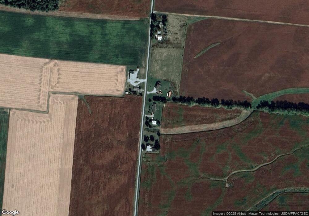
Map
Nearby Homes
- 6568 Dialton Rd
- 5886 State Route 55
- 0 Old Troy Pike Unit Lot 3 1030490
- 0 Old Troy Pike Unit Lot 3 919119
- 0 Old Troy Pike Unit Lot 3 224006744
- 5770 Storms Creek Rd
- 7981 Runkle Rd
- 6744 Runkle Rd
- 133 Dugan St
- 411 S Washington St Unit 1
- 411 S Washington St Unit 2
- 411 S Washington St Unit 4
- 411 S Washington St
- 411 S Washington St Unit 3
- 411 S Washington St Unit 5
- 211 N Grant St
- 6250 Willowdale Rd
- 4225 Dialton Rd
- 4321 Dialton Rd
- 4218 Dialton Rd
- 4095 Dialton Rd
- 3970 Dialton Rd
- 4567 Dialton Rd
- 3855 Dialton Rd
- 4772 Dialton Rd
- 9346 State Route 55
- 8949 State Route 55
- 9093 State Route 55
- 4845 Dialton Rd
- 8801 State Route 55
- 8801 Ohio 55
- 0 Ohio 55 Unit 16.996 acres
- 0 Ohio 55
- 8699 State Route 55
- 8641 Ohio 55
- 8641 State Route 55
- 3582 Dialton Rd