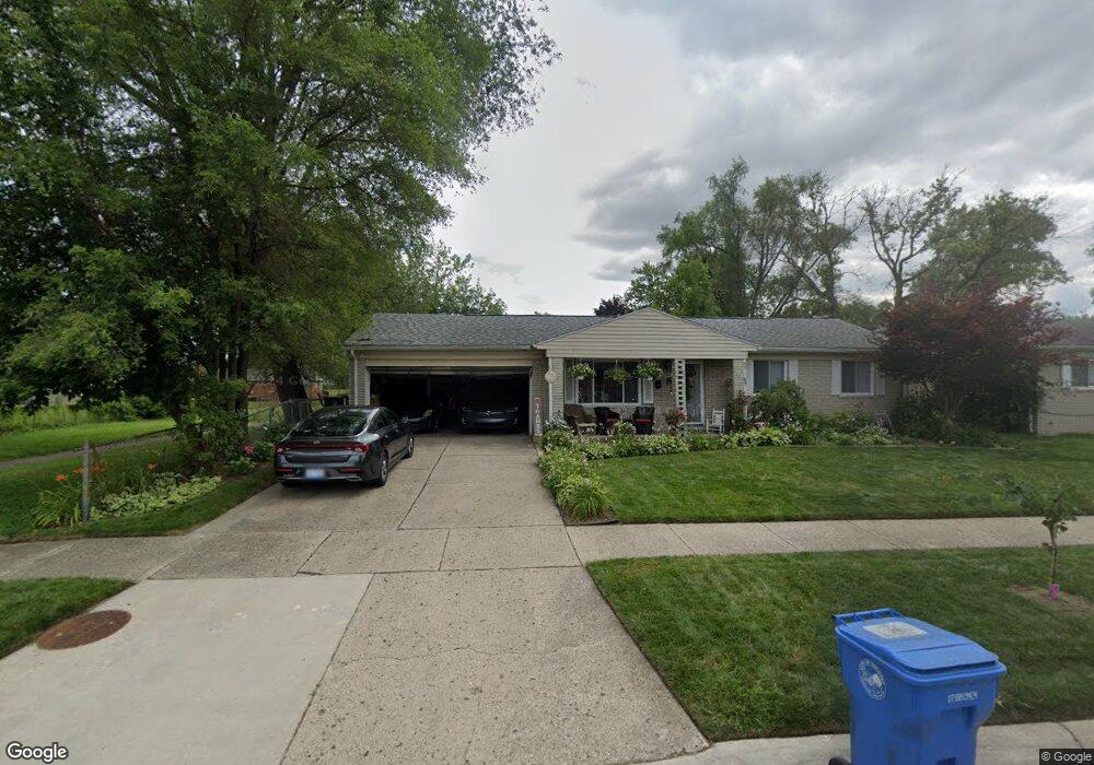
4263 Farnum St Inkster, MI 48141
Estimated Value: $116,000 - $172,000
3
Beds
2
Baths
1,200
Sq Ft
$117/Sq Ft
Est. Value
About This Home
This home is located at 4263 Farnum St, Inkster, MI 48141 and is currently estimated at $140,095, approximately $116 per square foot. 4263 Farnum St is a home located in Wayne County with nearby schools including Romulus Elementary School, Romulus Middle School, and Romulus Senior High School.
Ownership History
Date
Name
Owned For
Owner Type
Purchase Details
Closed on
Mar 4, 2015
Sold by
Payne Milton V
Bought by
Hunter Janice M
Current Estimated Value
Purchase Details
Closed on
Nov 24, 2010
Sold by
Bac Home Loans Servicing Lp
Bought by
Federal National Mortgage Association
Purchase Details
Closed on
Sep 15, 2010
Sold by
Conner Andrew R and Conner Matthew R
Bought by
Bac Home Loans Servicing Lp
Purchase Details
Closed on
Nov 3, 2004
Sold by
Johnson Monica and Johnson William
Bought by
Conner Andrew R
Create a Home Valuation Report for This Property
The Home Valuation Report is an in-depth analysis detailing your home's value as well as a comparison with similar homes in the area
Home Values in the Area
Average Home Value in this Area
Purchase History
| Date | Buyer | Sale Price | Title Company |
|---|---|---|---|
| Hunter Janice M | -- | None Available | |
| Federal National Mortgage Association | -- | None Available | |
| Bac Home Loans Servicing Lp | $87,023 | None Available | |
| Conner Andrew R | $85,000 | Transnation Title |
Source: Public Records
Tax History Compared to Growth
Tax History
| Year | Tax Paid | Tax Assessment Tax Assessment Total Assessment is a certain percentage of the fair market value that is determined by local assessors to be the total taxable value of land and additions on the property. | Land | Improvement |
|---|---|---|---|---|
| 2025 | $1,481 | $68,800 | $0 | $0 |
| 2024 | $1,481 | $50,000 | $0 | $0 |
| 2023 | $1,210 | $39,100 | $0 | $0 |
| 2022 | $1,719 | $31,700 | $0 | $0 |
| 2021 | $1,783 | $28,400 | $0 | $0 |
| 2020 | $1,749 | $24,500 | $0 | $0 |
| 2019 | $1,746 | $20,600 | $0 | $0 |
| 2018 | $1,135 | $18,000 | $0 | $0 |
| 2017 | $1,038 | $17,500 | $0 | $0 |
| 2016 | $1,703 | $15,800 | $0 | $0 |
| 2015 | $2,100 | $21,000 | $0 | $0 |
| 2013 | $2,950 | $29,500 | $0 | $0 |
| 2012 | $1,927 | $33,500 | $3,600 | $29,900 |
Source: Public Records
Map
Nearby Homes
- 29600 Pine St
- 4056 Fox St
- Vacant Wayland Ct
- 29119 York St
- 29038 York St
- 4705 S Middlebelt Rd
- 29026 York St
- 29978 Carlysle St
- 4770 Matthew St
- 28870 Annapolis Ave Unit 16
- 29114 Richard St
- 5022 S Middlebelt Rd
- 29006 Eton St
- 4971 Julius Blvd
- 29072 Powers St
- 4080 Isabelle St
- 5320 S Middlebelt Rd
- 4315 Isabelle St
- 28951 Powers St
- 3616 Spring Hill Ave