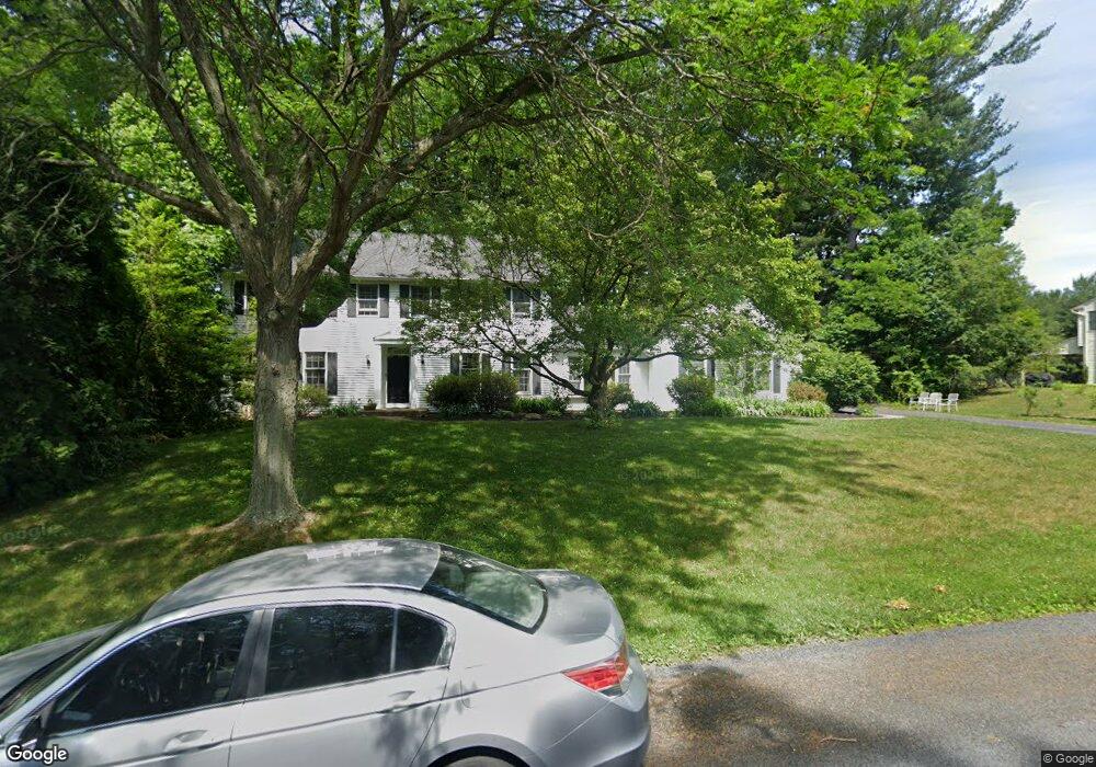
4263 Salem Dr Emmaus, PA 18049
Lower Macungie Township East NeighborhoodEstimated Value: $538,000 - $638,859
5
Beds
3
Baths
3,126
Sq Ft
$189/Sq Ft
Est. Value
About This Home
This home is located at 4263 Salem Dr, Emmaus, PA 18049 and is currently estimated at $590,215, approximately $188 per square foot. 4263 Salem Dr is a home located in Lehigh County with nearby schools including Macungie Elementary School, Eyer Middle School, and Emmaus High School.
Ownership History
Date
Name
Owned For
Owner Type
Purchase Details
Closed on
May 12, 1988
Bought by
Gorrie Edward J
Current Estimated Value
Purchase Details
Closed on
Jul 24, 1987
Sold by
Arf Corporation
Bought by
Collette Joseph A and Collette Joan E
Purchase Details
Closed on
May 27, 1987
Sold by
Collette Jr Joseph A and Collette Joan E
Bought by
Gorrie Edward J
Purchase Details
Closed on
Aug 12, 1985
Bought by
Arf Corporation
Create a Home Valuation Report for This Property
The Home Valuation Report is an in-depth analysis detailing your home's value as well as a comparison with similar homes in the area
Home Values in the Area
Average Home Value in this Area
Purchase History
| Date | Buyer | Sale Price | Title Company |
|---|---|---|---|
| Gorrie Edward J | $55,000 | -- | |
| Collette Joseph A | $81,400 | -- | |
| Gorrie Edward J | $55,000 | -- | |
| Arf Corporation | $300,000 | -- |
Source: Public Records
Tax History Compared to Growth
Tax History
| Year | Tax Paid | Tax Assessment Tax Assessment Total Assessment is a certain percentage of the fair market value that is determined by local assessors to be the total taxable value of land and additions on the property. | Land | Improvement |
|---|---|---|---|---|
| 2025 | $8,364 | $327,600 | $74,600 | $253,000 |
| 2024 | $7,993 | $327,600 | $74,600 | $253,000 |
| 2023 | $7,832 | $327,600 | $74,600 | $253,000 |
| 2022 | $7,644 | $327,600 | $253,000 | $74,600 |
| 2021 | $7,480 | $327,600 | $74,600 | $253,000 |
| 2020 | $7,407 | $327,600 | $74,600 | $253,000 |
| 2019 | $7,361 | $327,600 | $74,600 | $253,000 |
| 2018 | $7,173 | $327,600 | $74,600 | $253,000 |
| 2017 | $7,046 | $327,600 | $74,600 | $253,000 |
| 2016 | -- | $327,600 | $74,600 | $253,000 |
| 2015 | -- | $327,600 | $74,600 | $253,000 |
| 2014 | -- | $327,600 | $74,600 | $253,000 |
Source: Public Records
Map
Nearby Homes
- 4160 Newport Dr
- 3989 Mink Rd
- 4389 Taviston Ct E
- 5160 Maple Ridge Way
- 4481 Linda Ln
- 4788 Buckeye Rd
- 339 Delong Ave Unit 343
- 3810 Allen St
- Foxgrove I - TR Plan at The Fields at Twin Run
- Folcroft -TR Plan at The Fields at Twin Run
- Sierra - TR Plan at The Fields at Twin Run
- Cheswick - TR Plan at The Fields at Twin Run
- 3754 Samantha Ln
- Penrose I - TR Plan at The Fields at Twin Run
- Gossamer - TR Plan at The Fields at Twin Run
- 3754 Samantha Ln Unit Lot 1
- Penrose II - TR Plan at The Fields at Twin Run
- Garland I - TR Plan at The Fields at Twin Run
- Olympia I - TR Plan at The Fields at Twin Run
- Daggerwing - TR Plan at The Fields at Twin Run