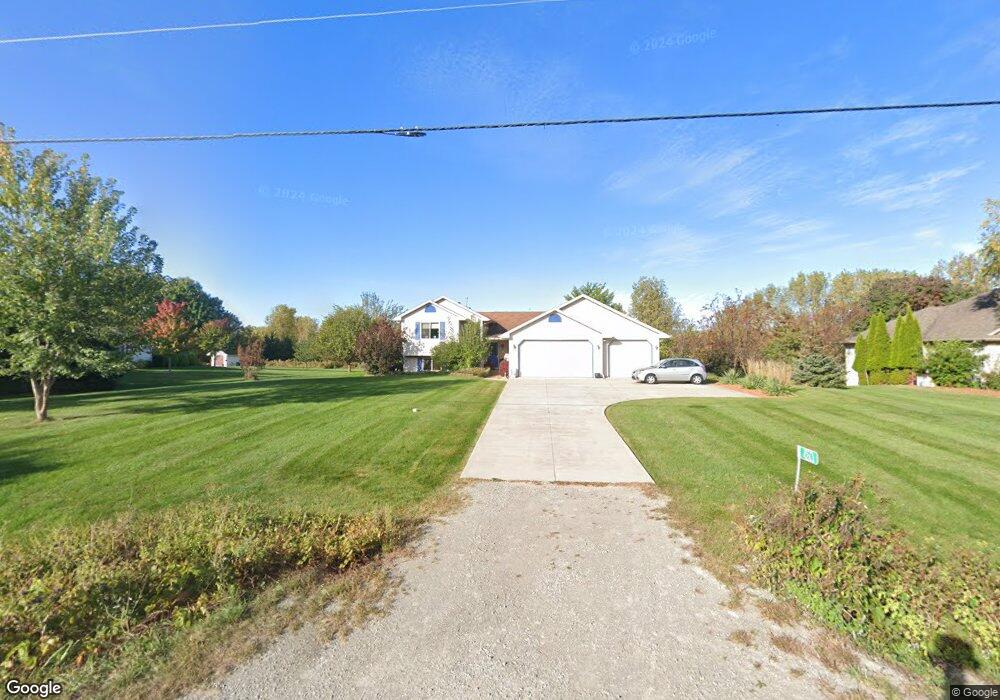
4263 Sand Pit Rd Oshkosh, WI 54904
Estimated Value: $342,060 - $460,000
Studio
--
Bath
--
Sq Ft
1.04
Acres
About This Home
This home is located at 4263 Sand Pit Rd, Oshkosh, WI 54904 and is currently estimated at $401,015. 4263 Sand Pit Rd is a home located in Winnebago County with nearby schools including Patch Elementary School, Omro Elementary School, and Omro Middle School.
Ownership History
Date
Name
Owned For
Owner Type
Purchase Details
Closed on
Jun 15, 2005
Sold by
Co Garry H Decker & Co Llc
Bought by
Pitts James R and Ciepluch Katharine M
Current Estimated Value
Home Financials for this Owner
Home Financials are based on the most recent Mortgage that was taken out on this home.
Original Mortgage
$38,200
Interest Rate
5.44%
Mortgage Type
Future Advance Clause Open End Mortgage
Purchase Details
Closed on
Feb 16, 2005
Sold by
Decker Garry H and Decker Cheryl G
Bought by
Co Garry H Decker & Co Llc
Create a Home Valuation Report for This Property
The Home Valuation Report is an in-depth analysis detailing your home's value as well as a comparison with similar homes in the area
Home Values in the Area
Average Home Value in this Area
Purchase History
| Date | Buyer | Sale Price | Title Company |
|---|---|---|---|
| Pitts James R | $191,100 | None Available | |
| Co Garry H Decker & Co Llc | -- | None Available |
Source: Public Records
Mortgage History
| Date | Status | Borrower | Loan Amount |
|---|---|---|---|
| Closed | Pitts James R | $38,200 | |
| Open | Pitts James R | $152,800 |
Source: Public Records
Tax History
| Year | Tax Paid | Tax Assessment Tax Assessment Total Assessment is a certain percentage of the fair market value that is determined by local assessors to be the total taxable value of land and additions on the property. | Land | Improvement |
|---|---|---|---|---|
| 2024 | $4,332 | $258,900 | $45,600 | $213,300 |
| 2023 | $3,938 | $258,900 | $45,600 | $213,300 |
| 2022 | $4,087 | $258,900 | $45,600 | $213,300 |
| 2021 | $3,977 | $258,900 | $45,600 | $213,300 |
| 2020 | $4,132 | $209,800 | $29,100 | $180,700 |
| 2019 | $3,880 | $209,800 | $29,100 | $180,700 |
| 2018 | $4,211 | $209,800 | $29,100 | $180,700 |
| 2017 | $4,086 | $209,800 | $29,100 | $180,700 |
| 2016 | $4,029 | $209,800 | $29,100 | $180,700 |
| 2015 | $3,196 | $190,300 | $29,100 | $161,200 |
| 2014 | -- | $190,300 | $29,100 | $161,200 |
| 2013 | -- | $190,300 | $29,100 | $161,200 |
Source: Public Records
Map
Nearby Homes
- 0 Cornhusk Ln
- 5289 Cornhusk Ln
- 5304 Fenceline Ln
- 5316 Cornhusk Ln
- 4372 Lakeland Dr
- 1951 Amy jo Dr
- 0 Stonegate Ct
- 0 Leonard Point Rd Unit 50319203
- 5340 Wisconsin 21
- 1 Reighmoor Rd
- 3896 Highland Shore Ln
- 0 Pierce Ln
- 4164 Star Ct
- 1928 Timberline Dr
- 2985 Pine Ridge Rd
- 2601 Oakwood Cir
- 3050 Waldwic Ln
- 2742 Shorehaven Ln
- 5987 County Rd E
- 0 Quail Run Dr Unit 50290410
- 0 Sand Pit Rd Unit 20803015
- 0 Sand Pit Rd Unit 50280498
- 0 Sand Pit Rd Unit 50223059
- 0 Sand Pit Rd Unit 50218277
- 0 Sand Pit Rd Unit 50116017
- 0 Sand Pit Rd Unit 50169946
- 4275 Sand Pit Rd
- 4249 Sand Pit Rd
- 4235 Sand Pit Rd
- 5115 Leonard Point Rd
- 5143 Leonard Point Rd
- 5114 David Dr
- 5020 Leonard Point Rd
- 5004 Leonard Point Rd
- 5154 David Dr
- 5115 David Dr
- 5175 David Dr
- 5052 Leonard Point Rd
- 5156 David Dr
- 5147 Leonard Point Rd
Your Personal Tour Guide
Ask me questions while you tour the home.