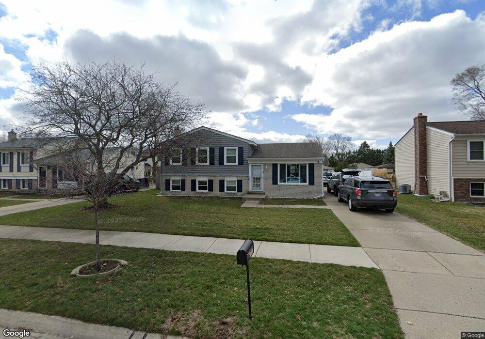
42634 Pheasant Run Dr Sterling Heights, MI 48313
Estimated Value: $237,879 - $334,000
--
Bed
--
Bath
1,638
Sq Ft
$181/Sq Ft
Est. Value
About This Home
This home is located at 42634 Pheasant Run Dr, Sterling Heights, MI 48313 and is currently estimated at $296,220, approximately $180 per square foot. 42634 Pheasant Run Dr is a home located in Macomb County with nearby schools including Havel Elementary School, Bemis Junior High School, and Henry Ford II High School.
Ownership History
Date
Name
Owned For
Owner Type
Purchase Details
Closed on
May 19, 2021
Sold by
Parejo Yepez Leo and Parejo Yepez Michelle
Bought by
Parejo Yepez Leo and Parejo Yepez Michelle
Current Estimated Value
Home Financials for this Owner
Home Financials are based on the most recent Mortgage that was taken out on this home.
Original Mortgage
$162,400
Outstanding Balance
$122,488
Interest Rate
2.9%
Mortgage Type
Stand Alone Refi Refinance Of Original Loan
Estimated Equity
$173,732
Purchase Details
Closed on
May 4, 2020
Sold by
Durocher Paul and Durocher Kathleen
Bought by
Parejo Yepez Leo and Parejo Yepez Michelle
Create a Home Valuation Report for This Property
The Home Valuation Report is an in-depth analysis detailing your home's value as well as a comparison with similar homes in the area
Home Values in the Area
Average Home Value in this Area
Purchase History
| Date | Buyer | Sale Price | Title Company |
|---|---|---|---|
| Parejo Yepez Leo | -- | Amrock Inc | |
| Parejo Yepez Leo | $89,535 | Amrock |
Source: Public Records
Mortgage History
| Date | Status | Borrower | Loan Amount |
|---|---|---|---|
| Open | Parejo Yepez Leo | $162,400 |
Source: Public Records
Tax History Compared to Growth
Tax History
| Year | Tax Paid | Tax Assessment Tax Assessment Total Assessment is a certain percentage of the fair market value that is determined by local assessors to be the total taxable value of land and additions on the property. | Land | Improvement |
|---|---|---|---|---|
| 2025 | $2,786 | $133,400 | $0 | $0 |
| 2024 | $2,548 | $118,600 | $0 | $0 |
| 2023 | $2,405 | $106,500 | $0 | $0 |
| 2022 | $2,508 | $96,400 | $0 | $0 |
| 2021 | $2,456 | $93,300 | $0 | $0 |
| 2020 | $2,190 | $88,600 | $0 | $0 |
| 2019 | $2,095 | $83,500 | $0 | $0 |
| 2018 | $2,269 | $73,800 | $0 | $0 |
| 2017 | $2,168 | $71,800 | $14,000 | $57,800 |
| 2016 | $2,095 | $71,800 | $0 | $0 |
| 2015 | -- | $64,500 | $0 | $0 |
| 2014 | -- | $56,700 | $0 | $0 |
Source: Public Records
Map
Nearby Homes
- 42708 Wilmington Dr
- 42811 Wilmington Dr
- 12840 19 Mile Rd
- 13299 Jennilynn Ln
- 42222 Mac Rae Dr
- 42153 Mac Rae Dr
- 13374 Wessel Ct
- 43263 Hartwick Dr
- 12133 Chattman Dr
- 13431 Melanie Dr
- 43216 Pendleton Cir Unit 63
- 13936 Grove Park Dr
- 11898 Lewlund Dr
- 42917 Freeport Dr
- 41222 Paign Dr
- 13980 Amanda Dr
- 12646 Bender Dr
- 11615 Diehl Dr
- 13994 Billette Dr
- 12862 Beechnut Dr
- 42646 Pheasant Run Dr
- 42622 Pheasant Run Dr
- 13003 Mair Dr
- 42658 Pheasant Run Dr
- 42522 Buckingham Dr
- 13015 Mair Dr
- 42610 Pheasant Run Dr
- 42508 Buckingham Dr
- 13027 Mair Dr
- 42641 Pheasant Run Dr
- 42670 Pheasant Run Dr
- 42621 Pheasant Run Dr
- 13039 Mair Dr
- 42609 Pheasant Run Dr
- 42663 Pheasant Run Dr
- 42682 Pheasant Run Dr
- 56281 Cannon Dr
- 13051 Mair Dr
- 42693 Wilmington Dr
- 42681 Pheasant Run Dr