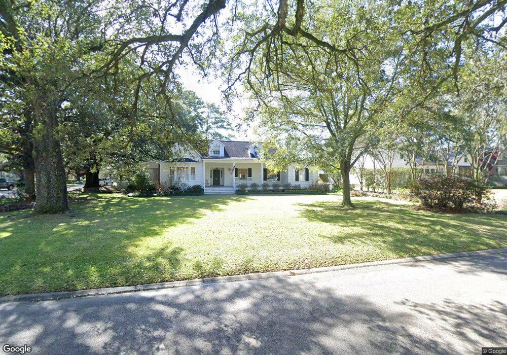
4264 Broussard St Baton Rouge, LA 70808
Mid City South NeighborhoodEstimated Value: $525,213 - $615,000
--
Bed
--
Bath
2,352
Sq Ft
$240/Sq Ft
Est. Value
About This Home
This home is located at 4264 Broussard St, Baton Rouge, LA 70808 and is currently estimated at $563,803, approximately $239 per square foot. 4264 Broussard St is a home located in East Baton Rouge Parish with nearby schools including Bernard Terrace Elementary School, Westdale Middle School, and Tara High School.
Ownership History
Date
Name
Owned For
Owner Type
Purchase Details
Closed on
Sep 9, 2005
Sold by
Wright Pansy H
Bought by
Countyman Clay J
Current Estimated Value
Home Financials for this Owner
Home Financials are based on the most recent Mortgage that was taken out on this home.
Original Mortgage
$480,000
Outstanding Balance
$255,671
Interest Rate
5.78%
Mortgage Type
New Conventional
Estimated Equity
$308,132
Create a Home Valuation Report for This Property
The Home Valuation Report is an in-depth analysis detailing your home's value as well as a comparison with similar homes in the area
Home Values in the Area
Average Home Value in this Area
Purchase History
| Date | Buyer | Sale Price | Title Company |
|---|---|---|---|
| Countyman Clay J | $270,000 | -- |
Source: Public Records
Mortgage History
| Date | Status | Borrower | Loan Amount |
|---|---|---|---|
| Open | Countyman Clay J | $480,000 |
Source: Public Records
Tax History Compared to Growth
Tax History
| Year | Tax Paid | Tax Assessment Tax Assessment Total Assessment is a certain percentage of the fair market value that is determined by local assessors to be the total taxable value of land and additions on the property. | Land | Improvement |
|---|---|---|---|---|
| 2024 | $4,445 | $44,688 | $2,000 | $42,688 |
| 2023 | $4,445 | $40,200 | $2,000 | $38,200 |
| 2022 | $4,800 | $40,200 | $2,000 | $38,200 |
| 2021 | $4,690 | $40,200 | $2,000 | $38,200 |
| 2020 | $4,659 | $40,200 | $2,000 | $38,200 |
| 2019 | $4,081 | $33,700 | $2,000 | $31,700 |
| 2018 | $4,031 | $33,700 | $2,000 | $31,700 |
| 2017 | $4,031 | $33,700 | $2,000 | $31,700 |
| 2016 | $3,153 | $33,700 | $2,000 | $31,700 |
| 2015 | $2,515 | $28,200 | $2,000 | $26,200 |
| 2014 | $2,506 | $28,200 | $2,000 | $26,200 |
| 2013 | -- | $28,200 | $2,000 | $26,200 |
Source: Public Records
Map
Nearby Homes
- 1321 Richland Ave
- 3955 Chatfield Ave
- 1932 Glenmore Ave
- 1547 Avondale Dr
- 1958 Ingleside Dr
- 765 Longwood Dr
- 4352 Woodside Dr
- 748 Richland Ave
- 720 Richland Ave
- 2027 Richland Ave
- 4608 Capital Heights Ave
- 1454 Ormandy Dr
- 2165 Glenmore Ave
- 3413 Belmont Ave
- Lot 30 Capital Heights Ave Unit 30
- 728 Steele Blvd
- 3544 Marie Dr Unit 3544
- 1518 Goldenrod Ave
- 4936 Abelia Dr
- 1922 Ramsey Dr
- 4246 Broussard St
- 1464 Ingleside Dr
- 4318 Broussard St
- 1427 Ingleside Dr
- 4222 Broussard St
- 1451 Glenmore Ave
- 1520 Ingleside Dr
- 4263 Broussard St
- 4334 Broussard St
- 4245 Broussard St
- 1467 Ingleside Dr
- 4317 Broussard St
- 1519 Glenmore Ave
- 4225 Broussard St
- 1519 Ingleside Dr
- 1542 Ingleside Dr
- 4354 Broussard St
- 4333 Broussard St
- 1525 Glenmore Ave
- 1274 Ingleside Dr