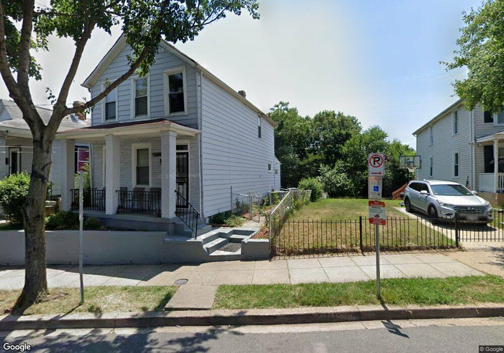
4265 Brooks St NE Washington, DC 20019
Mahaning Heights NeighborhoodEstimated Value: $333,000 - $417,000
3
Beds
1
Bath
1,386
Sq Ft
$270/Sq Ft
Est. Value
About This Home
This home is located at 4265 Brooks St NE, Washington, DC 20019 and is currently estimated at $373,859, approximately $269 per square foot. 4265 Brooks St NE is a home located in District of Columbia with nearby schools including Smothers Elementary School, Kelly Miller Middle School, and H.D. Woodson High School.
Ownership History
Date
Name
Owned For
Owner Type
Purchase Details
Closed on
Jan 19, 2023
Sold by
Turner Donna V
Bought by
Eic Real Estate Fund I Llc
Current Estimated Value
Home Financials for this Owner
Home Financials are based on the most recent Mortgage that was taken out on this home.
Original Mortgage
$273,000
Interest Rate
6.27%
Mortgage Type
New Conventional
Purchase Details
Closed on
Dec 8, 2016
Sold by
Gray Darren A
Bought by
Turner Donna V
Create a Home Valuation Report for This Property
The Home Valuation Report is an in-depth analysis detailing your home's value as well as a comparison with similar homes in the area
Home Values in the Area
Average Home Value in this Area
Purchase History
| Date | Buyer | Sale Price | Title Company |
|---|---|---|---|
| Eic Real Estate Fund I Llc | $380,000 | None Listed On Document | |
| Turner Donna V | -- | None Available |
Source: Public Records
Mortgage History
| Date | Status | Borrower | Loan Amount |
|---|---|---|---|
| Closed | Eic Real Estate Fund I Llc | $273,000 |
Source: Public Records
Tax History
| Year | Tax Paid | Tax Assessment Tax Assessment Total Assessment is a certain percentage of the fair market value that is determined by local assessors to be the total taxable value of land and additions on the property. | Land | Improvement |
|---|---|---|---|---|
| 2025 | $3,064 | $360,470 | $167,010 | $193,460 |
| 2024 | $3,016 | $354,780 | $162,770 | $192,010 |
| 2023 | $2,513 | $340,000 | $157,250 | $182,750 |
| 2022 | $1,987 | $312,460 | $153,810 | $158,650 |
| 2021 | $1,878 | $297,300 | $151,570 | $145,730 |
| 2020 | $1,749 | $283,550 | $143,210 | $140,340 |
| 2019 | $2,233 | $262,760 | $140,240 | $122,520 |
| 2017 | $1,932 | $227,350 | $0 | $0 |
| 2016 | $557 | $218,500 | $0 | $0 |
Source: Public Records
Map
Nearby Homes
- 4380 Benning Rd NE
- 4243 Dix St NE
- 4212 Benning Rd NE Unit 6
- 4223 Benning Rd NE
- 4253 Eads St NE
- 4521 Clay St NE
- 504 45th St NE
- 4272 E Capitol St NE Unit 2
- 4124 Ames St NE Unit 13
- 515 45th St NE
- 4116 Ames St NE Unit 203
- 4511 Eads St NE
- 4261 Edson Place NE
- 4227 Edson Place NE
- 4110 Ames St NE Unit 102
- 4530 Dix St NE
- 4234 Edson Place NE Unit 3
- 4545 Eads St NE
- 4138 E Capitol St NE
- 4542 Eads St NE
- 4261 Brooks St NE
- 4269 Brooks St NE
- 4259 Brooks St NE
- 4271 Brooks St NE
- 4257 Brooks St NE
- 4273 Brooks St NE
- 4255 Brooks St NE
- 4317 Brooks St NE
- 4253 Brooks St NE Unit 1
- 4253 Brooks St NE
- 4253 Brooks St NE Unit B
- 229 43rd Rd NE
- 4244 Brooks St NE
- 4244 Brooks St NE Unit 2
- 4244 Brooks St NE Unit 1
- 4248 Brooks St NE
- 4240 Brooks St NE
- 4319 Brooks St NE
- 4321 Brooks St NE
- 4252 Brooks St NE
Your Personal Tour Guide
Ask me questions while you tour the home.