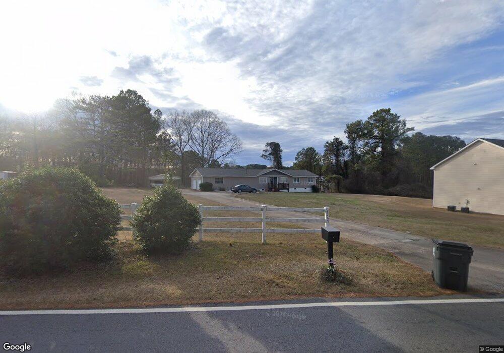
4265 White Rd Douglasville, GA 30135
Anneewakee NeighborhoodEstimated Value: $237,579 - $247,000
3
Beds
2
Baths
1,462
Sq Ft
$166/Sq Ft
Est. Value
About This Home
This home is located at 4265 White Rd, Douglasville, GA 30135 and is currently estimated at $242,895, approximately $166 per square foot. 4265 White Rd is a home located in Douglas County with nearby schools including New Manchester Elementary School, Chapel Hill Middle School, and New Manchester High School.
Ownership History
Date
Name
Owned For
Owner Type
Purchase Details
Closed on
Sep 15, 2000
Sold by
Robinson Timothy D
Bought by
Robinson Betty A
Current Estimated Value
Home Financials for this Owner
Home Financials are based on the most recent Mortgage that was taken out on this home.
Original Mortgage
$60,000
Outstanding Balance
$21,651
Interest Rate
7.96%
Mortgage Type
New Conventional
Estimated Equity
$221,244
Create a Home Valuation Report for This Property
The Home Valuation Report is an in-depth analysis detailing your home's value as well as a comparison with similar homes in the area
Home Values in the Area
Average Home Value in this Area
Purchase History
| Date | Buyer | Sale Price | Title Company |
|---|---|---|---|
| Robinson Betty A | -- | -- |
Source: Public Records
Mortgage History
| Date | Status | Borrower | Loan Amount |
|---|---|---|---|
| Open | Robinson Betty A | $60,000 |
Source: Public Records
Tax History Compared to Growth
Tax History
| Year | Tax Paid | Tax Assessment Tax Assessment Total Assessment is a certain percentage of the fair market value that is determined by local assessors to be the total taxable value of land and additions on the property. | Land | Improvement |
|---|---|---|---|---|
| 2024 | $364 | $63,040 | $13,320 | $49,720 |
| 2023 | $364 | $63,040 | $13,320 | $49,720 |
| 2022 | $379 | $51,640 | $9,520 | $42,120 |
| 2021 | $379 | $41,880 | $9,520 | $32,360 |
| 2020 | $379 | $41,880 | $9,520 | $32,360 |
| 2019 | $309 | $40,600 | $9,520 | $31,080 |
| 2018 | $309 | $39,720 | $9,520 | $30,200 |
| 2017 | $301 | $33,960 | $7,680 | $26,280 |
| 2016 | $275 | $30,400 | $7,040 | $23,360 |
| 2015 | $291 | $29,960 | $7,120 | $22,840 |
| 2014 | $291 | $29,684 | $8,920 | $20,764 |
| 2013 | -- | $29,604 | $8,920 | $20,684 |
Source: Public Records
Map
Nearby Homes
- 3771 Tackett Rd Unit 1
- 3784 Tackett Rd
- 3863 Grist Mill
- 4295 Caroline Ct
- 3675 Buffalo Ct
- 3939 Craggy Perch
- 4469 White Hill Place
- 3269 N Winds Trail
- 4542 White Rd
- 4159 Birch Bark Way
- 3203 Lower Creek Dr
- 3185 Tackett Rd
- 3448 Craggy Perch Unit 4
- 4217 Arnolds Mill Overpass
- 4112 Twig Ct
- 4240 N Braves Cir
- 4015 Soaring Dr
- 4245 White Rd
- 4235 White Rd
- 4275 White Rd
- 3746 Chisel Ct
- 3756 Chisel Ct Unit 1
- 3691 White Rd
- 3691 Tackett Rd
- 4295 White Rd
- 3701 Tackett Rd
- 4340 White Rd
- 3766 Chisel Ct Unit 1
- 3755 Chisel Ct Unit 1
- 3711 Tackett Rd
- 4375 White Rd
- 3685 Tackett Rd
- 3694 Tackett Rd Unit 1
- 0 Chisel Ct Unit 3226217
- 0 Chisel Ct Unit 3091488
- 0 Chisel Ct
- 3776 Chisel Ct