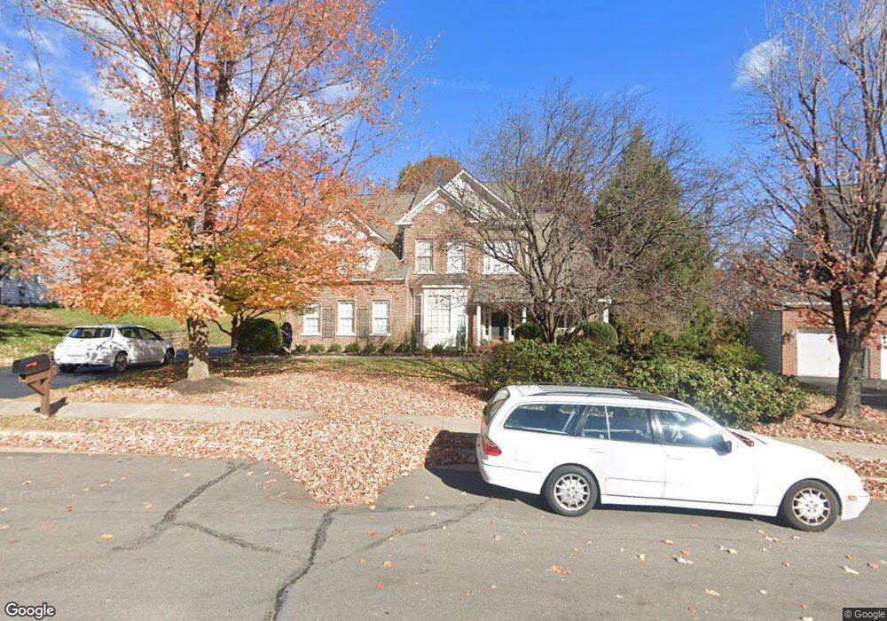
42668 Silverthorne Ct Broadlands, VA 20148
Estimated Value: $1,205,083 - $1,323,000
4
Beds
4
Baths
4,072
Sq Ft
$305/Sq Ft
Est. Value
About This Home
This home is located at 42668 Silverthorne Ct, Broadlands, VA 20148 and is currently estimated at $1,243,521, approximately $305 per square foot. 42668 Silverthorne Ct is a home located in Loudoun County with nearby schools including Mill Run Elementary School, Eagle Ridge Middle School, and Briar Woods High School.
Ownership History
Date
Name
Owned For
Owner Type
Purchase Details
Closed on
Nov 16, 2000
Sold by
Van Metre Land Ltd Pship
Bought by
Bryan David E
Current Estimated Value
Home Financials for this Owner
Home Financials are based on the most recent Mortgage that was taken out on this home.
Original Mortgage
$332,496
Outstanding Balance
$121,469
Interest Rate
7.76%
Estimated Equity
$1,122,052
Create a Home Valuation Report for This Property
The Home Valuation Report is an in-depth analysis detailing your home's value as well as a comparison with similar homes in the area
Home Values in the Area
Average Home Value in this Area
Purchase History
| Date | Buyer | Sale Price | Title Company |
|---|---|---|---|
| Bryan David E | $415,620 | -- |
Source: Public Records
Mortgage History
| Date | Status | Borrower | Loan Amount |
|---|---|---|---|
| Open | Bryan David E | $332,496 |
Source: Public Records
Tax History
| Year | Tax Paid | Tax Assessment Tax Assessment Total Assessment is a certain percentage of the fair market value that is determined by local assessors to be the total taxable value of land and additions on the property. | Land | Improvement |
|---|---|---|---|---|
| 2025 | $9,404 | $1,168,150 | $326,200 | $841,950 |
| 2024 | $8,866 | $1,024,930 | $311,200 | $713,730 |
| 2023 | $8,736 | $998,390 | $311,200 | $687,190 |
| 2022 | $8,520 | $957,340 | $291,200 | $666,140 |
| 2021 | $7,976 | $813,830 | $246,200 | $567,630 |
| 2020 | $7,795 | $753,140 | $226,200 | $526,940 |
| 2019 | $7,410 | $709,050 | $226,200 | $482,850 |
| 2018 | $7,605 | $700,890 | $201,200 | $499,690 |
| 2017 | $7,462 | $663,260 | $201,200 | $462,060 |
| 2016 | $7,502 | $655,220 | $0 | $0 |
| 2015 | $7,656 | $473,350 | $0 | $473,350 |
| 2014 | $7,437 | $462,710 | $0 | $462,710 |
Source: Public Records
Map
Nearby Homes
- 21492 Chickacoan Trail Dr
- 21514 Golden Autumn Place
- 21338 Fairhunt Dr
- 43255 Farringdon Square
- 42612 Hardage Terrace
- 42577 Sunset Ridge Square
- 43382 Farringdon Square
- 43376 Farringdon Square
- 43305 Farringdon Square
- 21847 Beckhorn Station Terrace Unit HOMESITE 183
- 21945 Windy Oaks Square
- 42612 Galbraith Square
- 43298 Farringdon Square Unit HOMESITE 209
- 42701 Wilmar Square
- 42517 Carnforth Ct
- 20956 Hollyberry Ct
- 20893 Murry Falls Terrace
- 20891 Murry Falls Terrace
- 20889 Murry Falls Terrace
- 20887 Murry Falls Terrace
- 42664 Silverthorne Ct
- 42672 Silverthorne Ct
- 21478 Basil Ct
- 21474 Basil Ct
- 21492 Glebe View Dr
- 42676 Silverthorne Ct
- 21488 Glebe View Dr
- 42669 Silverthorne Ct
- 21500 Glebe View Dr
- 42673 Silverthorne Ct
- 21470 Basil Ct
- 21475 Basil Ct
- 21480 Glebe View Dr
- 21504 Glebe View Dr
- 21493 Glebe View Dr
- 21497 Glebe View Dr
- 21489 Glebe View Dr
- 21466 Basil Ct
- 21512 Glebe View Dr
- 21471 Basil Ct
Your Personal Tour Guide
Ask me questions while you tour the home.