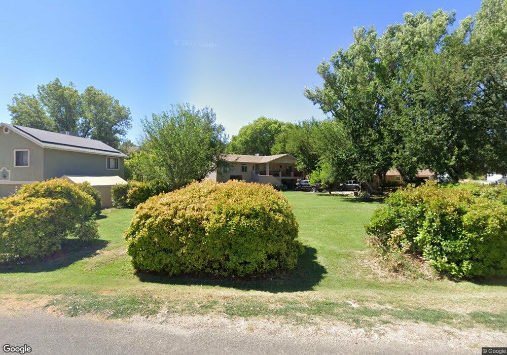
4267 E Comanche Dr Cottonwood, AZ 86326
Estimated Value: $32,281 - $249,000
Studio
--
Bath
--
Sq Ft
8,276
Sq Ft Lot
About This Home
This home is located at 4267 E Comanche Dr, Cottonwood, AZ 86326 and is currently estimated at $140,427. 4267 E Comanche Dr is a home located in Yavapai County with nearby schools including Dr Daniel Bright Elementary School, Cottonwood Elementary School, and Cottonwood Community School.
Ownership History
Date
Name
Owned For
Owner Type
Purchase Details
Closed on
Aug 30, 2023
Sold by
Lee Robert Scott and Charity Joy
Bought by
Meacham Misty and Meacham Bret
Current Estimated Value
Purchase Details
Closed on
Apr 28, 2018
Sold by
Whitmarsh Brandy
Bought by
Lee Robert Scott and Lee Charity Joy
Purchase Details
Closed on
Jan 31, 2014
Sold by
Lee Robert W
Bought by
Whitmarsh Brandy
Purchase Details
Closed on
Apr 22, 2013
Sold by
Meacham Bret L and Meacham Misty A
Bought by
Lee Robert W
Purchase Details
Closed on
Aug 23, 1999
Sold by
Tinnin Billy D and Tinnin Babette M
Bought by
Meacham Bret L and Meacham Misty A
Create a Home Valuation Report for This Property
The Home Valuation Report is an in-depth analysis detailing your home's value as well as a comparison with similar homes in the area
Home Values in the Area
Average Home Value in this Area
Purchase History
| Date | Buyer | Sale Price | Title Company |
|---|---|---|---|
| Meacham Misty | -- | -- | |
| Lee Robert Scott | -- | None Available | |
| Whitmarsh Brandy | -- | None Available | |
| Whitmarsh Brandy | -- | None Available | |
| Lee Robert W | -- | None Available | |
| Meacham Bret L | $18,000 | Transnation Title Ins |
Source: Public Records
Tax History
| Year | Tax Paid | Tax Assessment Tax Assessment Total Assessment is a certain percentage of the fair market value that is determined by local assessors to be the total taxable value of land and additions on the property. | Land | Improvement |
|---|---|---|---|---|
| 2026 | $276 | -- | -- | -- |
| 2024 | $266 | -- | -- | -- |
| 2023 | $266 | $4,018 | $4,018 | $0 |
| 2022 | $262 | $3,279 | $3,279 | $0 |
| 2021 | $269 | $3,506 | $3,506 | $0 |
| 2020 | $264 | $0 | $0 | $0 |
| 2019 | $260 | $0 | $0 | $0 |
| 2018 | $250 | $0 | $0 | $0 |
| 2017 | $240 | $0 | $0 | $0 |
| 2016 | $233 | $0 | $0 | $0 |
| 2015 | $244 | $0 | $0 | $0 |
| 2014 | -- | $0 | $0 | $0 |
Source: Public Records
Map
Nearby Homes
- 4499 E Diablo Dr
- 4101 E Sabino Trail
- 4593 E Silver Leaf Trail
- 4461 E Wild Stallion Trail
- 4691 E Diablo Dr
- 036L Caitlin Ln Unit 36L
- 0000 Caitlin Ln
- 2068 S Wranglers Way
- 4857 E Badger Cir Unit 2316
- 4902 E Brigade Cir Unit 5
- 4758 E Juniper Trail
- 4540 E Bird Ln
- 2350 S Buckboard Trail
- 4614 Juniper Trail Unit 715
- 1945 S State Route 260 --
- 2291 S Puma Cir
- 1270 S Savage Ln
- 4475 E Zalesky Rd
- 2419 S Lariat Cir
- 2486 S Rio Verde Dr
Your Personal Tour Guide
Ask me questions while you tour the home.