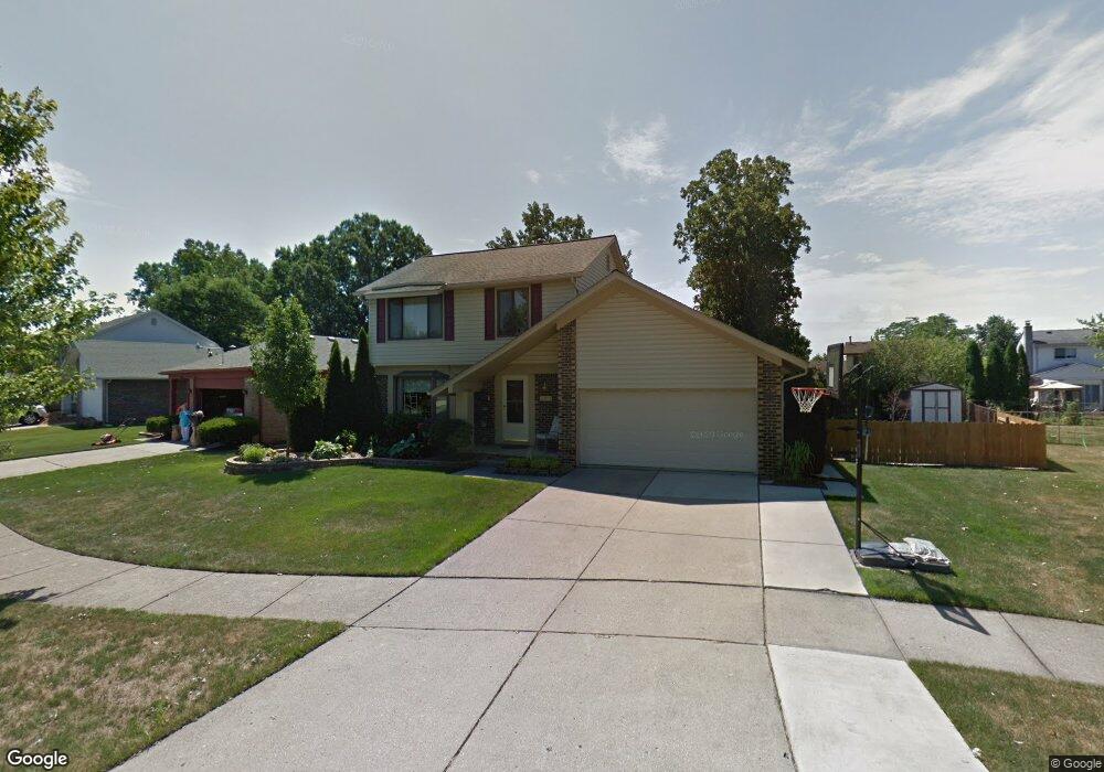
42671 Addison Ave Canton, MI 48187
Estimated Value: $348,000 - $382,000
Studio
2
Baths
1,559
Sq Ft
$231/Sq Ft
Est. Value
About This Home
This home is located at 42671 Addison Ave, Canton, MI 48187 and is currently estimated at $359,891, approximately $230 per square foot. 42671 Addison Ave is a home located in Wayne County with nearby schools including Canton High School, Discovery Middle School, and Salem High School.
Ownership History
Date
Name
Owned For
Owner Type
Purchase Details
Closed on
Aug 1, 2024
Sold by
Sleeva Suzanne L
Bought by
Sleeva Suzanne L and Suzanne L Sleeva Revocable Trust
Current Estimated Value
Purchase Details
Closed on
May 16, 2023
Sold by
Henson Kermit T
Bought by
Sleeva Suzanne Lynne
Purchase Details
Closed on
Sep 22, 2003
Sold by
Hopkins Gary G and Hopkins Becky L
Bought by
Henson Kermit T
Create a Home Valuation Report for This Property
The Home Valuation Report is an in-depth analysis detailing your home's value as well as a comparison with similar homes in the area
Home Values in the Area
Average Home Value in this Area
Purchase History
| Date | Buyer | Sale Price | Title Company |
|---|---|---|---|
| Sleeva Suzanne L | -- | None Listed On Document | |
| Sleeva Suzanne Lynne | -- | None Listed On Document | |
| Henson Kermit T | $220,000 | Multiple |
Source: Public Records
Tax History
| Year | Tax Paid | Tax Assessment Tax Assessment Total Assessment is a certain percentage of the fair market value that is determined by local assessors to be the total taxable value of land and additions on the property. | Land | Improvement |
|---|---|---|---|---|
| 2025 | $1,865 | $171,000 | $0 | $0 |
| 2024 | $1,812 | $168,900 | $0 | $0 |
| 2023 | $1,727 | $156,600 | $0 | $0 |
| 2022 | $3,819 | $130,500 | $0 | $0 |
| 2021 | $3,705 | $123,800 | $0 | $0 |
| 2020 | $3,654 | $122,900 | $0 | $0 |
| 2019 | $3,589 | $115,460 | $0 | $0 |
| 2018 | $1,468 | $98,580 | $0 | $0 |
| 2017 | $3,687 | $92,700 | $0 | $0 |
| 2016 | $3,266 | $97,100 | $0 | $0 |
| 2015 | $8,067 | $95,060 | $0 | $0 |
| 2013 | $7,815 | $85,200 | $0 | $0 |
| 2010 | -- | $88,260 | $43,504 | $44,756 |
Source: Public Records
Map
Nearby Homes
- 1680 Manton Blvd
- 1399 Copeland Cir
- 42195 Briarcliff Ct
- 42745 Redfern St
- 42216 Metaline Dr
- 5794 Willow Creek Dr
- 42739 Lilley Pointe Dr Unit 119
- 42714 Lilley Pointe Dr Unit 213
- 41772 Glade Rd Unit 41
- 42789 Lilley Pointe Dr Unit 146
- 43051 Fernwood St
- 58560 Stuart Dr
- 6158 Courtland Dr
- 1399 Elmhurst St
- 6311 Winter Dr
- 7125 N Lilley Rd
- 1822 N Sheldon Rd
- 1211 W Franciscan Ct
- 43818 Palisades Dr
- 41210 Maplewood Dr Unit 10
- 42659 Addison Ave
- 42683 Addison Ave
- 42647 Addison Ave
- 1521 Copeland Cir
- 42740 Shadowlawn Dr
- 42754 Shadowlawn Dr
- 1533 Copeland Cir
- 42703 Addison Ave
- 42635 Addison Ave
- 42766 Shadowlawn Dr
- 42715 Addison Ave
- 1545 Copeland Cir
- 42654 Addison Ave
- 42727 Addison Ave
- 42642 Addison Ave
- 42776 Shadowlawn Dr
- 42623 Addison Ave
- 1744 Manton Blvd
- 1557 Copeland Cir
- 1766 Manton Blvd
Your Personal Tour Guide
Ask me questions while you tour the home.