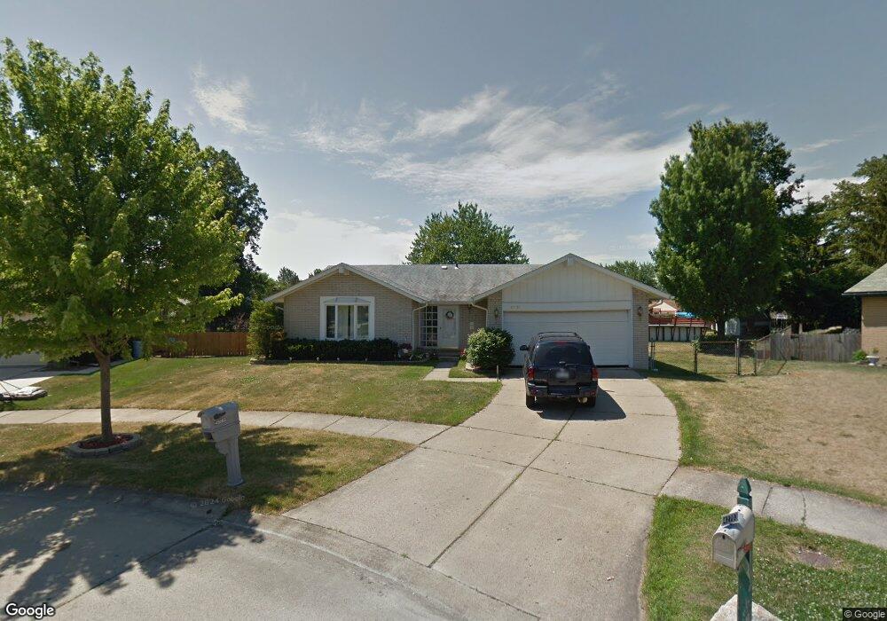
42683 Addison Ave Canton, MI 48187
Estimated Value: $347,000 - $386,000
3
Beds
2
Baths
1,450
Sq Ft
$252/Sq Ft
Est. Value
About This Home
This home is located at 42683 Addison Ave, Canton, MI 48187 and is currently estimated at $365,507, approximately $252 per square foot. 42683 Addison Ave is a home located in Wayne County with nearby schools including Canton High School, Discovery Middle School, and Salem High School.
Ownership History
Date
Name
Owned For
Owner Type
Purchase Details
Closed on
Jun 18, 2021
Sold by
Johnson Douglas Lloyd and Johnson Julie
Bought by
Johnson Douglas Lloyd
Current Estimated Value
Home Financials for this Owner
Home Financials are based on the most recent Mortgage that was taken out on this home.
Original Mortgage
$138,000
Outstanding Balance
$104,778
Interest Rate
2.9%
Mortgage Type
New Conventional
Estimated Equity
$260,729
Purchase Details
Closed on
Jul 28, 2008
Sold by
Renberg Danny and Renberg Catherine A
Bought by
Johnson Douglas L
Create a Home Valuation Report for This Property
The Home Valuation Report is an in-depth analysis detailing your home's value as well as a comparison with similar homes in the area
Home Values in the Area
Average Home Value in this Area
Purchase History
| Date | Buyer | Sale Price | Title Company |
|---|---|---|---|
| Johnson Douglas Lloyd | -- | Avenue 365 Lender Svcs Llc | |
| Johnson Douglas L | $175,000 | Metropolitan Title Company |
Source: Public Records
Mortgage History
| Date | Status | Borrower | Loan Amount |
|---|---|---|---|
| Open | Johnson Douglas Lloyd | $138,000 |
Source: Public Records
Tax History
| Year | Tax Paid | Tax Assessment Tax Assessment Total Assessment is a certain percentage of the fair market value that is determined by local assessors to be the total taxable value of land and additions on the property. | Land | Improvement |
|---|---|---|---|---|
| 2025 | $1,940 | $182,300 | $0 | $0 |
| 2024 | $1,885 | $181,000 | $0 | $0 |
| 2023 | $1,797 | $167,300 | $0 | $0 |
| 2022 | $3,966 | $137,900 | $0 | $0 |
| 2021 | $3,848 | $129,500 | $0 | $0 |
| 2020 | $3,795 | $128,300 | $0 | $0 |
| 2019 | $3,728 | $120,160 | $0 | $0 |
| 2018 | $1,528 | $105,830 | $0 | $0 |
| 2017 | $3,824 | $98,100 | $0 | $0 |
| 2016 | $3,391 | $102,600 | $0 | $0 |
| 2015 | $8,393 | $100,520 | $0 | $0 |
| 2013 | $8,131 | $88,700 | $0 | $0 |
| 2010 | -- | $85,750 | $51,361 | $34,389 |
Source: Public Records
Map
Nearby Homes
- 1680 Manton Blvd
- 1399 Copeland Cir
- 42745 Redfern St
- 1656 Walnut Ridge Cir
- 42216 Metaline Dr
- 42739 Lilley Pointe Dr Unit 119
- 42714 Lilley Pointe Dr Unit 213
- 41772 Glade Rd Unit 41
- 5794 Willow Creek Dr
- 42789 Lilley Pointe Dr Unit 146
- 43051 Fernwood St
- 58560 Stuart Dr
- 1399 Elmhurst St
- 41210 Maplewood Dr Unit 10
- 41160 Maplewood Dr Unit 15
- 41260 Maplewood Dr Unit 5
- 43818 Palisades Dr
- 7125 N Lilley Rd
- 1211 W Franciscan Ct
- 1822 N Sheldon Rd
- 42703 Addison Ave
- 42671 Addison Ave
- 42754 Shadowlawn Dr
- 42766 Shadowlawn Dr
- 42740 Shadowlawn Dr
- 42715 Addison Ave
- 42776 Shadowlawn Dr
- 1744 Manton Blvd
- 42659 Addison Ave
- 1766 Manton Blvd
- 1521 Copeland Cir
- 1788 Manton Blvd
- 42727 Addison Ave
- 42790 Shadowlawn Dr
- 42647 Addison Ave
- 1533 Copeland Cir
- 1810 Manton Blvd
- 42739 Addison Ave
- 42654 Addison Ave
- 42755 Shadowlawn Dr
Your Personal Tour Guide
Ask me questions while you tour the home.