Estimated Value: $414,000 - $468,000
About This Home
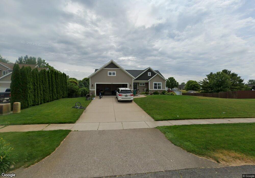
This home is located at 4269 Railside Dr, Dorr, MI 49323 and is currently estimated at $441,759, approximately $281 per square foot. 4269 Railside Dr is a home located in Allegan County with nearby schools including Wayland High School, Byron Center Charter School, and St. Stanislaus School.
Ownership History
We collect this data history from publicly available records. To have your information removed, we recommend requesting removal directly through your county’s website.
Purchase Details
Home Financials for this Owner
Home Financials are based on the most recent Mortgage that was taken out on this home.Purchase Details
Purchase Details
Home Values in the Area
Average Home Value in this Area
Purchase History
We collect this data history from publicly available records. To have your information removed, we recommend requesting removal directly through your county’s website.
| Date | Buyer | Sale Price | Title Company |
|---|---|---|---|
| $217,000 | None Available | ||
| $210,000 | None Available | ||
| $10,000 | None Available |
Mortgage History
We collect this data history from publicly available records. To have your information removed, we recommend requesting removal directly through your county’s website.
| Date | Status | Borrower | Loan Amount |
|---|---|---|---|
| Open | $184,025 |
Tax History
We collect this data history from publicly available records. To have your information removed, we recommend requesting removal directly through your county’s website.
| Year | Tax Paid | Tax Assessment Tax Assessment Total Assessment is a certain percentage of the fair market value that is determined by local assessors to be the total taxable value of land and additions on the property. | Land | Improvement |
|---|---|---|---|---|
| 2025 | $4,241 | $197,600 | $36,600 | $161,000 |
| 2024 | $3,829 | $191,700 | $30,200 | $161,500 |
| 2023 | $3,924 | $170,100 | $29,000 | $141,100 |
| 2022 | $3,829 | $154,600 | $25,300 | $129,300 |
| 2021 | $3,615 | $135,800 | $23,400 | $112,400 |
| 2020 | $3,451 | $131,800 | $21,300 | $110,500 |
| 2019 | $3,451 | $129,300 | $16,000 | $113,300 |
| 2018 | $3,372 | $109,200 | $16,000 | $93,200 |
| 2017 | $0 | $16,000 | $16,000 | $0 |
| 2016 | $0 | $16,000 | $16,000 | $0 |
| 2015 | -- | $16,000 | $16,000 | $0 |
| 2014 | -- | $13,600 | $13,600 | $0 |
| 2013 | -- | $13,600 | $13,600 | $0 |
Map
- 4317 Saturn Dr
- Lots A&B 142nd Ave
- 1341 142nd Ave
- 1923 Jack Pine Ct Unit 1
- 1716 143rd Ave Unit 1
- 1946 142nd Ave
- 1684 Ann St
- 1689 Slater Ave
- 4281 Medie St
- 4146 Sandy Dr
- 4096 Janet Dr
- 4072 Ronalds Rd
- V/L Parcel B 18th St
- V/L Parcel A 18th St
- 2124 Hilltop View Dr Unit 16
- 2135 Hilltop View Dr Unit 9
- V/L 146th Ave SW
- Lot 11 Walnut Dale Dr
- Parcel B 108th St SW
- (Parcel A) 108th St SW
- 4275 Railside Dr
- 1829 Cooke Farms
- 0 Railside Ct Unit LOT 1
- 4270 Railside Dr
- 4266 Railside Dr
- 4257 Railside Dr
- 1825 Cooke Farms Dr
- 1825 Cooke Farms Dr
- 1834 143rd Ave
- 4276 Railside Dr
- 1828 143rd Ave
- 4260 Railside Dr
- 4284 Railside Dr
- 1824 143rd Ave
- 1826 Cooke Farms
- 1821 Cooke Farms
- 4258 Railside Dr
- 1833 Railside Ct
- 1820 143rd Ave
- 4254 Railside Dr
Ask me questions while you tour the home.