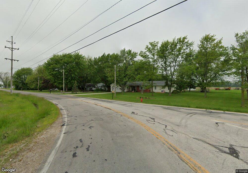
4269 W Darr Hopfinger Rd Port Clinton, OH 43452
Estimated Value: $149,000 - $210,000
2
Beds
1
Bath
1,008
Sq Ft
$168/Sq Ft
Est. Value
About This Home
This home is located at 4269 W Darr Hopfinger Rd, Port Clinton, OH 43452 and is currently estimated at $169,345, approximately $168 per square foot. 4269 W Darr Hopfinger Rd is a home located in Ottawa County with nearby schools including Bataan Memorial Primary School, Bataan Memorial Intermediate School, and Port Clinton Middle School.
Ownership History
Date
Name
Owned For
Owner Type
Purchase Details
Closed on
Mar 21, 2024
Sold by
Ohm Troy R and Ohm Betty M
Bought by
Dp105 Llc
Current Estimated Value
Purchase Details
Closed on
Sep 2, 2009
Sold by
Asman Mark F and Essex Patricia
Bought by
Ohm Troy R and Silva Betty M
Home Financials for this Owner
Home Financials are based on the most recent Mortgage that was taken out on this home.
Original Mortgage
$80,700
Interest Rate
5.32%
Mortgage Type
New Conventional
Purchase Details
Closed on
Aug 31, 2009
Sold by
Graybill Jeanne C and Graybill Roger
Bought by
Ohm Troy R and Silva Betty M
Home Financials for this Owner
Home Financials are based on the most recent Mortgage that was taken out on this home.
Original Mortgage
$80,700
Interest Rate
5.32%
Mortgage Type
New Conventional
Create a Home Valuation Report for This Property
The Home Valuation Report is an in-depth analysis detailing your home's value as well as a comparison with similar homes in the area
Home Values in the Area
Average Home Value in this Area
Purchase History
| Date | Buyer | Sale Price | Title Company |
|---|---|---|---|
| Dp105 Llc | $145,000 | Infinity Title | |
| Ohm Troy R | $55,350 | Attorney | |
| Ohm Troy R | $27,700 | Attorney |
Source: Public Records
Mortgage History
| Date | Status | Borrower | Loan Amount |
|---|---|---|---|
| Previous Owner | Ohm Troy R | $80,700 | |
| Previous Owner | Ohm Troy R | $80,700 |
Source: Public Records
Tax History Compared to Growth
Tax History
| Year | Tax Paid | Tax Assessment Tax Assessment Total Assessment is a certain percentage of the fair market value that is determined by local assessors to be the total taxable value of land and additions on the property. | Land | Improvement |
|---|---|---|---|---|
| 2024 | $1,386 | $42,144 | $10,455 | $31,689 |
| 2023 | $1,386 | $33,335 | $6,843 | $26,492 |
| 2022 | $1,214 | $33,335 | $6,843 | $26,492 |
| 2021 | $1,213 | $33,340 | $6,840 | $26,500 |
| 2020 | $1,051 | $27,670 | $5,700 | $21,970 |
| 2019 | $1,035 | $27,670 | $5,700 | $21,970 |
| 2018 | $1,033 | $27,670 | $5,700 | $21,970 |
| 2017 | $828 | $22,980 | $5,700 | $17,280 |
| 2016 | $830 | $22,980 | $5,700 | $17,280 |
| 2015 | $833 | $22,980 | $5,700 | $17,280 |
| 2014 | $420 | $22,980 | $5,700 | $17,280 |
| 2013 | $843 | $22,980 | $5,700 | $17,280 |
Source: Public Records
Map
Nearby Homes
- 2738 W Columbus St
- 5084 W Fremont Rd
- 2915 W Rising Sun Rd
- 2915 W Risingsun Rd
- 2860 W Rising Sun Rd
- 295 Meachem Rd
- 3652 W Harbor Rd
- 265 S Meachem Rd
- 265 S Meachem Rd Unit 62
- 265 S Meachem Rd Unit 24
- 265 S Meachem Rd Unit 39
- 2400 Sandy Ln
- 3800 W Lakeshore Dr
- 1805 W Lakeshore Dr Unit 3
- 1805 W Lakeshore Dr
- 1254 W Fremont Rd
- 51 N Schooner Point Dr
- 89 N Schooner Point Dr Unit 89
- 85 Schooner Point Dr
- 1340 W Lakeshore Dr Unit 1372
- 4269 Darr-Hopfinger Rd
- 4276 W Darr Hopfinger Rd
- 4343 Darr-Hopfinger Rd
- 4343 W Darr Hopfinger Rd
- 4146 W Darr Hopfinger Rd
- 4330 W Darr Hopfinger Rd
- 4345 W Darr Hopfinger Rd Unit 30
- 4345 W Darr Hopfinger Rd
- 4345 W Darr Hopfinger Rd Unit 53
- 4345 W Darr Hopfinger Rd Unit 112
- 4299 W Oak Harbor Southeast Rd
- 4671 W Darr Hopfinger Rd
- 4299 W Oak Harbor Rd SE
- 4311 W Oak Harbor Southeast Rd
- 4499 W Oak Harbor Southeast Rd
- 4405 W Oak Harbor Southeast Rd
- 4267 W Oak Harbor Southeast Rd
- 4495 W Darr Hopfinger Rd
- 4495 W Darr-Hopfinger Rd Unit F-148
- 4495 W Darr-Hopfinger Rd