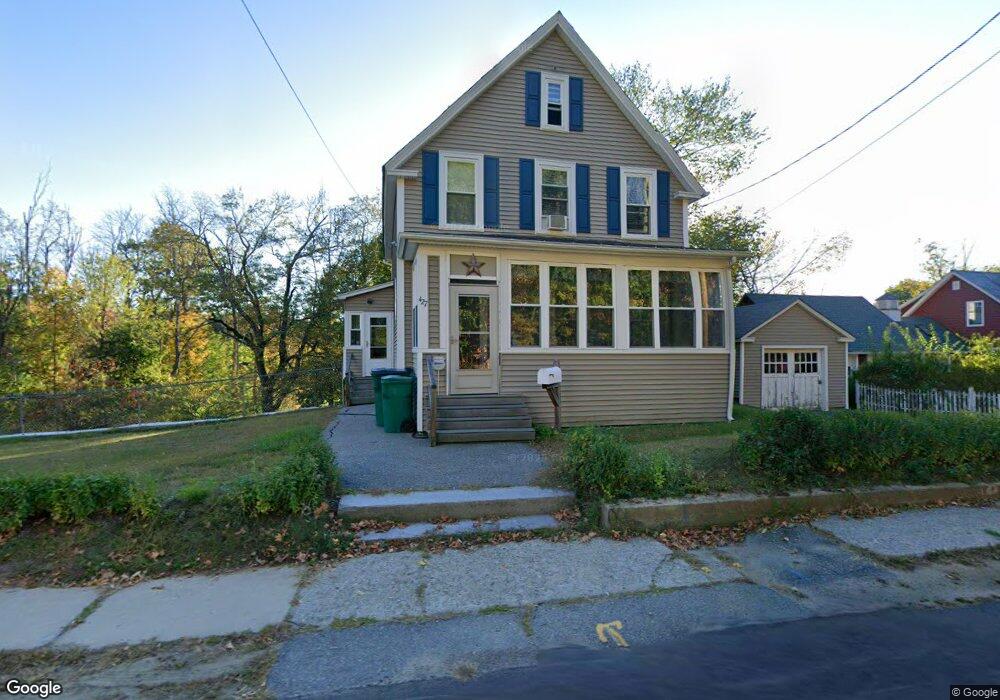
427 Ashburnham St Fitchburg, MA 01420
Estimated Value: $342,543 - $1,137,000
2
Beds
1
Bath
1,288
Sq Ft
$428/Sq Ft
Est. Value
About This Home
This home is located at 427 Ashburnham St, Fitchburg, MA 01420 and is currently estimated at $551,386, approximately $428 per square foot. 427 Ashburnham St is a home located in Worcester County with nearby schools including Reingold Elementary School, South Street Elementary School, and Crocker Elementary School.
Ownership History
Date
Name
Owned For
Owner Type
Purchase Details
Closed on
Oct 21, 1993
Sold by
Swaine Myra M and Wonka Myra
Bought by
Sicard Thomas M and Sicard Lisa A
Current Estimated Value
Home Financials for this Owner
Home Financials are based on the most recent Mortgage that was taken out on this home.
Original Mortgage
$71,150
Interest Rate
6.73%
Mortgage Type
Purchase Money Mortgage
Create a Home Valuation Report for This Property
The Home Valuation Report is an in-depth analysis detailing your home's value as well as a comparison with similar homes in the area
Home Values in the Area
Average Home Value in this Area
Purchase History
| Date | Buyer | Sale Price | Title Company |
|---|---|---|---|
| Sicard Thomas M | $74,900 | -- |
Source: Public Records
Mortgage History
| Date | Status | Borrower | Loan Amount |
|---|---|---|---|
| Closed | Sicard Thomas M | $100,000 | |
| Closed | Sicard Thomas M | $80,000 | |
| Closed | Sicard Thomas M | $70,000 | |
| Closed | Sicard Thomas M | $71,150 |
Source: Public Records
Tax History Compared to Growth
Tax History
| Year | Tax Paid | Tax Assessment Tax Assessment Total Assessment is a certain percentage of the fair market value that is determined by local assessors to be the total taxable value of land and additions on the property. | Land | Improvement |
|---|---|---|---|---|
| 2025 | $40 | $298,900 | $101,400 | $197,500 |
| 2024 | $4,148 | $280,100 | $67,900 | $212,200 |
| 2023 | $3,893 | $243,000 | $58,400 | $184,600 |
| 2022 | $3,628 | $206,000 | $48,900 | $157,100 |
| 2021 | $599 | $170,600 | $35,300 | $135,300 |
| 2020 | $3,092 | $156,900 | $32,600 | $124,300 |
| 2019 | $3,092 | $150,900 | $46,200 | $104,700 |
| 2018 | $4,061 | $135,100 | $43,500 | $91,600 |
| 2017 | $2,714 | $126,300 | $43,500 | $82,800 |
| 2016 | $2,569 | $121,000 | $39,400 | $81,600 |
| 2015 | $2,477 | $119,800 | $38,000 | $81,800 |
| 2014 | $2,376 | $119,800 | $38,000 | $81,800 |
Source: Public Records
Map
Nearby Homes
- 57 Highview St
- 592 Westminster Hill Rd
- 14 Felton St
- 45 Norwood St
- 87 Eaton St
- 17 Simonds Rd
- 19 Ashburnham St
- 204 Roosevelt St
- 87 Roosevelt St
- 358-360 Fairmount St
- 276 Fairmount St
- 36 England Ave
- 58 Cascade St
- 15 Cascade St
- 35 Bernadette St
- 429 Oak Hill Rd
- 139 Parson Cir
- 0 River St
- 162 Delisle St
- 7 Valleyview Ct Unit 3
- 445 Ashburnham St
- 421 Ashburnham St
- 424 Ashburnham St
- 414 Ashburnham St
- 460 Ashburnham St
- 391 Ashburnham St
- 394 Ashburnham St
- 392 Ashburnham St
- 450 Ashburnham St
- 377 Ashburnham St
- 488 Ashburnham St
- 365 Ashburnham St
- 501 Ashburnham St
- 354 Ashburnham St
- 504 Ashburnham St
- Lot 1 Ashburnham St
- 343 Ashburnham St
- 524 Ashburnham St
- 335 Ashburnham St
- 355 Ashburnham St