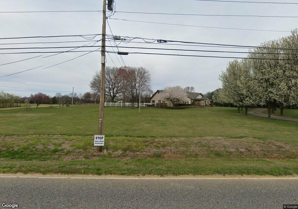
427 Auburn Rd Pilesgrove, NJ 08098
Estimated Value: $327,000 - $564,000
--
Bed
--
Bath
2,258
Sq Ft
$195/Sq Ft
Est. Value
About This Home
This home is located at 427 Auburn Rd, Pilesgrove, NJ 08098 and is currently estimated at $440,588, approximately $195 per square foot. 427 Auburn Rd is a home located in Salem County with nearby schools including Mary S. Shoemaker School and Woodstown High School.
Ownership History
Date
Name
Owned For
Owner Type
Purchase Details
Closed on
Sep 24, 2021
Sold by
Mccarthy Kevin C
Bought by
Mccarthy Kevin C and Mccarthy Amy C
Current Estimated Value
Purchase Details
Closed on
Sep 13, 2021
Sold by
Mccarthy Kevin C and Mccarthy Kathleen M
Bought by
Mccarthy Kevin C
Purchase Details
Closed on
Sep 15, 1988
Bought by
Mccarthy Robert D and Mccarthy Eileen L
Create a Home Valuation Report for This Property
The Home Valuation Report is an in-depth analysis detailing your home's value as well as a comparison with similar homes in the area
Home Values in the Area
Average Home Value in this Area
Purchase History
| Date | Buyer | Sale Price | Title Company |
|---|---|---|---|
| Mccarthy Kevin C | -- | None Available | |
| Mccarthy Kevin C | $207,300 | None Available | |
| Mccarthy Robert D | -- | -- |
Source: Public Records
Tax History Compared to Growth
Tax History
| Year | Tax Paid | Tax Assessment Tax Assessment Total Assessment is a certain percentage of the fair market value that is determined by local assessors to be the total taxable value of land and additions on the property. | Land | Improvement |
|---|---|---|---|---|
| 2025 | $12,277 | $349,400 | $128,500 | $220,900 |
| 2024 | $12,455 | $335,800 | $128,500 | $207,300 |
| 2023 | $12,455 | $335,800 | $128,500 | $207,300 |
| 2022 | $11,733 | $335,800 | $128,500 | $207,300 |
| 2021 | $10,951 | $335,800 | $128,500 | $207,300 |
| 2020 | $10,910 | $335,800 | $128,500 | $207,300 |
| 2019 | $10,591 | $335,800 | $128,500 | $207,300 |
| 2018 | $10,168 | $335,800 | $128,500 | $207,300 |
| 2017 | $9,836 | $335,800 | $128,500 | $207,300 |
| 2016 | $9,436 | $335,800 | $128,500 | $207,300 |
| 2015 | $8,731 | $335,800 | $128,500 | $207,300 |
| 2014 | $8,408 | $335,800 | $128,500 | $207,300 |
Source: Public Records
Map
Nearby Homes
- 33 Buttonwood Dr
- 15 Laurel Ln
- 23 Waterview Dr
- 0 Birch Ln Unit NJSA2015664
- 11 Mimosa Ln
- 115 Fox Chase Ct
- 34 2 Penny Run E
- 195 Hunters Run
- 194 Jockey Hollow Run
- 5 James Ct
- 3 Tanager Ct
- 1573 Oldmans Creek Rd
- L 5.01 Oldmans Creek Rd
- 2157 Oldmans Creek Rd
- 2101 Oldmans Creek Rd
- 89 Pennsville Auburn Rd & Stumpy Ln
- 555 Woodstown Rd
- 34 Main St
- 0 Woodstown Rd Unit NJSA2016854
- 180 Cambridge Blvd
- 35 Buttonwood Dr
- 31 Buttonwood Dr
- 29 Buttonwood Dr
- 423 Auburn Rd
- 26 Buttonwood Dr
- 28 Buttonwood Dr
- 39 Buttonwood Dr
- 417 Auburn Rd
- 24 Buttonwood Dr
- 27 Buttonwood Dr
- 30 Buttonwood Dr
- 441 Auburn Rd
- 41 Buttonwood Dr
- 22 Buttonwood Dr
- 14 Hickory Ln W
- 18 Buttonwood Dr
- 106 Buttonwood Ct
- 411 Auburn Rd
- 16 Buttonwood Dr
- 12 Hickory Ln W