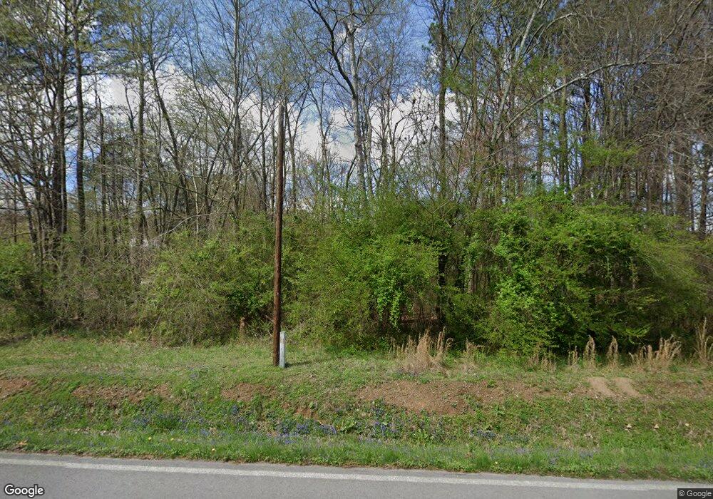
427 Beaumont Rd Rock Spring, GA 30739
Rock Spring NeighborhoodEstimated Value: $384,788 - $542,000
3
Beds
2
Baths
2,100
Sq Ft
$214/Sq Ft
Est. Value
About This Home
This home is located at 427 Beaumont Rd, Rock Spring, GA 30739 and is currently estimated at $450,447, approximately $214 per square foot. 427 Beaumont Rd is a home located in Walker County with nearby schools including Rock Spring Elementary School, Lafayette High School, and Alice M Daley Adventist School.
Ownership History
Date
Name
Owned For
Owner Type
Purchase Details
Closed on
Sep 30, 2015
Sold by
Yancy Edwin T
Bought by
Yancy Pamela G
Current Estimated Value
Purchase Details
Closed on
Jun 8, 2011
Sold by
Federal National Mortgage Association
Bought by
Yancy Edwin T
Home Financials for this Owner
Home Financials are based on the most recent Mortgage that was taken out on this home.
Original Mortgage
$199,820
Interest Rate
4.65%
Mortgage Type
New Conventional
Purchase Details
Closed on
Oct 2, 2003
Sold by
Beene Billy R
Bought by
Baker Jess K and Baker Tara T
Purchase Details
Closed on
Jun 8, 1981
Bought by
Beene Billy R
Create a Home Valuation Report for This Property
The Home Valuation Report is an in-depth analysis detailing your home's value as well as a comparison with similar homes in the area
Home Values in the Area
Average Home Value in this Area
Purchase History
| Date | Buyer | Sale Price | Title Company |
|---|---|---|---|
| Yancy Pamela G | -- | -- | |
| Yancy Edwin T | $206,000 | -- | |
| Baker Jess K | $25,000 | -- | |
| Beene Billy R | $2,000 | -- |
Source: Public Records
Mortgage History
| Date | Status | Borrower | Loan Amount |
|---|---|---|---|
| Previous Owner | Yancy Edwin T | $199,820 |
Source: Public Records
Tax History Compared to Growth
Tax History
| Year | Tax Paid | Tax Assessment Tax Assessment Total Assessment is a certain percentage of the fair market value that is determined by local assessors to be the total taxable value of land and additions on the property. | Land | Improvement |
|---|---|---|---|---|
| 2024 | $2,981 | $132,294 | $21,536 | $110,758 |
| 2023 | $2,827 | $122,254 | $17,092 | $105,162 |
| 2022 | $2,698 | $107,104 | $16,022 | $91,082 |
| 2021 | $2,521 | $89,852 | $16,022 | $73,830 |
| 2020 | $2,221 | $75,358 | $16,022 | $59,336 |
| 2019 | $2,259 | $75,270 | $16,022 | $59,248 |
| 2018 | $1,992 | $75,270 | $16,022 | $59,248 |
| 2017 | $2,465 | $75,270 | $16,022 | $59,248 |
| 2016 | $1,972 | $75,270 | $16,022 | $59,248 |
| 2015 | $2,162 | $77,999 | $23,820 | $54,179 |
| 2014 | $2,033 | $77,999 | $23,820 | $54,179 |
| 2013 | -- | $77,999 | $23,820 | $54,179 |
Source: Public Records
Map
Nearby Homes
- 0 Cheshire Crossing Dr Unit 1387793
- 0 E Teems Rd Unit 7573954
- 449 W Watts Rd
- 5602 Georgia 95
- 00 Georgia 95
- 287 E Teems Rd
- 265 Rodeo Dr
- 76 Side Kick Ln
- 0 Tarvin Rd Unit 1523862
- 10180 Us Highway 27
- 62 Lerch Ln
- 1003 Highway N Old 27
- 1370 Old Highway 27
- 13 Crosswinds Dr
- 819 Waters Dr
- 59 Honeysuckle Dr
- 386 Twelve Oaks Dr
- 36 Pheonix Cir
- 701 Bicentennial Trail
- 375 Cooper Rd
- 565 Beaumont Rd
- 509 Beaumont Rd
- 343 Beaumont Rd
- 442 Beaumont Rd
- 195 Shipp Lake Dr
- 0 Cureton Ln Unit 7324574
- 0 Cureton Ln
- 30 Hwy 95
- 0 Fieldstone Commons Unit 1151448
- 0 Fieldstone Commons Unit 1151444
- 0 Fieldstone Commons Unit 1151450
- 0 Fieldstone Commons Unit 1151449
- 0 Fieldstone Commons Unit 1151447
- 0 Fieldstone Commons Unit 1151451
- 0 Fieldstone Commons Unit 1151446
- 0 Colbert Hollow Acre Unit 1145076
- 0 Colbert Hollow Acre Unit 1126960
- 0 Hwy 95 Unit 1083050
- 69 Summerfield Ln Unit 1
- 45 Summerfield Rd Unit 1
