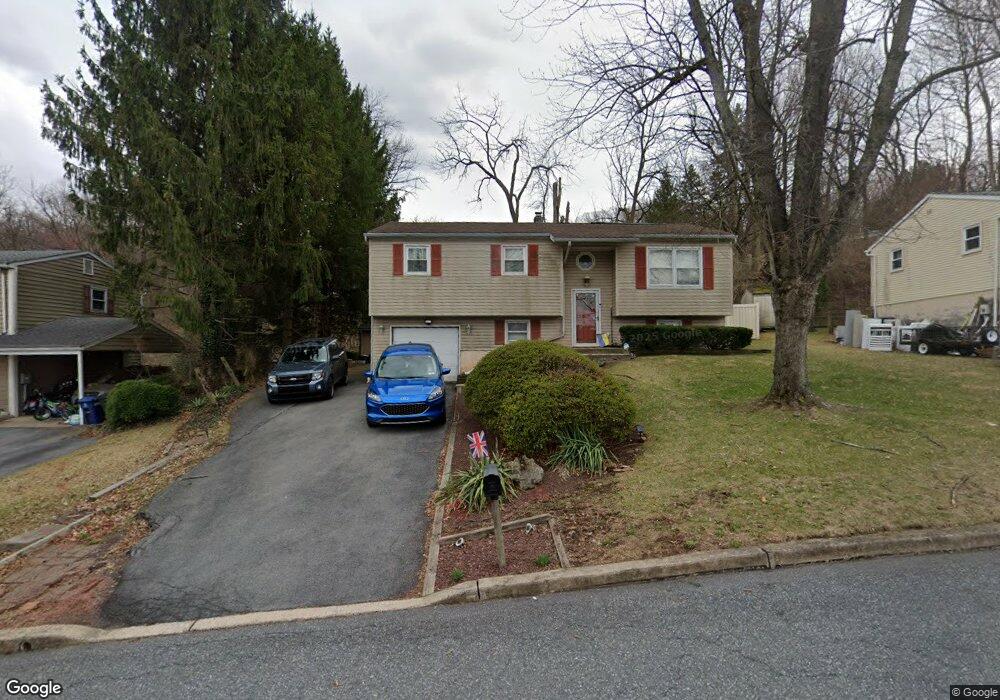
427 Calyn Dr Reading, PA 19607
Pennwyn NeighborhoodEstimated Value: $298,746 - $371,000
3
Beds
2
Baths
1,800
Sq Ft
$188/Sq Ft
Est. Value
About This Home
This home is located at 427 Calyn Dr, Reading, PA 19607 and is currently estimated at $337,687, approximately $187 per square foot. 427 Calyn Dr is a home located in Berks County with nearby schools including Cumru Elementary School, Governor Mifflin Intermediate School, and Governor Mifflin Middle School.
Ownership History
Date
Name
Owned For
Owner Type
Purchase Details
Closed on
Aug 10, 2006
Sold by
Boone Courtney and Mohn Courtney
Bought by
Barto Kyle R and Weikel Cynthia L
Current Estimated Value
Home Financials for this Owner
Home Financials are based on the most recent Mortgage that was taken out on this home.
Original Mortgage
$156,000
Outstanding Balance
$94,016
Interest Rate
6.83%
Mortgage Type
New Conventional
Estimated Equity
$243,671
Purchase Details
Closed on
Sep 18, 2002
Sold by
Herber Richard C
Bought by
Citifinancial Mtg Company Inc
Create a Home Valuation Report for This Property
The Home Valuation Report is an in-depth analysis detailing your home's value as well as a comparison with similar homes in the area
Home Values in the Area
Average Home Value in this Area
Purchase History
| Date | Buyer | Sale Price | Title Company |
|---|---|---|---|
| Barto Kyle R | $195,000 | First American Title Ins Co | |
| Citifinancial Mtg Company Inc | $1,200 | -- |
Source: Public Records
Mortgage History
| Date | Status | Borrower | Loan Amount |
|---|---|---|---|
| Open | Barto Kyle R | $156,000 |
Source: Public Records
Tax History
| Year | Tax Paid | Tax Assessment Tax Assessment Total Assessment is a certain percentage of the fair market value that is determined by local assessors to be the total taxable value of land and additions on the property. | Land | Improvement |
|---|---|---|---|---|
| 2025 | $1,713 | $96,000 | $28,200 | $67,800 |
| 2024 | $4,417 | $96,000 | $28,200 | $67,800 |
| 2023 | $4,293 | $96,000 | $28,200 | $67,800 |
| 2022 | $4,186 | $96,000 | $28,200 | $67,800 |
| 2021 | $4,103 | $96,000 | $28,200 | $67,800 |
| 2020 | $4,103 | $96,000 | $28,200 | $67,800 |
| 2019 | $4,053 | $96,000 | $28,200 | $67,800 |
| 2018 | $3,980 | $96,000 | $28,200 | $67,800 |
| 2017 | $3,903 | $96,000 | $28,200 | $67,800 |
| 2016 | $1,456 | $96,000 | $28,200 | $67,800 |
| 2015 | $1,427 | $96,000 | $28,200 | $67,800 |
| 2014 | $1,427 | $96,000 | $28,200 | $67,800 |
Source: Public Records
Map
Nearby Homes
- 153 E Wyomissing Ave
- 26 E Mohn St
- 148 Main St
- 17 E Summit St
- 508 S Sterley St
- 40 W Wyomissing Ave
- 42 Chestnut St
- 78 Chestnut St
- 613 Leininger Ave
- 106 Pear St
- 267 New Castle Dr
- 135 Chestnut St
- 1 Overview Ct
- 512 Mifflin Blvd
- 31 S Sterley St Unit 401
- 902 Bedford Ave
- 7 Buck Run
- 9 Katie Ln
- 200 W Lancaster Ave
- 28 Charlemont Ct
Your Personal Tour Guide
Ask me questions while you tour the home.