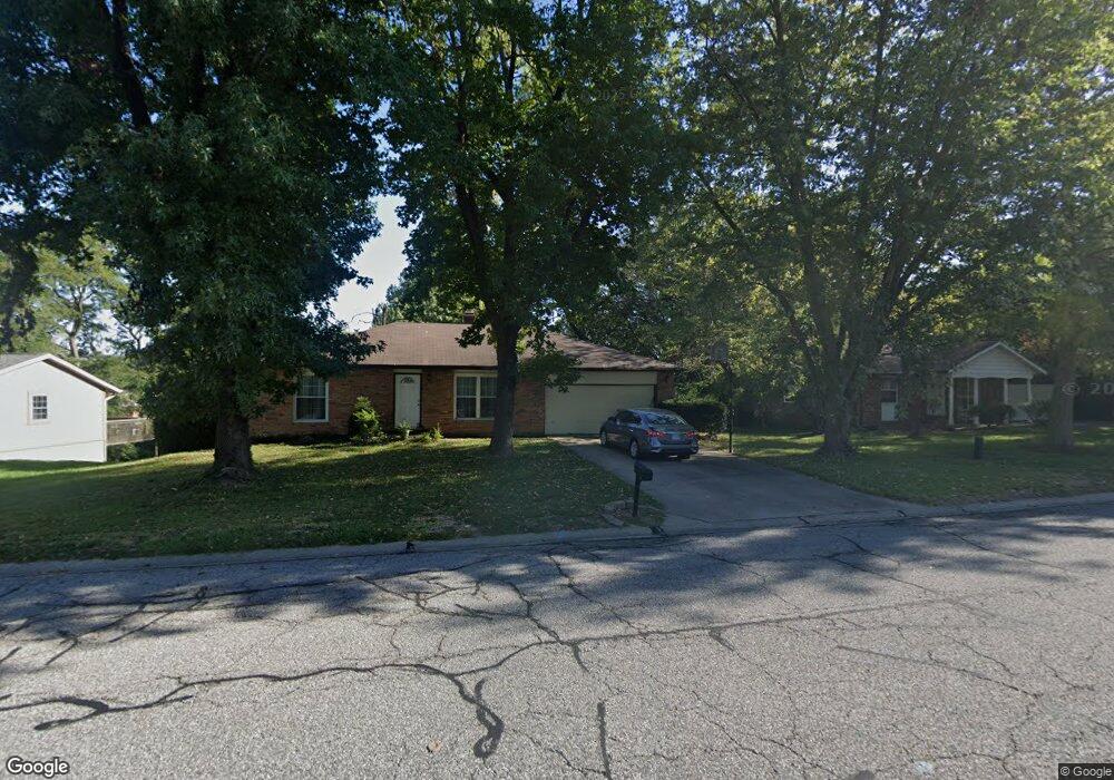
427 Chapel Dr Collinsville, IL 62234
Estimated Value: $211,452 - $270,000
4
Beds
2
Baths
1,382
Sq Ft
$173/Sq Ft
Est. Value
About This Home
This home is located at 427 Chapel Dr, Collinsville, IL 62234 and is currently estimated at $239,613, approximately $173 per square foot. 427 Chapel Dr is a home located in Madison County with nearby schools including John A Renfro Elementary School, Dorris Intermediate School, and Collinsville Middle School.
Ownership History
Date
Name
Owned For
Owner Type
Purchase Details
Closed on
Apr 14, 2004
Sold by
Kober Michael J
Bought by
Kober Marsha L
Current Estimated Value
Home Financials for this Owner
Home Financials are based on the most recent Mortgage that was taken out on this home.
Original Mortgage
$105,000
Interest Rate
5.45%
Mortgage Type
New Conventional
Create a Home Valuation Report for This Property
The Home Valuation Report is an in-depth analysis detailing your home's value as well as a comparison with similar homes in the area
Home Values in the Area
Average Home Value in this Area
Purchase History
| Date | Buyer | Sale Price | Title Company |
|---|---|---|---|
| Kober Marsha L | -- | Abstracts & Titles Inc |
Source: Public Records
Mortgage History
| Date | Status | Borrower | Loan Amount |
|---|---|---|---|
| Closed | Kober Marsha L | $105,000 |
Source: Public Records
Tax History Compared to Growth
Tax History
| Year | Tax Paid | Tax Assessment Tax Assessment Total Assessment is a certain percentage of the fair market value that is determined by local assessors to be the total taxable value of land and additions on the property. | Land | Improvement |
|---|---|---|---|---|
| 2024 | $4,338 | $73,860 | $14,650 | $59,210 |
| 2023 | $4,338 | $67,340 | $13,330 | $54,010 |
| 2022 | $4,037 | $62,270 | $12,330 | $49,940 |
| 2021 | $3,626 | $58,500 | $11,580 | $46,920 |
| 2020 | $3,477 | $55,820 | $11,050 | $44,770 |
| 2019 | $3,182 | $51,220 | $10,310 | $40,910 |
| 2018 | $3,097 | $48,530 | $9,770 | $38,760 |
| 2017 | $3,094 | $47,570 | $9,580 | $37,990 |
| 2016 | $3,249 | $47,570 | $9,580 | $37,990 |
| 2015 | $3,355 | $46,330 | $9,330 | $37,000 |
| 2014 | $3,355 | $46,330 | $9,330 | $37,000 |
| 2013 | $3,355 | $46,330 | $9,330 | $37,000 |
Source: Public Records
Map
Nearby Homes
- 414 Bunker Hill Dr
- 22 Brookwood Dr
- 5 Brookwood Dr
- 10 White Lily Dr
- 1224 Cedar Ridge Ct
- 0 N Keebler Ave
- 2007 Belt Line Rd
- 203 Greenfield Dr
- 1121 Carraway Ct
- 1120 Williams St
- 308 Brown Ave
- 123 Elliot St
- 1059 Lafayette Ct Unit A
- 1035 Lafayette Ct Unit B
- 1051 Lafayette Ct Unit A
- 1210 Constance St
- 0 Strong Ave
- 617 N Morrison Ave
- 123 W Wickliffe Ave
- 580 N Guernsey St