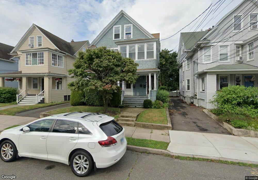
427 Davidson St Unit 429 Bridgeport, CT 06605
Black Rock NeighborhoodEstimated Value: $353,709 - $731,000
5
Beds
3
Baths
3,174
Sq Ft
$173/Sq Ft
Est. Value
About This Home
This home is located at 427 Davidson St Unit 429, Bridgeport, CT 06605 and is currently estimated at $550,177, approximately $173 per square foot. 427 Davidson St Unit 429 is a home located in Fairfield County with nearby schools including Holland Hill Elementary, Fairfield Ludlowe High School, and Park City Prep Charter School.
Ownership History
Date
Name
Owned For
Owner Type
Purchase Details
Closed on
Jun 9, 1999
Sold by
Goethner Steve A
Bought by
Stevens David M
Current Estimated Value
Purchase Details
Closed on
Nov 21, 1989
Sold by
Dawson Michael
Bought by
Goethner Stephen
Home Financials for this Owner
Home Financials are based on the most recent Mortgage that was taken out on this home.
Original Mortgage
$156,000
Interest Rate
9.97%
Mortgage Type
Purchase Money Mortgage
Create a Home Valuation Report for This Property
The Home Valuation Report is an in-depth analysis detailing your home's value as well as a comparison with similar homes in the area
Home Values in the Area
Average Home Value in this Area
Purchase History
| Date | Buyer | Sale Price | Title Company |
|---|---|---|---|
| Stevens David M | $125,000 | -- | |
| Stevens David M | $125,000 | -- | |
| Goethner Stephen | $195,000 | -- |
Source: Public Records
Mortgage History
| Date | Status | Borrower | Loan Amount |
|---|---|---|---|
| Open | Goethner Stephen | $198,000 | |
| Closed | Goethner Stephen | $65,000 | |
| Previous Owner | Goethner Stephen | $156,000 |
Source: Public Records
Tax History
| Year | Tax Paid | Tax Assessment Tax Assessment Total Assessment is a certain percentage of the fair market value that is determined by local assessors to be the total taxable value of land and additions on the property. | Land | Improvement |
|---|---|---|---|---|
| 2025 | $11,675 | $268,690 | $109,540 | $159,150 |
| 2024 | $11,675 | $268,690 | $109,540 | $159,150 |
| 2023 | $11,675 | $268,690 | $109,540 | $159,150 |
| 2022 | $11,675 | $268,690 | $109,540 | $159,150 |
| 2021 | $11,675 | $268,690 | $109,540 | $159,150 |
| 2020 | $9,328 | $172,770 | $49,390 | $123,380 |
| 2019 | $9,328 | $172,770 | $49,390 | $123,380 |
| 2018 | $9,394 | $172,770 | $49,390 | $123,380 |
| 2017 | $9,394 | $172,770 | $49,390 | $123,380 |
| 2016 | $9,394 | $172,770 | $49,390 | $123,380 |
| 2015 | $8,563 | $202,920 | $51,630 | $151,290 |
| 2014 | $8,563 | $202,920 | $51,630 | $151,290 |
Source: Public Records
Map
Nearby Homes
- 3250 Fairfield Ave Unit 302
- 165 Bennett St
- 90 Clarkson St
- 132 Gilman St
- 855 Brewster St Unit 857
- 315 Seaside Ave
- 377 Midland St
- 148 Alfred St
- 554 Brewster St Unit 4
- 27 Nash Ln Unit 5
- 37 Rowsley St Unit 6
- 20 Haddon St Unit 5
- 97 Fayerweather Terrace
- 78 Rowsley St Unit 4
- 117 Nash Ln
- 361 Riverside Dr
- 318 Grovers Ave
- 22 Monroe St Unit 24
- 287 Hansen Ave
- 65 Ellsworth St Unit 302
- 437 Davidson St Unit 3
- 437 Davidson St Unit 2
- 419 Davidson St Unit 421
- 435 Davidson St Unit 1
- 435 Davidson St Unit 1st Flr
- 443 Davidson St Unit 445
- 411 Davidson St Unit 413
- 451 Davidson St Unit 453
- 461 Davidson St
- 434 Davidson St
- 430 Davidson St Unit 434
- 424 Davidson St Unit 428
- 444 Davidson St
- 420 Davidson St
- 410 Davidson St Unit 412
- 450 Davidson St Unit 452
- 450 Davidson St Unit 1st Floor
- 450 Davidson St Unit 2ND F
- 450 Davidson St Unit 3RD F
- 450 Davidson St Unit 1ST F
Your Personal Tour Guide
Ask me questions while you tour the home.