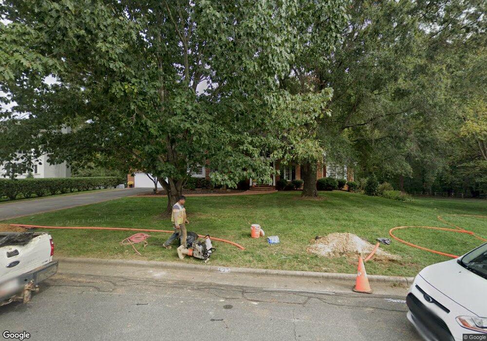
427 Fieldstone Dr Burlington, NC 27215
West Burlington NeighborhoodEstimated Value: $878,000 - $1,020,000
5
Beds
5
Baths
6,875
Sq Ft
$134/Sq Ft
Est. Value
About This Home
This home is located at 427 Fieldstone Dr, Burlington, NC 27215 and is currently estimated at $923,911, approximately $134 per square foot. 427 Fieldstone Dr is a home located in Alamance County with nearby schools including Marvin B. Smith Elementary School, Turrentine Middle School, and Walter M. Williams High School.
Ownership History
Date
Name
Owned For
Owner Type
Purchase Details
Closed on
Mar 24, 2003
Sold by
Hunley Patti
Bought by
Browne Geoffrey
Current Estimated Value
Home Financials for this Owner
Home Financials are based on the most recent Mortgage that was taken out on this home.
Original Mortgage
$473,100
Outstanding Balance
$203,088
Interest Rate
5.86%
Mortgage Type
New Conventional
Estimated Equity
$720,823
Create a Home Valuation Report for This Property
The Home Valuation Report is an in-depth analysis detailing your home's value as well as a comparison with similar homes in the area
Home Values in the Area
Average Home Value in this Area
Purchase History
| Date | Buyer | Sale Price | Title Company |
|---|---|---|---|
| Browne Geoffrey | $473,500 | -- | |
| Hunley Patti | -- | -- |
Source: Public Records
Mortgage History
| Date | Status | Borrower | Loan Amount |
|---|---|---|---|
| Open | Hunley Patti | $473,100 |
Source: Public Records
Tax History Compared to Growth
Tax History
| Year | Tax Paid | Tax Assessment Tax Assessment Total Assessment is a certain percentage of the fair market value that is determined by local assessors to be the total taxable value of land and additions on the property. | Land | Improvement |
|---|---|---|---|---|
| 2025 | $3,884 | $786,281 | $90,153 | $696,128 |
| 2024 | $3,688 | $786,281 | $90,153 | $696,128 |
| 2023 | $7,163 | $786,281 | $90,153 | $696,128 |
| 2022 | $6,996 | $563,713 | $79,695 | $484,018 |
| 2021 | $7,052 | $563,713 | $79,695 | $484,018 |
| 2020 | $7,108 | $563,713 | $79,695 | $484,018 |
| 2019 | $7,127 | $563,713 | $79,695 | $484,018 |
| 2018 | $3,350 | $563,713 | $79,695 | $484,018 |
| 2017 | $3,253 | $563,713 | $79,695 | $484,018 |
| 2016 | $6,542 | $563,976 | $77,137 | $486,839 |
| 2015 | $3,255 | $563,976 | $77,137 | $486,839 |
| 2014 | $2,974 | $563,976 | $77,137 | $486,839 |
Source: Public Records
Map
Nearby Homes
- 509 Fieldstone Dr
- 713 Mill Pointe Way
- 2941 Amherst Ave
- 3232 Hiddenwood Ln
- 128 Fieldstone Dr
- 2825 Bedford St
- 115 Coachlight Trail
- 2804 Edgewood Ave
- 2616 Amherst Ct
- 400 Brickwalk Ct
- 3489 Forestdale Dr Unit 2d
- 3489 Forestdale Dr Unit 1C
- 3475 Forestdale Dr Unit 2a
- 2511 Hickory Ave
- 240 Coachlight Trail
- 1246 Jamestowne Dr
- 818 Colonial Dr
- 622-624 S Williamson Ave
- 431 Fieldstone Dr
- 415 Fieldstone Dr
- 432 Fieldstone Dr
- 426 Fieldstone Dr
- 437 Fieldstone Dr
- 420 Fieldstone Dr
- 438 Fieldstone Dr
- 3001 Tanbark Ct
- 407 Fieldstone Dr
- 441 Fieldstone Dr
- 3007 Tanbark Ct
- 444 Fieldstone Dr
- 402 Greenfern Ct
- 3119 Berwick Dr
- 2915 Truitt Dr
- 2935 Truitt Dr
- 401 Fieldstone Dr
- 403 Greenfern Ct
- 445 Fieldstone Dr
- 3113 Berwick Dr