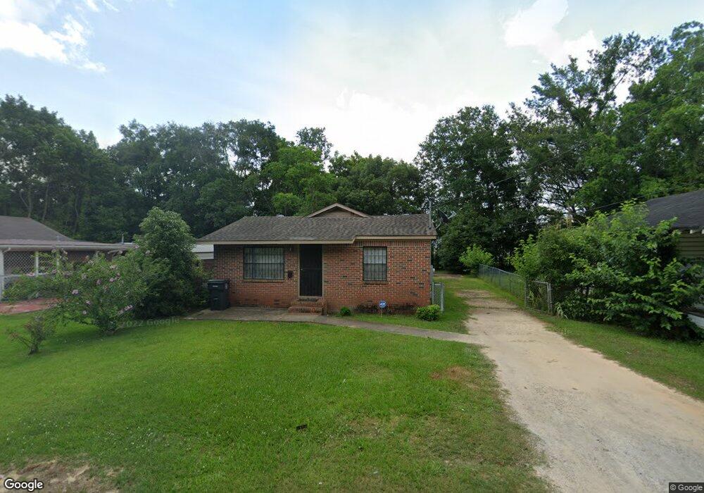
427 Grant Ave Mobile, AL 36610
East Prichard NeighborhoodEstimated Value: $39,000 - $52,000
3
Beds
2
Baths
1,200
Sq Ft
$36/Sq Ft
Est. Value
About This Home
This home is located at 427 Grant Ave, Mobile, AL 36610 and is currently estimated at $43,301, approximately $36 per square foot. 427 Grant Ave is a home located in Mobile County with nearby schools including W.D. Robbins Elementary School, Mobile Co Training Middle School, and Vigor High School.
Ownership History
Date
Name
Owned For
Owner Type
Purchase Details
Closed on
Dec 22, 2006
Sold by
Pettway Barbara Jean Nobles
Bought by
Stevenson Keoki M
Current Estimated Value
Home Financials for this Owner
Home Financials are based on the most recent Mortgage that was taken out on this home.
Original Mortgage
$34,400
Interest Rate
6.1%
Mortgage Type
Unknown
Purchase Details
Closed on
Apr 8, 1999
Sold by
Pettway Barbara Jean Nobles
Bought by
Estate Of Mamie L Nobles
Create a Home Valuation Report for This Property
The Home Valuation Report is an in-depth analysis detailing your home's value as well as a comparison with similar homes in the area
Home Values in the Area
Average Home Value in this Area
Purchase History
| Date | Buyer | Sale Price | Title Company |
|---|---|---|---|
| Stevenson Keoki M | -- | None Available | |
| Estate Of Mamie L Nobles | -- | -- |
Source: Public Records
Mortgage History
| Date | Status | Borrower | Loan Amount |
|---|---|---|---|
| Closed | Stevenson Keoki M | $34,400 |
Source: Public Records
Tax History
| Year | Tax Paid | Tax Assessment Tax Assessment Total Assessment is a certain percentage of the fair market value that is determined by local assessors to be the total taxable value of land and additions on the property. | Land | Improvement |
|---|---|---|---|---|
| 2025 | $125 | $2,830 | $400 | $2,430 |
| 2024 | $125 | $2,780 | $210 | $2,570 |
| 2023 | $113 | $2,710 | $210 | $2,500 |
| 2022 | $95 | $2,460 | $190 | $2,270 |
| 2021 | $109 | $2,710 | $210 | $2,500 |
| 2020 | $109 | $2,710 | $210 | $2,500 |
| 2019 | $91 | $2,400 | $0 | $0 |
| 2018 | $91 | $2,400 | $0 | $0 |
| 2017 | $87 | $2,320 | $0 | $0 |
| 2016 | $91 | $2,400 | $0 | $0 |
| 2013 | $124 | $2,900 | $0 | $0 |
Source: Public Records
Map
Nearby Homes
- 116 Grant Cir
- 302 S Price Ave
- 626 Percy Ave
- 407 Garrison Ave
- 0 N Thomas Ave Unit 7730384
- 1824 Nitson St
- 317 W Main St
- 719 Saxon St
- 721 Gilbert St
- 1201 W Turner Rd
- 0 W Prichard Ave Unit 7677800
- 0 W Prichard Ave Unit 7678472
- 0 N Wilson Ave Unit 7685671
- 0 N Wilson Ave Unit 388456
- 421 Foch St
- 227 E Elm St
- 715 Saint Stephens Rd
- 941 Avenue H
- 101 Diaz St
- 421 W Foch St Unit 15,16
Your Personal Tour Guide
Ask me questions while you tour the home.