427 Groton St Dunstable, MA 01827
Estimated Value: $718,092 - $1,041,000
3
Beds
3
Baths
2,074
Sq Ft
$396/Sq Ft
Est. Value
About This Home
This home is located at 427 Groton St, Dunstable, MA 01827 and is currently estimated at $822,273, approximately $396 per square foot. 427 Groton St is a home located in Middlesex County with nearby schools including Groton Dunstable Regional High School.
Ownership History
Date
Name
Owned For
Owner Type
Purchase Details
Closed on
Apr 27, 2010
Sold by
Mertz Rodney A
Bought by
King Karen
Current Estimated Value
Home Financials for this Owner
Home Financials are based on the most recent Mortgage that was taken out on this home.
Original Mortgage
$160,000
Outstanding Balance
$107,556
Interest Rate
5.11%
Estimated Equity
$714,717
Purchase Details
Closed on
Jul 29, 1997
Sold by
New Eng Development Rt and Page Dennis M
Bought by
Mertz Rodney A and Mertz Lynn M
Create a Home Valuation Report for This Property
The Home Valuation Report is an in-depth analysis detailing your home's value as well as a comparison with similar homes in the area
Home Values in the Area
Average Home Value in this Area
Purchase History
| Date | Buyer | Sale Price | Title Company |
|---|---|---|---|
| King Karen | $251,000 | -- | |
| Mertz Rodney A | $244,083 | -- |
Source: Public Records
Mortgage History
| Date | Status | Borrower | Loan Amount |
|---|---|---|---|
| Open | Mertz Rodney A | $160,000 | |
| Previous Owner | Mertz Rodney A | $16,200 | |
| Previous Owner | Mertz Rodney A | $261,800 | |
| Previous Owner | Mertz Rodney A | $262,800 |
Source: Public Records
Tax History Compared to Growth
Tax History
| Year | Tax Paid | Tax Assessment Tax Assessment Total Assessment is a certain percentage of the fair market value that is determined by local assessors to be the total taxable value of land and additions on the property. | Land | Improvement |
|---|---|---|---|---|
| 2025 | $8,513 | $619,100 | $228,500 | $390,600 |
| 2024 | $8,073 | $578,300 | $208,500 | $369,800 |
| 2023 | $8,064 | $538,700 | $208,500 | $330,200 |
| 2022 | $7,532 | $493,900 | $208,500 | $285,400 |
| 2021 | $5,713 | $449,300 | $190,400 | $258,900 |
| 2020 | $11,692 | $438,600 | $190,400 | $248,200 |
| 2019 | $7,232 | $423,900 | $190,400 | $233,500 |
| 2018 | $11,389 | $404,800 | $188,600 | $216,200 |
| 2017 | $6,798 | $399,400 | $188,600 | $210,800 |
| 2016 | $6,483 | $391,700 | $180,400 | $211,300 |
| 2015 | $6,229 | $372,300 | $152,700 | $219,600 |
| 2014 | $5,871 | $372,300 | $152,700 | $219,600 |
Source: Public Records
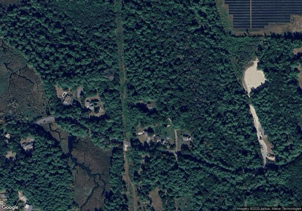
Map
Nearby Homes
- 8 Jamie Rd
- 153 Off Pond St
- 319 Pleasant St
- 660 Old Dunstable Rd
- 208 North St
- 2 Wildflower Ln
- 452 River St
- 0 Old Dunstable Rd
- 5 June St
- 46 Lowell Rd
- 91 Chicopee Row
- 446 Westford St
- 23 Shawnee Rd Unit 23
- 38 Tarbell St Unit 5B
- 573 Longley Rd
- 9 Tarbell St
- 28-30 Groton St
- 31 Prospect St
- 80A Nashua Rd
- 18 Ingalls Rd