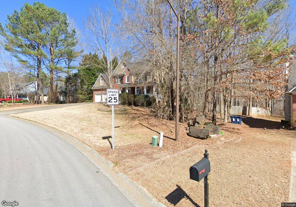
427 Heights Ln Acworth, GA 30101
Cedarcrest NeighborhoodEstimated Value: $424,000 - $480,000
4
Beds
3
Baths
2,410
Sq Ft
$187/Sq Ft
Est. Value
About This Home
This home is located at 427 Heights Ln, Acworth, GA 30101 and is currently estimated at $450,378, approximately $186 per square foot. 427 Heights Ln is a home located in Paulding County with nearby schools including Roland W. Russom Elementary School, East Paulding Middle School, and North Paulding High School.
Ownership History
Date
Name
Owned For
Owner Type
Purchase Details
Closed on
Oct 17, 2019
Sold by
Murray Frank M
Bought by
Lockerman Kelley
Current Estimated Value
Create a Home Valuation Report for This Property
The Home Valuation Report is an in-depth analysis detailing your home's value as well as a comparison with similar homes in the area
Home Values in the Area
Average Home Value in this Area
Purchase History
| Date | Buyer | Sale Price | Title Company |
|---|---|---|---|
| Lockerman Kelley | $274,875 | -- |
Source: Public Records
Tax History Compared to Growth
Tax History
| Year | Tax Paid | Tax Assessment Tax Assessment Total Assessment is a certain percentage of the fair market value that is determined by local assessors to be the total taxable value of land and additions on the property. | Land | Improvement |
|---|---|---|---|---|
| 2024 | $4,407 | $177,164 | $18,000 | $159,164 |
| 2023 | $4,686 | $179,732 | $18,000 | $161,732 |
| 2022 | $3,738 | $143,384 | $18,000 | $125,384 |
| 2021 | $3,070 | $105,636 | $18,000 | $87,636 |
| 2020 | $3,327 | $112,036 | $18,000 | $94,036 |
| 2019 | $3,189 | $105,840 | $18,000 | $87,840 |
| 2018 | $2,926 | $97,120 | $18,000 | $79,120 |
| 2017 | $2,963 | $97,008 | $18,000 | $79,008 |
| 2016 | $2,486 | $82,204 | $18,000 | $64,204 |
| 2015 | $2,200 | $71,480 | $18,000 | $53,480 |
| 2014 | $1,982 | $62,800 | $18,000 | $44,800 |
| 2013 | -- | $65,360 | $18,000 | $47,360 |
Source: Public Records
Map
Nearby Homes
- 63 Hickory Creek Ln
- 91 Hickory Creek Ln
- 115 Hickory Creek Ln
- 1945 Seymour Dr NW
- 6225 Collins Rd NW
- 63 Brookstone Park E
- 160 Brookstone Park E
- 107 Quail Run
- 174 Foxtail Pass
- 94 Brookstone Ct
- 1711 Farmview Trace NW
- 319 Hickory Lake Dr
- 130 Summerfield Ct
- 45 Fallow Ln
- 8461 Hiram Acworth Hwy
- 110 Fallow Ln