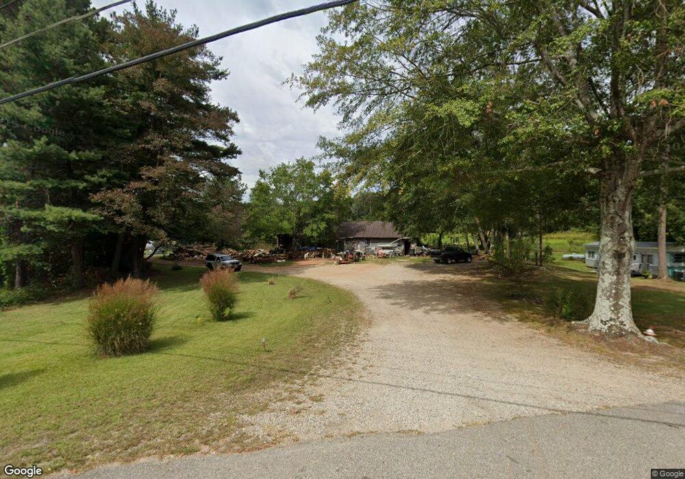
427 Highway 255 S Cleveland, GA 30528
Estimated Value: $507,000 - $821,000
3
Beds
2
Baths
2,477
Sq Ft
$267/Sq Ft
Est. Value
About This Home
This home is located at 427 Highway 255 S, Cleveland, GA 30528 and is currently estimated at $661,615, approximately $267 per square foot. 427 Highway 255 S is a home located in White County with nearby schools including White County 9th Grade Academy, Tesnatee Gap Elementary (Old White County Intermediate), and Jack P. Nix Elementary School.
Ownership History
Date
Name
Owned For
Owner Type
Purchase Details
Closed on
Dec 1, 2006
Sold by
Not Provided
Bought by
Brookshire Jerry L and Anderson Doris T
Current Estimated Value
Home Financials for this Owner
Home Financials are based on the most recent Mortgage that was taken out on this home.
Original Mortgage
$204,000
Outstanding Balance
$120,531
Interest Rate
6.19%
Mortgage Type
New Conventional
Estimated Equity
$541,084
Purchase Details
Closed on
Oct 25, 2005
Sold by
Moulton Berrong Candler
Bought by
Moulton Alice K and Moulton Eugene Paul
Purchase Details
Closed on
Aug 12, 2005
Sold by
Moulton Alice K
Bought by
Deal Thomas H and Deal Sylvia R
Create a Home Valuation Report for This Property
The Home Valuation Report is an in-depth analysis detailing your home's value as well as a comparison with similar homes in the area
Home Values in the Area
Average Home Value in this Area
Purchase History
| Date | Buyer | Sale Price | Title Company |
|---|---|---|---|
| Brookshire Jerry L | $312,500 | -- | |
| Moulton Alice K | -- | -- | |
| Deal Thomas H | $370,000 | -- |
Source: Public Records
Mortgage History
| Date | Status | Borrower | Loan Amount |
|---|---|---|---|
| Open | Brookshire Jerry L | $204,000 |
Source: Public Records
Tax History Compared to Growth
Tax History
| Year | Tax Paid | Tax Assessment Tax Assessment Total Assessment is a certain percentage of the fair market value that is determined by local assessors to be the total taxable value of land and additions on the property. | Land | Improvement |
|---|---|---|---|---|
| 2025 | $2,487 | $233,072 | $40,732 | $192,340 |
| 2024 | $2,487 | $222,892 | $30,552 | $192,340 |
| 2023 | $1,881 | $190,940 | $27,156 | $163,784 |
| 2022 | $2,024 | $165,840 | $23,760 | $142,080 |
| 2021 | $1,764 | $133,268 | $22,344 | $110,924 |
| 2020 | $1,528 | $121,816 | $22,344 | $99,472 |
| 2019 | $1,530 | $121,816 | $22,344 | $99,472 |
| 2018 | $1,530 | $121,816 | $22,344 | $99,472 |
| 2017 | $1,181 | $111,840 | $22,344 | $89,496 |
| 2016 | $1,181 | $111,840 | $22,344 | $89,496 |
| 2015 | $1,095 | $279,600 | $22,344 | $89,496 |
| 2014 | $2,744 | $261,420 | $0 | $0 |
Source: Public Records
Map
Nearby Homes
- 77 N Shore Dr
- 97 E Lake Laceola Rd S
- 22 Laurel Park Dr
- 0 Highway 115 E Unit 10627896
- 0 Highland Forest Rd Unit TRACT "2" 10559371
- LOT 138 Timber Rock Dr
- LOT 239 Shore Dr
- 575 Turner Rd
- 37 Stone Hearth Dr
- 438 Turner Rd
- 147 Lake Watch Point
- # 47 Chimney Ln
- 148 Chimney Ridge
- 338 Black Rd
- 33 Shady Ln
- 141 Willows Ct
- 31 Willows Ct
- 0 Black Rd Unit 7662078
- 0 Black Rd Unit 10620540
- 1021 Black Rd
- 457 Highway 255 S
- 331 Highway 255 S
- 231 Highway 255 S
- 564 Highway 255 S
- 43 Stonewall Dr
- 399 Highway 255 S
- 116 Edwards Dr
- 121 Savage Trail
- 329 Savage Trail
- 42 Stonewall Dr
- 191 Hwy 255 S
- 191 Highway 255 S
- 101 Stonewall Dr
- 0 Stonewall Dr Unit 7475026
- 0 Stonewall Dr
- 224 Edwards Dr
- 163 Savage Trail
- 153 Arrendale Dr
- 220 Edwards Dr
- 672 Highway 255 S