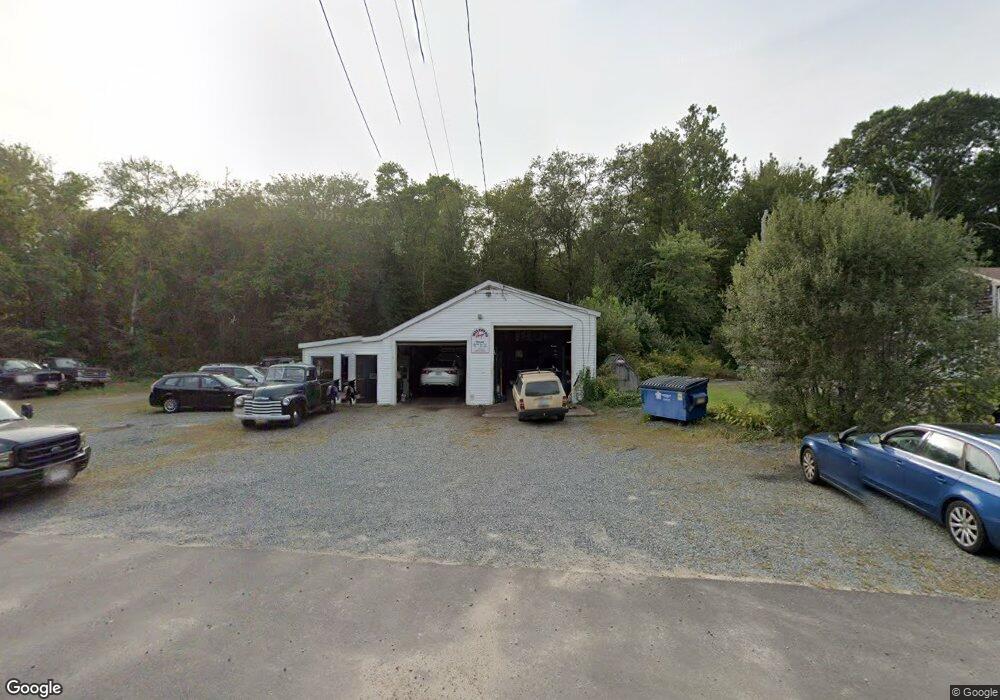
427 Main Rd Westport, MA 02790
Booth/Handy Four Corners NeighborhoodEstimated Value: $333,292
4
Beds
1
Bath
2,106
Sq Ft
$158/Sq Ft
Est. Value
About This Home
This home is located at 427 Main Rd, Westport, MA 02790 and is currently estimated at $333,292, approximately $158 per square foot. 427 Main Rd is a home located in Bristol County with nearby schools including Alice A. Macomber Primary School, Westport Elementary School, and Westport Middle-High School.
Ownership History
Date
Name
Owned For
Owner Type
Purchase Details
Closed on
May 22, 2015
Sold by
Wilfrids Garage Inc
Bought by
Cj Garage Llc
Current Estimated Value
Home Financials for this Owner
Home Financials are based on the most recent Mortgage that was taken out on this home.
Original Mortgage
$126,000
Outstanding Balance
$96,995
Interest Rate
3.66%
Mortgage Type
Commercial
Estimated Equity
$236,297
Purchase Details
Closed on
Aug 22, 2001
Sold by
Anctil Phyllis E Est
Bought by
Wilfrids Garage Inc
Create a Home Valuation Report for This Property
The Home Valuation Report is an in-depth analysis detailing your home's value as well as a comparison with similar homes in the area
Home Values in the Area
Average Home Value in this Area
Purchase History
| Date | Buyer | Sale Price | Title Company |
|---|---|---|---|
| Cj Garage Llc | $158,000 | -- | |
| Wilfrids Garage Inc | $50,000 | -- |
Source: Public Records
Mortgage History
| Date | Status | Borrower | Loan Amount |
|---|---|---|---|
| Open | Cj Garage Llc | $126,000 |
Source: Public Records
Tax History Compared to Growth
Tax History
| Year | Tax Paid | Tax Assessment Tax Assessment Total Assessment is a certain percentage of the fair market value that is determined by local assessors to be the total taxable value of land and additions on the property. | Land | Improvement |
|---|---|---|---|---|
| 2025 | $2,080 | $279,200 | $194,000 | $85,200 |
| 2024 | $2,087 | $270,000 | $184,800 | $85,200 |
| 2023 | $2,108 | $258,300 | $172,900 | $85,400 |
| 2022 | $1,892 | $223,100 | $172,900 | $50,200 |
| 2021 | $0 | $207,500 | $157,300 | $50,200 |
| 2020 | $1,749 | $207,500 | $157,300 | $50,200 |
| 2019 | $1,579 | $190,900 | $140,700 | $50,200 |
| 2018 | $2,789 | $167,700 | $133,100 | $34,600 |
| 2017 | $0 | $182,200 | $133,100 | $49,100 |
| 2016 | $1,669 | $211,000 | $133,100 | $77,900 |
| 2015 | -- | $212,400 | $133,100 | $79,300 |
Source: Public Records
Map
Nearby Homes
- 8 Strawberry Ln
- 118 Charlotte White Rd Extension
- 118 Charlotte White Rd
- 0 Hidden Glen Ln
- Lot 0 Marcotte
- 15 Village Way
- 7 Village Way
- 8 Village Way
- 47 Fallon Dr
- 978 Sodom Rd
- 837 Main Rd
- 4 Main Rd
- 6 Angel Ct
- 101 Adamsville Rd
- 920 Drift Rd
- 225 Hixbridge Rd
- 73 White Oak Run
- 218 American Legion Hwy
- 308 Robert St
- 27 Dias Ave
- 415 Main Rd
- 405 Main Rd
- 438 Main Rd
- 416 Main Rd
- 441 Main Rd
- 397 Main Rd
- 20 Charlotte White Rd
- 13 Charlotte White Road Extension
- 472 Main Rd
- 22 Charlotte White Rd
- 7 Charlotte White Road Extension
- 7 Charlotte White Rd Unit EXT
- 7 Charlotte White Rd
- 36 Charlotte White Rd
- 383 Main Rd
- 380 Main Rd
- 19 Charlotte White Road Extension
- 38 Charlotte White Rd
- 25 Charlotte White Road Extension
- 12 Charlotte White Rd