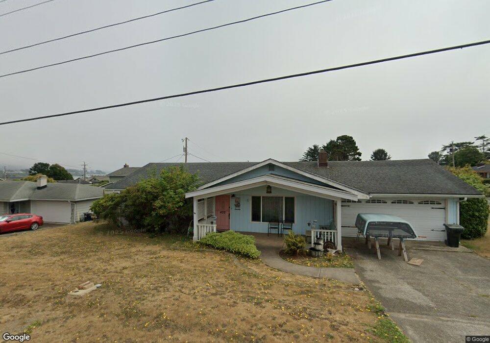
427 Memory Ln Brookings, OR 97415
Estimated Value: $377,000 - $415,581
3
Beds
2
Baths
1,112
Sq Ft
$356/Sq Ft
Est. Value
About This Home
This home is located at 427 Memory Ln, Brookings, OR 97415 and is currently estimated at $396,291, approximately $356 per square foot. 427 Memory Ln is a home located in Curry County with nearby schools including Kalmiopsis Elementary School, Azalea Middle School, and Brookings-Harbor High School.
Ownership History
Date
Name
Owned For
Owner Type
Purchase Details
Closed on
Apr 22, 2018
Sold by
Barry Delores E
Bought by
Barry Donald W
Current Estimated Value
Purchase Details
Closed on
Mar 5, 2014
Sold by
Clark Marlene and Davis Sheryl
Bought by
Barry Donald W
Home Financials for this Owner
Home Financials are based on the most recent Mortgage that was taken out on this home.
Original Mortgage
$169,375
Interest Rate
4.25%
Mortgage Type
FHA
Create a Home Valuation Report for This Property
The Home Valuation Report is an in-depth analysis detailing your home's value as well as a comparison with similar homes in the area
Home Values in the Area
Average Home Value in this Area
Purchase History
| Date | Buyer | Sale Price | Title Company |
|---|---|---|---|
| Barry Donald W | -- | -- | |
| Barry Donald W | $172,500 | Curry County Title Inc |
Source: Public Records
Mortgage History
| Date | Status | Borrower | Loan Amount |
|---|---|---|---|
| Previous Owner | Barry Donald W | $169,375 |
Source: Public Records
Tax History
| Year | Tax Paid | Tax Assessment Tax Assessment Total Assessment is a certain percentage of the fair market value that is determined by local assessors to be the total taxable value of land and additions on the property. | Land | Improvement |
|---|---|---|---|---|
| 2025 | $1,843 | $195,000 | -- | -- |
| 2024 | $1,790 | $189,330 | -- | -- |
| 2023 | $1,738 | $183,820 | $0 | $0 |
| 2022 | $1,687 | $178,470 | -- | -- |
| 2021 | $1,638 | $173,280 | $0 | $0 |
| 2020 | $1,691 | $168,240 | $0 | $0 |
| 2019 | $1,553 | $163,340 | $0 | $0 |
| 2018 | $1,619 | $158,590 | $0 | $0 |
| 2017 | $1,559 | $158,590 | $0 | $0 |
| 2016 | $1,522 | $153,980 | $0 | $0 |
Source: Public Records
Map
Nearby Homes
- 438 Buena Vista Loop
- 20 Seascape Ct
- 425 Memory Ln
- 19 Otter Terrace
- 0 Otter Terrace Unit 131041760
- 219 Schooner Bay Dr
- 210 Schooner Bay Dr
- 204 Schooner Bay Dr
- 237 Wharf St
- 531 Hemlock St
- 425 Railroad St
- 222 Del Norte Ln Unit 8
- 325 Railroad St
- 842 Chetco Point Terrace
- 322 Del Norte Ln
- 403 Linden Ln
- 328 Spruce Dr
- 433 Pine St
- 616 Pacific Ave
- 542 Pacific Ave
- 428 Buena Vista Loop
- 426 Buena Vista Loop
- 445 Buena Vista Loop
- 204 Cedar St
- 443 Buena Vista Loop
- 203 Cedar St
- 415 Memory Ln
- 418 Memory Ln
- 441 Buena Vista Loop
- 509 Memory Ln
- 427 Buena Vista Loop
- 426 Memory Ln
- 206 Cedar St
- 435 Buena Vista Loop
- 544 Cushing Ct
- 205 Cedar St
- 439 Buena Vista Loop
- 421 Memory Ln
- 425 Buena Vista Loop
- 511 Memory Ln
Your Personal Tour Guide
Ask me questions while you tour the home.